”Hi, my name is Francis. I am your travel guide to the roots of the London Underground and to the origins of the names of all stations currently in use. This is the second stake of our journey. Relax and welcome! Here are the stations from Caledonian Road to Euston Square.”
CALEDONIAN ROAD
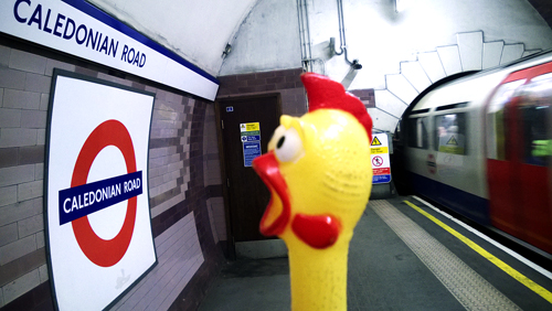 Caledonian Road was constructed c. 1826 and is named from the Caledonian Asylym for Scottish children established on a site nearby in 1815. The road was referred to as ’New Road from Battle Bridge to Holloway’ in 1841.
Prior the station’s opening, the name of Barnsbury was considered, but it opened as Caledonian Road on 15 December 1906.
CAMDEN TOWN
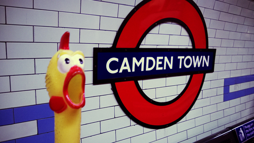
This area of north west London was built c. 1791, and was once a manor belonging to St Paul’s Cathedral. The manor was obtained, by marriage, in 1795 by Charles Pratt, Earl of Camden, of Camden Place in Kent, and is so named. The Earl allowed his land to be leased for building houses, so in the course of time Camden Town came into use.
Prior the station’s opening, the name Camden Road was considered, but it opened as Camden Town on 22 June 1907.
CANADA WATER
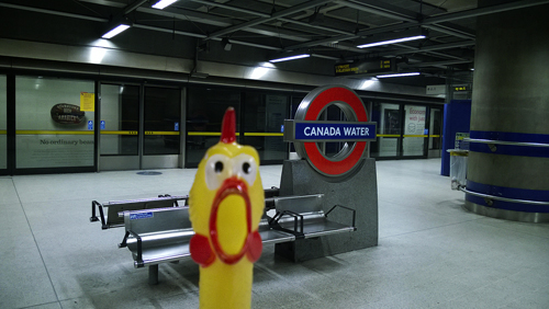
Canada Water is a new development in this area and it takes its name from the original Canada Docks which were built in 1876.
The station opened as Canada Water on 17 September 1999.
CANARY WHARF
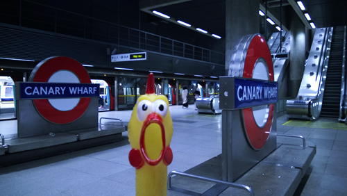
Canary Wharf was built in 1936 and then owners of the wharf, Fruit Lines Ltd, built a warehouse for their imports of fruits from the Canary Islands and the Mediterranean in 1937, hence the name.
The station opened as Canary Wharf on 17 September 1999.
CANNING TOWN
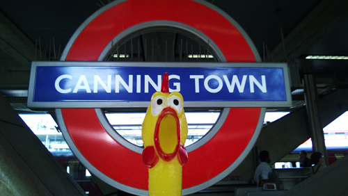
Canning Town is the industrial and residential district built up during the 1850s to house the labourers working in the nearby Victoria Docks. It has been suggested that the town was named in honour of Lord Canning (a former Governor General of India) but this can be discounted. In fact the town takes it name from an industrial firm which was once centred in this area.
The original Great Eastern Railway station was opened on the south side of the Barking Road as Canning Town in 1847, being moved to its present site in 1888. The adjacent Jubilee Line station was opened as Canning Town on 14 May 1999.
CANNON STREET
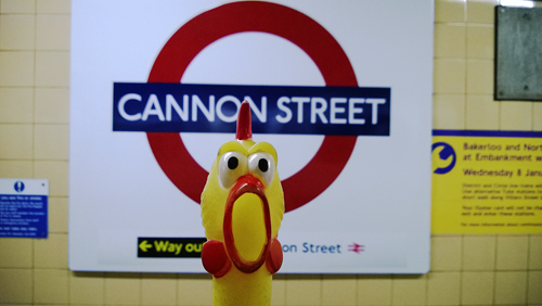
Cannon Street has no connection with guns or even billiards as the name might suggest, for the candle-makers and wick-chandlers who made their wares for the Church lived here in the late Middle Ages. It was first mentioned in the records of c. 1180 as Candelwichstrete (from Candle and the Old English wic, ’a dwelling’). Through a series of name-shortenings and the Cockney dialect the name was contracted to Cannon Street by the mid-17th century and this modern form was noted by Pepys in his famous diary in 1667. On the site of the present mainline station was once the Steelyard, a store to which members of the German Hanseatic League once brought their goods for sale.
The main line station was opened by the South Eastern Railway on 1 September 1866. The Underground station was opened also as Cannon Street on 6 October 1884.
CANONS PARK
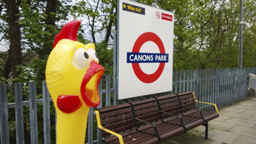
Six acres of this area were granted to the Prior of the St Augustinian canons of St Bartholomew’s, Smithfield, in 1331 and were recorded as Canons during the 16th century. Canons Park later became the property of the Duke of Chandos and on the estate was built the Duke’s magnificent mansion (also named ’Canons’) which was demolished after its sale by the Duke’s heir in 1747, being broken up and sold by lots at auction.
The station was opened on 10 December 1932 as Canons Park (Edgware), becoming just Canons Park during 1933.
CHALFONT & LATIMER
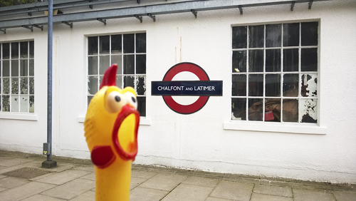
Chalfont was recorded as Ceadeles funta in 949 from the personal name of Saxon, Ceadel, and the Old Welch funta, ’a spring or stream’ – ’Ceadel’s home near spring’. Latimer is also derived from a personal name, recorded as Yselhamstede in 1220 and Isenhampstede Latyer in 1389, from William Latymer, who obtained the manor on this site in 1330; the name was over time shortened to Latimer.
The station was opened as Chalfont Road on 8 July 1889 and re-named Chalfont & Latimer in November 1915.
CHALK FARM
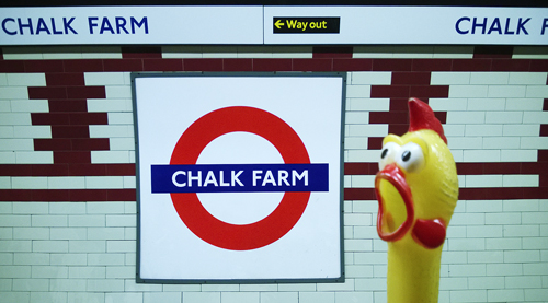
It has been suggested this is a corruption of the wording Chalcot Farm but there is no evidence that a farm ever existed in this area. Recorded as Chaldecot(e) in 1253, it is stated that this name is derived from cold cottages, referring to the slopes of nearby Haverstock Hill which were bleak and exposed in the early days of settlement in this area. It seems that there was also a place of shelter here for travellers to London.
Prior to the opening of the station the name Adelaide Road was suggested, but it opened as Chalk Farm on 22 June 1907.
CHANCERY LANE

Chancery Lane was constructed by the Knights Templars c. 1160 and has a long history with many changes of name. It was recorded as Newstrate (New Street) in the early part of the 13th century. During the reign of Henry III (1216 – 72) a house was erected on the eastern side of the lane for the conversion of Jews to the Christian faith. The house became famous and Newstrate became Convers Lane. Towards the end of 13th century, Edward I banished the Jews from the country and the house was used by ’the Keeper of the Rolls’, where the official records of the Inns of Chancery were kept and once again the name of the street was changed to Chancellor’s Lane and was recorded as this in 1320. Eventually this name was superseded (once again) by Chancery Lane, c. 1454 and it seems to imply that the Chancellor (of the Rolls) had a personal office or residence in the Lane.
The station was opened as Chancery Lane on 30 July 1900. After extensive re-construction, a new station was opened as Chancery Lane (Grays Inn) on 25 June 1934, gradually reverting to just Chancery Lane.
CHARING CROSS
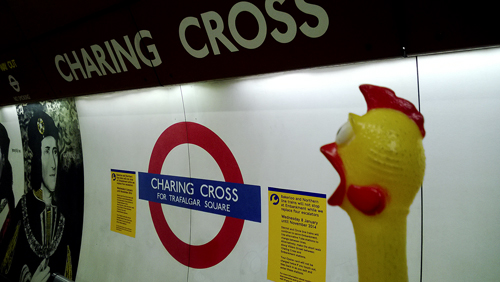
By tradition, it is said that Edward I in 1291 set up a stone cross near what is now a courtyard of the main-line station to mark the last resting place of the funeral cortege of his Queen Eleanor as it passed from Harby to Westminster – hence the Cross part of the name which was recorded as the stone cross of Cherryngge during the 14th century. There was a little village named Cyrringe c. 1000 and the name is derived from the Old English cierring, ’turning’ or ’to turn’, probably referring to the bend in the river Thames nearby. Charing Cross Road was built in the 1880s.
The Bakerloo Line station was opened as Trafalgar Square on 10 March 1906. The Northern Line station was opened as Charing Cross on 22 June 1907, being re-named Charing Cross (Strand) on 6 Aprill 1914 and further re-named Strand on 9 May 1915 until being closed for re-building on 4 June 1973. The combined station serving the Bakerloo, Northern and Jubilee lines was named Charing Cross from 1 May 1979.
CHESHAM
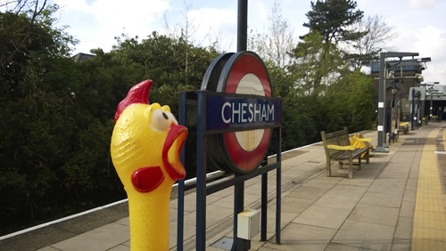
Chesman had an early association with the Old English ceaster – signifying ’a Roman town and fortification’. Recorded during the 10th century as Caesteshamm from the Old English caestel, literally ’a heap of stones’, and hamm, ’a water meadow’ – meaning ’a boundary mark by a spring’. In the course of time the name has changed to Chesham, and nearby is the river Chess.
The station was opened as Chesham on 8 July 1889.
CHIGWELL
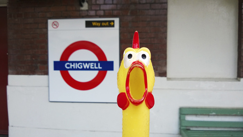
Chigwell was recorded as Cingheuuella in the Domesday Book and may be associated with a Saxon named Cicea. But the name is probably derived from the Old English ceaege, ’gorse’ and weg, ’well’ – ’the well within the shingle’. The name has changed in the course of time to Chigwell.
The station was opened as Chigwell by the Great Eastern Railway on 1 May 1903 and first used by Underground trains on 21 November 1948.
CHISWICK PARK
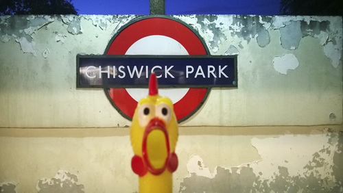
Recorded as Ceswican c. 1000, Chiswick has had various spellings throughout time, and is thought to derive from the Old English cese, ’cheese’ and wic, ’farm’. Although there are parks nearby the station, they are not connected with the original park.
The station was opened as Acton Green on 1 July 1879; re-named Chiswick Park & Acton Green in March 1887; and Chiswick Park on 1 March 1910.
CHORLEYWOOD
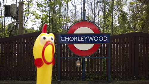
The Old English word for a free peasant lower than the rank of nobleman was ceorl and these people once had an encampment on a site near here. Recorded as Charlewoode in 1524 although the name is of an earlier origin and is derived from the Old English ceorl (the group name of the people) and leah, ’a wood’ – ’the wood or clearing of the free peasants’ and known as Chorley Wood by 1730.
The station opened as Chorley Wood on 8 July 1889, and was re-named Chorley Wood & Chenies in November 1915. It reverted to Chorley Wood during 1934 until about 1964 when the single word Chorleywood appeared on maps and later on platform signs.
CLAPHAM COMMON
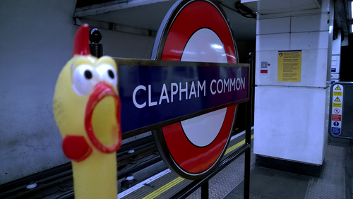
There was an ancient village on the site of the present Clapham, recorded as Cloppaham c. 880 and as Clopeham in the Domesday Book. The name is derived from the Old English clap, ’a hill’ and ham, ’home’ – this wording for hill usually refers to one on stubby ground. The Common was called Clapham Common in 1718 and the meaning of the word is track of open land used in common by the inhabitants of the town.
The station was opened as Clapham Common on 3 June 1900.
CLAPHAM NORTH
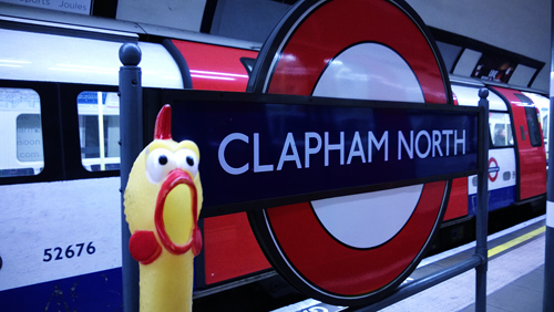
See Clapham Common.
The station was opened as Clapham Road on 3 June 1900 and re-named Clapham North on 13 September 1926.
CLAPHAM SOUTH
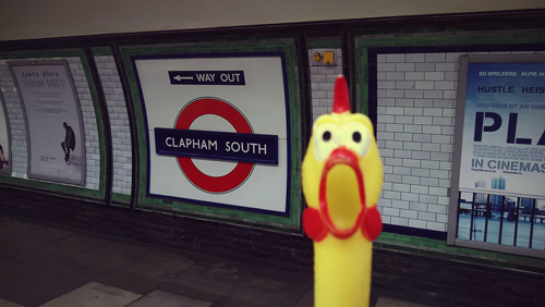
See Clapham Common.
The name of Nightingale Lane was chosen first, but the station opened as Clapham South on 13 September 1926.
COCKFOSTERS
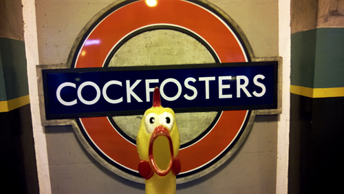
This district of north London was recorded as Cockfosters in 1524 and although the origin of the name is uncertain, it is possible that it is derived from either the personal name of a family that once lived here, or a house recorded in 1613 on the edge of Enfield Chase and called Cockfosters. It is suggested that this was a residence of the chief forester (or cock forester), hence this rather unusual name which, until the arrival of the tube, was sometimes spelt as two words.
Prior to the station’s opening the name Trent Park was considered, but it opened as Cockfosters on 31 July 1933.
COLINDALE
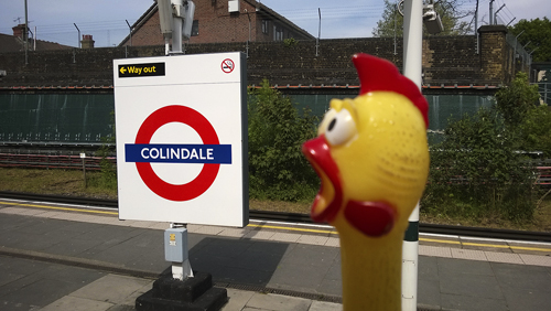
Colindale was recorded as Collyndene in 1550, Collins Deepe in 1710 and probably should be associated with the family of John Collin who once lived here. The ’Deep’ must refer to the valley of the nearby Silk Stream (later changed to Dale, from the Old English dael, ’a valley’). Colindale, therefore, means ’the home of the Collins Family in the valley’.
The station was opened as Colindale on 18 August 1924.
COLLIERS WOOD
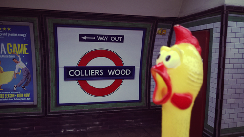
Colliers Wood takes its name from the Colliers or ’charcoal burners’ who worked in this area during the 16th century.
The station was opened as Colliers Wood on 13 September 1926.
COVENT GARDEN
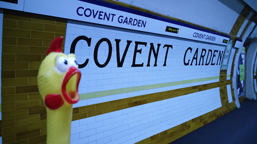
Covent Garden was originally the walled enclosure and garden belonging to the monks of Westminster Abbey, recorded in 1491 as Convent Garden (from Old French couvent), which stretched from Long Acre to the Strand. After the dissolution of the monasteries the site was claimed by the Crown and sold to the 1st Earl of Bedford in 1552 who had a house built here, while the 4th Earl had the area laid out as a residential quarter. Covent Garden was famous for its fruit market established in 1661, now moved to a site at Vauxhall in south London, and for its Royal Opera House, the third and present one on this site being built in 1858.
The station opened as Covent Garden on 11 April 1907.
CROXLEY
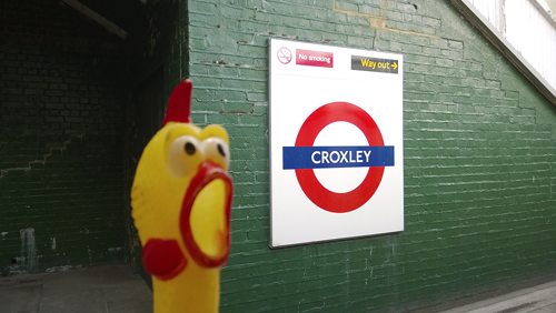
The name is derived from the Old English crocs, ’a clearing’ and leah, ’a forest’ – means ’the clearing in the forest’. It was recorded as Crocesleya in 1166 with variant spellings until 1750 when it was known as Crosley (Green).
The station was opened as Croxley Green on 2 November 1925 and re-named Croxley on 23 May 1949.
DAGENHAM EAST
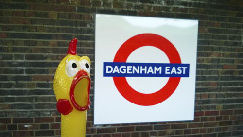
The name Dagenham was originally recorded as Daccanhamm in 692 and is derived from the personal name of the Saxon Daecca and the Old English ham, ’a homestead’ and means ’the home of Decca’ and his family, that once lived on a site here. It was recorded as Dakenham in 1254.
The station was opened as Dagenham by the London, Tilbury & Southend Railway on 1 May 1885, and was first used by Underground trains on 2 June 1902. It was re-named Dagenham East on 1 May 1949.
DAGENHAM HEATHWAY
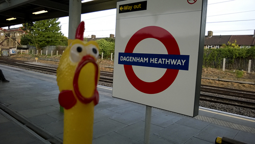
The name Dagenham was originally recorded as Daccanhamm in 692 and is derived from the personal name of the Saxon Daecca and the Old English ham, ’a homestead’ and means ’the home of Decca’ and his family, that once lived on a site here. It was recorded as Dakenham in 1254.
The Heathway as the name suggest takes its name from the road that runs to the north, through Dagenham to Becontree Heath.
The station was opened as Heathway on 12 September 1932 and re-named Dagenham Heathway in May 1949.
DEBDEN
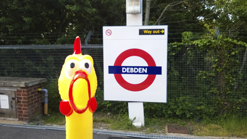
Debden takes its name from a natural location of the area and is recorded as Deppendana in the Domesday Book. It is derived from the Old English deb, ’deep’ and den, ’valley’ – which means simply ’the deep valley’. It was recorded as Depeden in 1227.
The station was opened by the Great Eastern Railway as Chigwell Road on 24 April 1865, and re-named Chigwell Lane on 1 December 1865. It was again re-named as Debden on 25 September 1949 when first used by Underground trains.
DOLLIS HILL
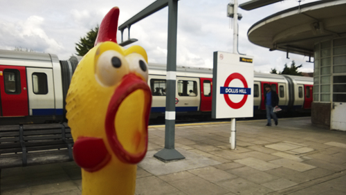
Dollis Hill was recorded as Daleson Hill in 1593 and later as Dolly’s Hill, but the name origin is unknown: possibly it is taken from a nearby manor that once was here. Dollis Hill Lane, the main road, climbs the Hill at this point.
The station was opened as Dollis Hill on 1 October 1909.
EALING BROADWAY
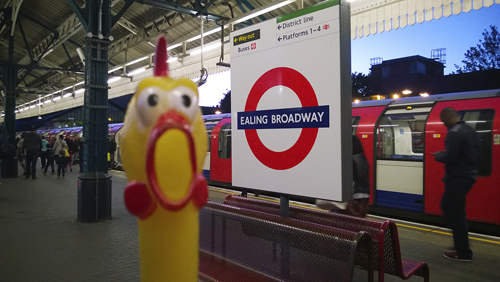
Gillingas was recorded for this area c. 698 and is derived from the Saxon people the Gilla and the Old English place name word ending, ing, literally, ’the people who lived at’. It has had many changes of spelling – Ilingis c. 1127, then Yealing to Ealing in 1622. The Broadway is the main road beside the station
The District Line station, adjoining that of the Great Western Railway, opened as Ealing Broadway on 1 July 1879. Central Line platforms being added on 3 August 1920.
EALING COMMON
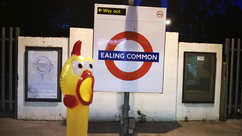
The Common lies to the south of the Ealing Broadway station. The meaning of the word ’common’ is track of open land used in common by the inhabitants of the town.
The station was opened on 1 July 1879 as Ealing Common; renamed Ealing Common & West Acton in 1886; and reverted to Ealing Common on 1 March 1910.
EARL’S COURT
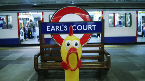
After the Conquest the De Vere family were granted the Manor of Kensington which at one time had a court house. Later the head of the family was created Earl of Oxford, hence the name Earl’s Court. The old Court stood beside a little lane which is still called Old Manor Yard, but the court building was demolished in 1886. Now on the site are Barkston and Bramham Gardens.
The station was opened as Earl’s Court on 31 October 1871, burnt down 30 December 1875 and repaired temporarily; new station further west opened 1 February 1878.
EAST ACTON
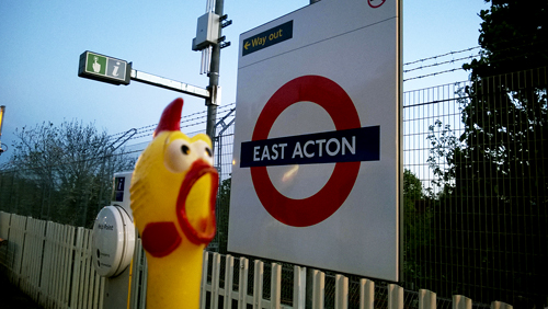
See Acton Town for meaning the name. East Acton was formerly a separate hamlet from Acton and was recorded as Eastacton in 1294.
The station was opened as East Acton on 3 August 1920.
EASTCOTE
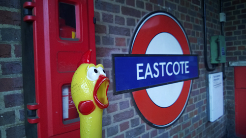
Eastcote was known as Estcotte during the 13th century and the name is only slightly changed in the course of time. The name is derived from the Old English cote, ’cottage’ or ’shelter’ and means ’the cottage(s) to the east, literally the hamlet to the east of Ruislip, for there was once a Westcott also.
The station was opened as Eastcote on 26 May 1906.
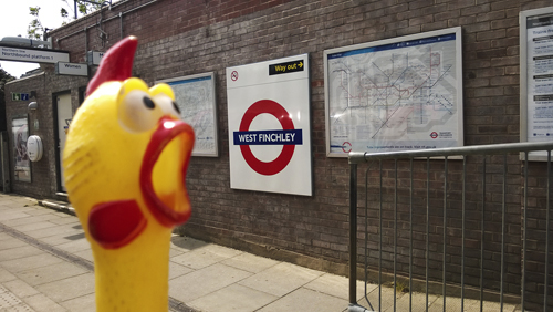
EAST FINCHLEY
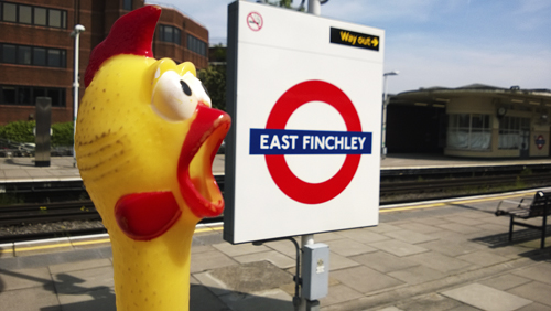
See Finchley Central.
The station was opened as East Finchley on 22 August 1867 and was first used by Underground trains on 3 July 1939.
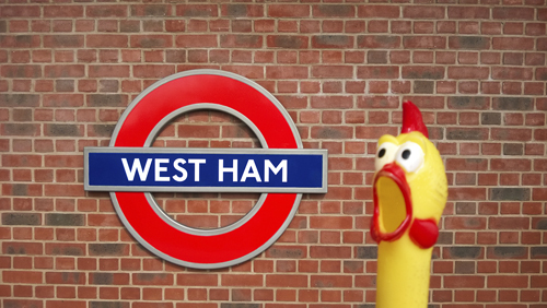
EAST HAM
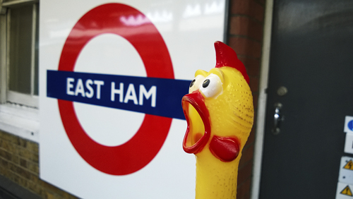
East Ham was recorded as Hamme in 958 which signifies that this and West Ham comprised one single geographical location and not until 1206 was the name Eastham recorded. The name is derived from the Old English hamm, ’a water meadow’ – referring to the low-lying riverside meadow near the bend of the Thames. (See also West Ham.)
The station was opened as East Ham by the London, Tilbury & Southend Railway on 31 March; first used by Underground trains on 2 June 1902.
EAST PUTNEY
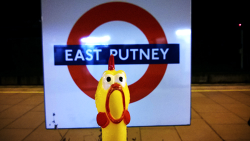
See Putney Bridge.
The station was opened as East Putney by the London & South Western Railway on 3 June 1889 and was served by District Line trains from that date.
EDGWARE
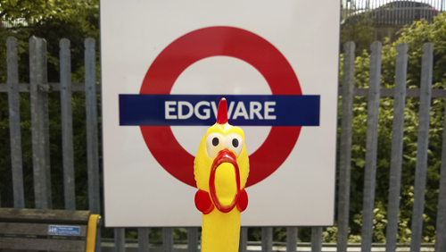
Edgware was recorded Aegces Wer in 972–8 and Eggeswera later and is derived from the personal name of a Saxon Ecgis and weir – means simply, ’Ecgis’, fishing pool from a local stretch of water. From an early set of boundaries the precise position of the fishing pool can be ascertained; it is where Watling Street (now Edgware Road) crosses the Edgware Brook.
The station was opened as Edgware on 18 August 1924.
EDGWARE ROAD
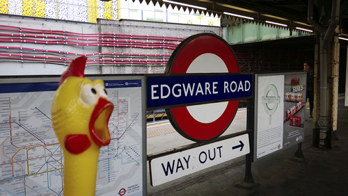
Edgware Road was once part of Roman road called Watling Street that ran from Dover through London to St Albans. During the 18th century the road became Edgware Road, being the direct route from Marple Arch to Edgware, which lies to the north west. Until the early 1900s it was often spelled Edgeware.
The Metropolitan line station was opened as Edgeware Road on 10 January 1863; the separate Bakerloo Line station was opened as Edgware Road on 15 June 1907.
ELEPHANT & CASTLE
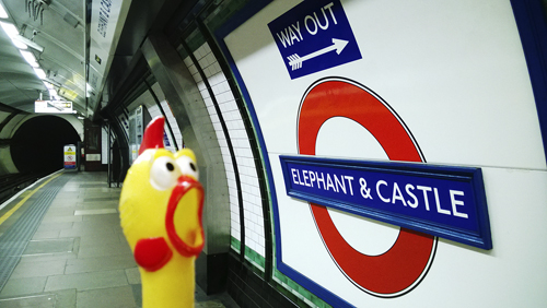
Elephant & Castle was named after an old tavern which was originally on the site of a 16th-century playhouse, the ’Newington Theatre’, which staged many of Shakespeare’s plays. Later converted into a tavern and, during the 18th century, to a posting house and inn, being rebuilt in 1816 and again in 1898. The tavern had a gilt model of an elephant and castle on its frontage, which was preserved when the building was demolished in 1959, and is now displayed in the nearby shopping centre. The sign originated from the badge of the Cutler’s Company who adopted the elephant as its device in 1445 when at the marriage of Henry VI to Queen Margaret the members of the Company wore elephants as decorations upon their coats or shields; this may have represented the ivory used cutlers for their craft. The theory that the name is a corruption of The Infanta of Castile has no historical foundation. The present day ’pub’ stands a short distance from the old site.
The Northern Line station opened as Elephant & Castle on 18 December 1890; the Bakerloo Line station on 5 August 1906.
ELM PARK
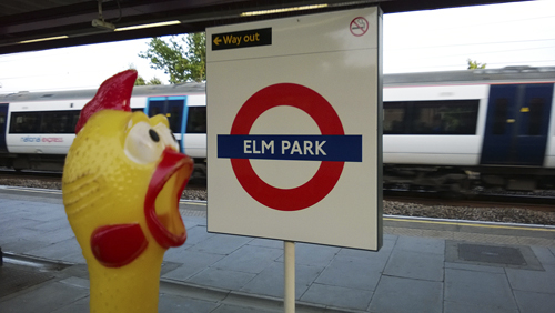
As the name suggest, Elm Park takes its name from natural local woodland and was perhaps a meeting place of the local inhabitants long ago.
The station was opened as Elm Park on 13 May 1935.
EMBANKMENT
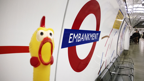
The Embankment is the roadway by the River Thames. In 1863 an Act of Parliament was passed for the building of the embankments and work started immediately on the new Victoria Embankment between Westminster and the Temple. It was completed and opened to the public in 1870.
The District Line station opened as Charing Cross on 30 May 1870. The Bakerloo Line station, opened on 10 March 1906, was first named Embankment; then re-named Charing Cross (Embankment) on 6 April 1914 when the Northern Line platforms were opened. The combined station was named Charing Cross 0n 9 May 1915. It was re-named Charing Cross Embankment on 4 August 1974, being further re-named as Embankment on 12 September 1976.
EPPING
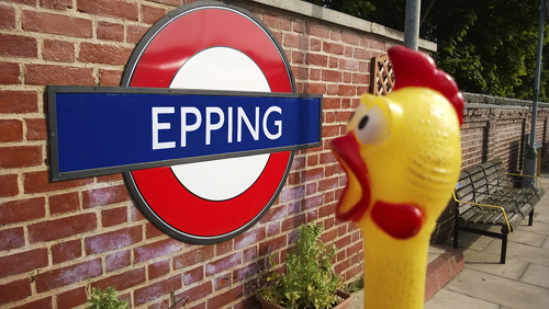
Epping was recorted as Eppinges in the Domesday Book from the people known as Yippinga, derived from the Old English yppe, ’ a raised place’ and the ing word ending (literally ’the people who lived here’) and means ’the people who live on the uplands’ referring also to a look-out post they had here. It was recorded as Upping in 1227, then Epping.
The station was opened as Epping by the Great Eastern Railway on 24 April 1865 and first used by underground trains on 25 September 1949. Since 30 September 1994 Epping has been the eastern terminus of the Central Line, the Ongar branch having closed on that date.
EUSTON
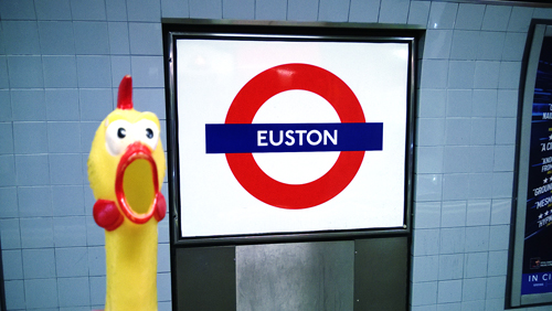
Euston takes its name from the main-line station, opened on 20 July 1837, which was adjacent to Euston Grove and Euston Square on the estate held by the Duke of Grafton, whose seat was at Euston Hall, Suffolk.
Prior to the Underground station’s opening the name of Melton Street was considered, but the station opened as Euston on 12 May 1907.
EUSTON SQUARE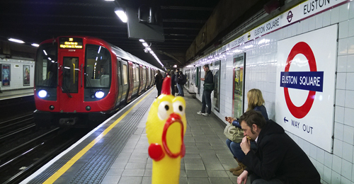
Euston Square was laid out in 1805 and, like Euston, takes its name from the seat of the Duke of Grafton. The station is on the site of a farm which existed as late as 1830.
The station was opened as Gower Street on 10 January 1863 and was re-named Euston Square on 1 November 1909.


