
”Hi, my name is Francis. I am your travel guide to the roots of the London Underground and to the origins of the names of all stations currently in use. This is the sixth and penultimate stage of our journey. Welcome aboard again! Here are the stations from Saint James’s Park to Turnpike Lane.”
ST JAMES’S PARK
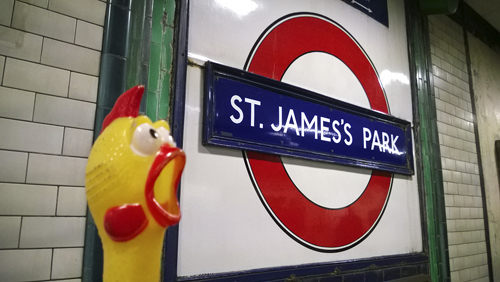
St James’s Park lies on the site of an ancient hospital dedicated to St James the Less, from which it takes its name. It was part of a swamp until, on the orders of Henry VIII in 1532, it was drained to become a bowling green, tilt yard, and breeding ground for deer. John Nash re-designed the park in 1827–29.
The station was opened as St James’s Park on 24 December 1868.
ST JOHN’S WOOD
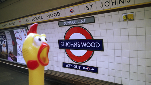
St John’s Wood was recorded as Sci Johannis in 1924, and the wood was granted to the Knights Templars of St John of Jerusalem but later passed into the possession of the Hospitallers of the Order. This fashionable district of north-west London was first recorded as (Grete) St John’s Wood in 1558.
The Metropolitan Railway station opened as St John’s Wood Road on 13 April 1868; re-named St John’s Wood on 1 April 1925; and further re-named Lords on 11 June 1939. It was replaced together with Malrborough Road by a new St John’s Wood station on the Bakerloo Line which opened on 20 November 1939. The new station was sited between the two closed stations and was originally planned to be named Acacia Road.
ST PAUL’S
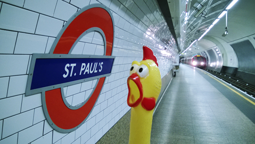
St Paul’s takes its name from the nearby Cathedral of the Diocese of London. The tradition that a Roman temple once stood here has no evidence to support it. There was, however, a Christian Church built here in the 7th century which was destroyed by fire in 1087. This is the third Cathedral built on the present site, and was planned by Sir Christopher Wren after the previous on had been destroyed in the Great Fire of London in 1666. Construction commenced in 1675 and was completed some 27 years later.
The station was originally to be named Newgate Street, but opened as Post Office on 30 July 1900, the General Post Office headquarters being closed by. The station was re-named St Paul’s on 1 February 1937.
SEVEN SISTERS
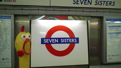
Seven Sisters took its name from seven elm trees which stood near Page Green, where the Seven Sisters Road (built 1831–33) joint the old Ermine Street. They were marked as 7 Sesters in 1754 then Seven Sisters in 1805.
The station was opened as Seven Sisters on 1 September 1968.
SHEPHERD’S BUSH
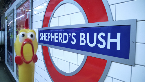
Shepherd’s Bush either takes its name from the shepherds who used this place as a meadow or more likely from a personal name of someone so called. It was recorded as Sheppards Bush Green in 30 July 1900.
The Central London Railway Shepherd’s Bush Station was opened 30 July 1900.
SHEPHERD’S BUSH MARKET
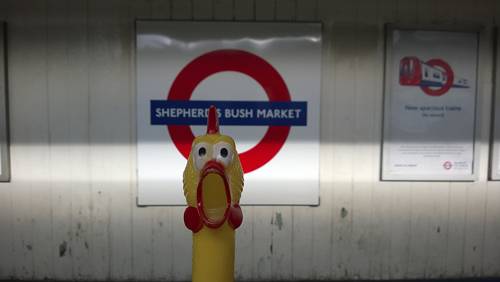
See Shepherd’s Bush. The market is on Underground-owned land and opened for business in 1914 when the station was re-sited on the north side of the Uxbridge Road.
The original station opened as Shepherd’s Bush on 13 June 1864, being re-named on 12 October 2008.
SLOANE SQUARE
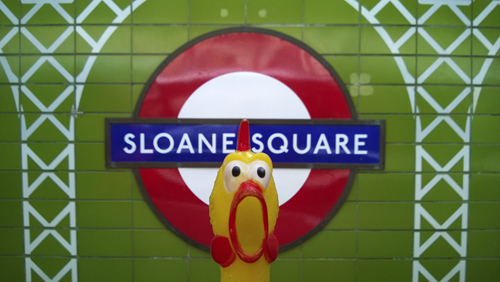
Like many other street names in this part of London, the square is named in honour of Sir Hans Sloane (1660–1753) the physician and botanist who purchased the manor of Chelsea from the Cheyne family in 1712. In 1749 his great collection of books and curiosities formed the basis of the British Museum. Over the station, through a square iron conduit 15 feet above the platforms, passes the River Westbourne which eventually reaches the River Thames by Chelsea Bridge.
The station was opened as Sloane Square on 24 December 1868. It was severely damaged in an air raid on 12 November 1940; rebuilding after the Second World War was completed on 3 May 1951.
SNARESBROOK
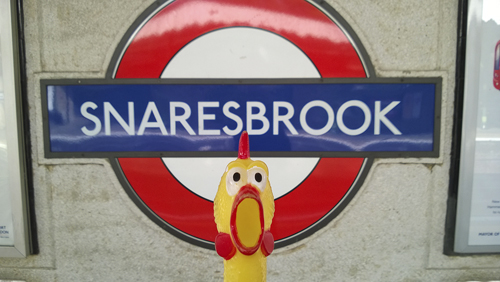
Snaresbrook was so named in 1599 and takes its name from a nearby natural landmark. The name is derived from the Old English shear, ’swift’ and brook – ’the swift flowing brook’.
The station was built as Snaresbrook & Wanstead by the Eastern Counties Railway and opened on 22 August 1856. First used by Underground trains and re-named Snaresbrook on 14 December 1947.
SOUTH EALING
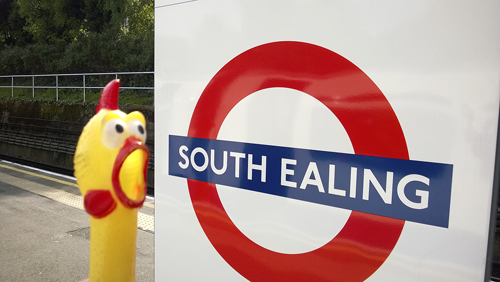
See Ealing Broadway.
The station was opened as South Ealing on 1 May 1883.
SOUTHFIELDS
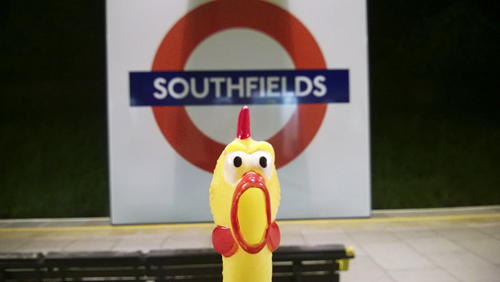
Southfields was recorded as Sutfield in 1247 and takes its name from a great field where farm produce was once sold.
The station opened as Southfields on 3 June 1889.
SOUTHGATE
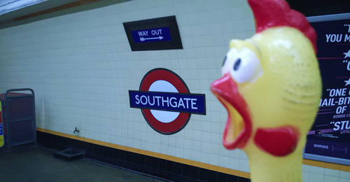
Southgate was such recorded in 1370 and was known as le Southgate in 1608. The hamlet here grew up at the south gate of Enfield Chase and is so named.
The name of Chase Side was considered but the station was opened as Southgate on 13 March 1933.
SOUTH HARROW
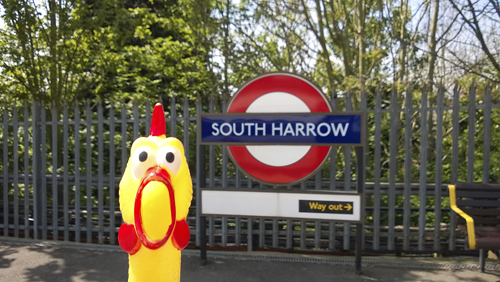
See Harrow-on-the-Hill.
The station was opened as South Harrow on 28 June 1903. It was re-sited on 5 July 1935.
SOUTH KENSINGTON
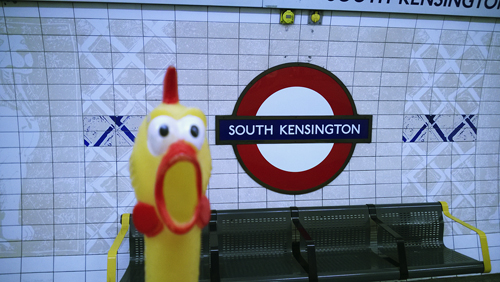
See Kensington (Olympia).
Prior to the station’s opening the name Cromwell Road was considered, but it opened as South Kensington on 24 December 1868, and the Piccadilly Line tube station on 8 January 1907.
SOUTH KENTON
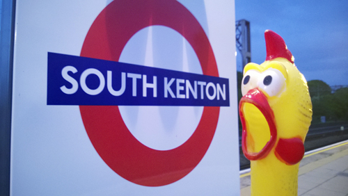
See Kenton.
The station was opened as South Kenton on 3 July 1933.
SOUTH RUISLIP
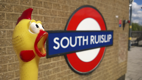
See Ruislip.
The station was opened on 21 November 1948. The station an the adjacent main line was opened by the Great Western & Great Central Joint Committee as Northolt Junction on 1 May 1908. It was re-named South Ruislip & Northolt Junction on 12 September 1932, and become South Ruislip on 30 June 1947.
SOUTHWARK
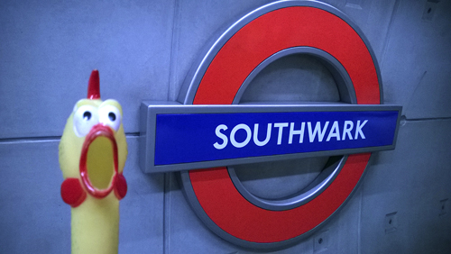
Southwark lies on the south side of the Thames. A stone bridge was built here over the river, probably by the Romans soon after they landed in AD43. Called Suthriganawoerc in the 10th century – meaning ’fort of the men of Surrey’. It was recorded as Sudwerca in the Domesday Book – meaning ’southern defensive work or fort’, from the Old English suth and weorc.
The station opened as Southwark on 20 November 1999.
SOUTH WIMBLEDON
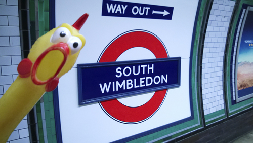
See Wimbledon.
During planning of the station the name of Merton Grove was used, but it was opened as South Wimbledon on 13 September 1926 as it was thought advantageous to the Underground to show the station’s near connection to the somewhat better known Wimbledon.
SOUTH WOODFORD
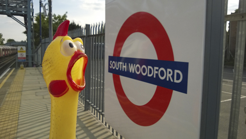
See Woodford.
The station was opened as George Lane on 22 August 1856 by the Eastern Counties Railway. It was re-named South Woodford (George Lane) on 5 July 1937, and South Woodford in 1950. First used by Underground trains on 14 December 1947.
STAMFORD BROOK
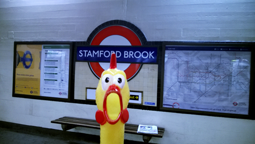
Stamford Brook was recorded in 1650 and this was the name of the stream which divided, near its moth to the west, the parishes of Acton and Chiswick from Fulham, and further north was spanned by Bollo Bridge. The name is derived from a stony ford, once located here, where the main Great West Road crossed the stream.
The station was opened as Stamford Brook on 1 February 1912.
STANMORE
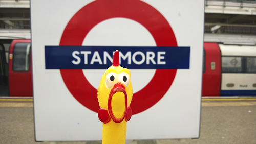
Stanmore was recorded Stanmere in the Domesday Book and is derived from the Old English stan, ’stony’ and mere, ’a pool’. There are outcrops of gravel on the clay soil here and the mere may have been one of the ponds which still exist. Known as Stanmore the Great in 1574 – ’the Great’ distinguished it from Whitchurch or Little Stanmore.
The station was opened as Stanmore on 10 December 1932.
STEPNEY GREEN
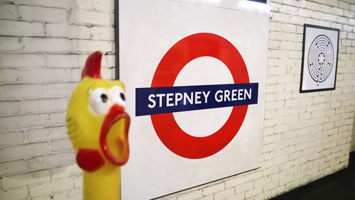
Stepney was recorded as Stybbanhype c. 1000 and as Stibenhede in the Domesday Book and the name is derived from the Saxon personal name Stebbing and the Old English hyo, ’hithe’ or ’landing place’. It has had various spellings in the course of time until recorded as Stepney in 1534. The Green is now a street and was the home of John atte Grene.
The station opened as Stepney Green on 23 June 1902.
STOCKWELL
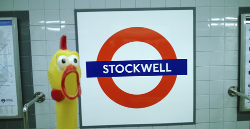
Stockwell was recorded as Stokewell in 1188 and can be interpreted meaning – ’the stream with a footbridge consisting of a tree trunk’, referring to a natural location, which was once nearby. Derived from the Old English – stock (trunk) and wella (stream), Stockwell was a small rural village until the 1860s.
The station was opened as Stockwell on 18 December 1890.
STONEBRIDGE PARK
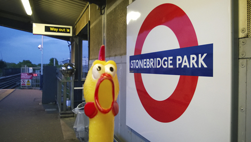
Where the Harrow Road crosses the River Brent stood a stone bridge, first recorded in 1745, that now gives its name to the district. It was recorded in 1875 that there was a cluster of 60 or 80 villas on nearby estate which was given the name Stonebridge Park.
The station was opened as Stonebridge Park by the London & North Western Railway on 15 June 1912 and first used by Underground trains on 16 April 1917.
STRATFORD
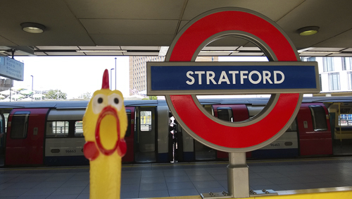
Stratford was recorded in 1177 and is derived from the Old English straet, ’road’ and ford – and means ’the road with a ford’. The ford was where the Roman road to Colchester crossed one of the various branches of the River Lea.
The station was opened as Stratford on 4 December 1946. (The original Eastern Counties Railway station was opened on 10 June 1839.)
SUDBURY HILL
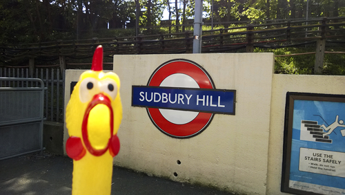
See Sudbury Town. The Hill is the high ground to the north of Sudbury.
The station was opened as Sudbury Hill on 28 June 1903.
SUDBURY TOWN
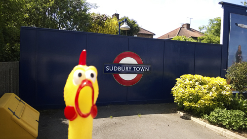
Sudbury Town was recorded as Suthbury in 1282 and the name is derived from south and the Old English burh, ’manor’ – and means ’the south manor’, for it lies to the south-east of Harrow. The Town was built up during the later part of the 19th century.
The station opened as Sudbuty Town on 28 June 1903.
SWISS COTTAGE
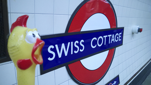
Swiss Cottage takes its name from a famous public house. Here once stood an old toll gate keeper’s cottage, then later a chalet. The Swiss Tavern was built in 1803–04, the name being changed to Swiss Cottage at a later date. The building was reconstructed in 1965. Built to design of a Swiss cottage, it claims to be largest ’pub’ in London. When the railway was extended in 1868 to this part of north-west London, the name was taken for the station, and later for the district.
The Metropolitan Railway station was opened as Swiss Cottage on 13 April 1868 and closed as from 18 August 1940. The replacing tube station opened on 20 November 1939 on the Bakerloo Line Stanmore branch, which then became part of the Jubilee Line on 1 May 1979.
TEMPLE
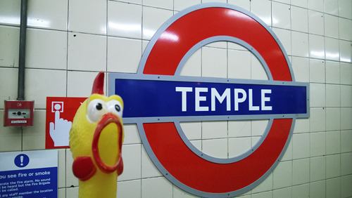
The site of the Law Courts and London’s lawyers stands on land once owned by the Knights Templars, members of a military and religious Order founded in Jerusalem in about 1118. Their task was to protect the holy places and their name derives from the place where they have their quarters, near the site of Solomon’s Temple. The name Temple was also given to their quarters in London and Paris. The Pope dissolved the Order in 1312 and the buildings have been used by the legal profession from the 14th century.
Prior the station’s opening the name Norfolk Street was considered, but it was opened as Temple on 30 May 1870.
THEYDON BOIS
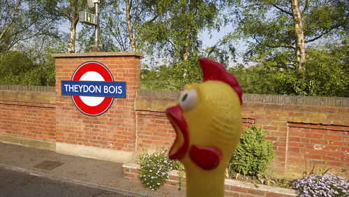
Theydon Bois was known as Thayden de Bosco and held by Hugh de Bossco in 1240, but this family name seems to be of local and not French origin and is derived from the wood in Theydon. Theydon itself means, perhaps, ’a valley where thatch was obtained’.
The station was opened as Theydon by the Great Eastern Railway on 24 April 1865; re-named Theydon Bois on 1 December 1865. First used by Underground trains on 25 September 1949.
TOOTING BEC
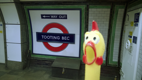
Tooting was recorded as Totinge in 675 and Totinge in the Domesday Book. From c. 1082 it comprised two manors – that of Upper Tooting and Tooting Bec, held in 1086 by the Abbey of St Mary of Bec in Normandy and Tooting Bec is so named. Tooting is derived from a personal name of the Saxon Tota and the Old English place name word ending ing, literally ’the people who lived at’ – Tooting, therefore means – ’the home of Tota’s people’. It is suggested that it should be also interpreted as ’people of the look-out place’ but this is doubtful as there is no hill in Tooting.
The station was opened as Trinity Road on 13 September 1926; re-named Tooting Bec 1 October 1950.
TOOTING BROADWAY
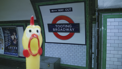
See Tooting Bec. The Broadway, once a large open space, is now a small triangular area near the station.
The station was opened as Tooting Broadway on 13 September 1926.
TOTTENHAM COURT ROAD
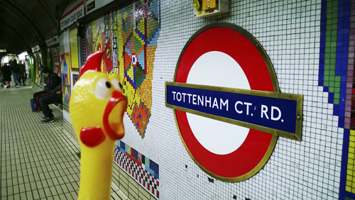
Tottenham Court Road was recorded as Tottenheale c. 1000 and is derived from the personal name of William de Tottenhall’s land and manor which, at the time of the Norman Conquest, belonged to the Deanery of St. Paul’s Cathedral. A later name was Totten Hall which lay at the north-west corner of the present road. There was an ancient court here, much of which was demolished in 1765 to make way for the Euston Road. By the 17th century the place had become a tea garden and public amusement centre. During the early 19th century the road was built up when Bloomsbury to the east was being developed, although much was reconstructed in the early 1900s.
The Central London Railway station was opened as Tottenham Court Road on 30 July 1900; the adjacent Charing Cross Euston & Hampstead Railway station was opened as Oxford Street on 22 June 1907 and re-named Tottenham Court Road on 9 March 1908 (see also Goodge Street).
TOTTENHAM HALE
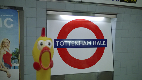
Tottenham was recorded as Toteham in the Domesday Book and the name is derived from the personal name of Saxon Tottaand the Old English ham, ’a homestead’ – ’the home of Totta’ and his family who once lived on a site here. Hale is derived from the Old English healh, ’a corner of land’. It was recorded as le Hale in 1502 and was the home of Richard atte Hale in 1274.
The station was opened as Tottenham Hale on 1 September 1968.
TOTTERIDGE & WHETSTONE
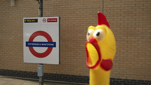
Totteridge was recorded as Taterugg in 1248 and is derived from the personal name of Saxon Totta and a ridge of a hill where he lived – and thus means ’Totta’s ridge’. Whetstone was recorded as Wheston in 1417 and means ’the stone quarry’. Tradition holds that there were once a large stone here on which the soldiers sharpened their steel before the battle of Barnet in 1471.
The station was opened as Totteridge by the Great Northern Railway on 1 April 1872 and was re-named Totteridge & Whetstone on 1 April 1874. It was first used by Underground trains on 14 April 1940.
TOWER HILL
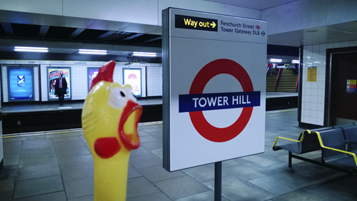
Tower Hill was recorded as Tourhulle in 1343 and takes its name from the nearby Tower of London, notorious in history as the place of public execution of the traitors taken here from the Tower. 125 people are known to have died here between 1381–1745 and a slab nearby Trinity Square Gardens marks the scaffold site. At the foot of Tower Hill stands a new kiosk to that which from 1870–96 was the entrance to London’s first tube tunnel under the Thames.
Prior to the station’s opening the name of Seething Lane was considered, but it opened as Mark Lane on 6 October 1884 and re-named Tower Hill on 1 September 1946. It was re-sited on 5 February 1967 on the place where a station called Tower of London had been in use from 25 September 1882 to 12 October 1884.
TUFNELL PARK
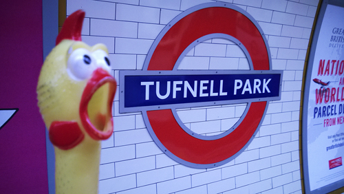
Tufnell Park was named in honour of William Tufnell who held the manor of Barnsbury in 1753. Tufnell Park Road runs to the east of the station, but there is no park in the area.
The station was opened as Tufnell Park on 22 June 1907.
TURNHAM GREEN
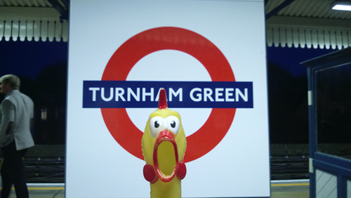
Turnham Green was recorded as Turneham in c. 1229 and was once a hamlet on the Great West Road. The name is derived from the Old English turn, ’circular’ and hamm, ’a water meadow’ – and means literally ’the bend at the river’ referring to the nearby River Thames. The Green was first recorded in 1396 where Christ Church now stands. Incidentally, it was here, during the Civil War, that King Charles’s troops were checked by the rebel Parliament’s Trained Bands of Londoners.
The station, which would more accurately be named Bedford Park, was opened as Turnham Green by the London & South Western Railway on 1 January 1869 and first used by Underground trains on 1 June 1877. The rebuilt station was opened on 3 December 1911.
TURNPIKE LANE
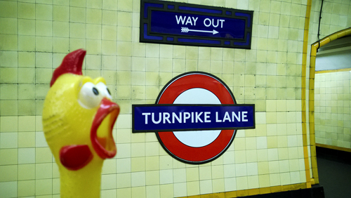
Turnpike Lane once belonged to the ’Stamford Hill and Green Lanes Turnpike Trust’ and a turnpike gate was erected in 1767 a the Hornsey Lane (now Tottenham Lane) end of the road; it was removed in the 1870s. A ’Turnpike’ was a gate set across a road to stop those who were liable to pay a toll. Originally this was a frame consisting of two crossbars armed with pikes and turning on a post – hence the name.
The names Duckets Green and Harringay were considered but the station was opened as Turnpike Lane on 19 September 1932.