PATRICIA URQUIOLA VANGITSEE KATSEEN

TANSKALAINEN GEORG JENSEN -tuotemerkki tunnetaan yhteistyöstään useiden kansainvälisesti tunnettujen muotoilijoiden kanssa. Nykyään Georg Jensen on osa Royal Scandinavian Groupia, jonka muita tuotemerkkejä ovat mm. Bing & Grøndahl, Holmegaard Glasværk, Orrefors Kosta Boda, Boda Nova ja Höganäs Keramik.

Georg Jensenille hopea- ja terästuotteita suunnittelleiden muotoilijoiden lista on vaikuttava. Heihin kuuluvat monen muun ohella ikoniset supertähdet kuten Arne Jacobsen, Verner Panton, Finn Juhl, Sigvard Bernadotte ja Alfredo Häberli.

Yhtiön tuorein rekrytointi on maineikas Milanossa asuva syntyperältään espanjalainen arkkitehti ja muotoilija Patricia Urquiola, 55.

2
Linjakas kynttelikkö on yksinkertainen mutta täynnä symboliikkaa.

URQUIOLAN NIMEÄ kantava tuoteperhe (Urkiola Collection) sisältää tyylikkäitä ja monikäyttöisiä kattauselementtejä kuten tarjottimen, kynttelikköjä, eri kokoisia kulhoja ja kaatimia.

Tunnusomaista sarjan elementeille on sileän kiiltävän pinnan kanssa keskusteleva elegantti pystyraidoitus, jonka voi nähdä kunnianosoituksena myös Georg Jensenin Bernadotte-aterimille. Materiaalina on käytetty ruostumatonta terästä, jota on perusvärin lisäksi saatavilla ruusukullan värisellä fysikaalisella kaasufaasi- eli PVD-pinnoitteella käsiteltynä.

Itse asiassa on vähättelevää lokeroida tuotteet kattauselementeiksi, sillä ne taipuvat yhtä lailla niin kotibaariin, ruokapöytään, olohuoneeseen, kirjastoon kuin vaikkapa moderniin toimistoon tai kylpyhuoneeseen.

Lähempänä todellista kokemuksellisuutta olevan mielikuvan tuoteperheestä saa sanomalla, että Patricia Urquiolan modernilla tavalla rosoinen muotokieli vangitsee välittömästi katseen riippumatta siitä, millaiseen tilaan tuote on sijoitettu.

Kokoelmassa käytetty juhlava pystyraidoitus vie ajatukset Sigvard Bernadotten Georg Jensenille suunnittelemiin aterimiin. Ruusukullan värinen PVD-pinnoite luo kontrastia ja lisää kattaukseen elävyyttä.
Kokoelmassa käytetty juhlava pystyraidoitus vie ajatukset Sigvard Bernadotten Georg Jensenille suunnittelemiin aterimiin. Ruusukullan värinen PVD-pinnoite luo kontrastia ja lisää kattauksen elävyyttä.

MONIKÄYTTÖISYYDEN LISÄKSI minut hurmasi sarjan esittelytilaisuudessa eräänlainen onnistunut painopistefilosofia, joka on täysin oma käsitteeni. Jotenkin miellän hyvän designin voimaksi sen kyvykkyyden hallita tunnelmaa ja tilaa.

Urquiola tekee sisustajalle suorastaan naurettavan helpoksi siirtää huoneen painopistettä haluamaansa suuntaan ja luoda modernin designin avulla erilaisia tunnetiloja. Kun ajatellaan esimerkiksi isoa kaadinta, jota voi käyttää paitsi sellaisenaan myös kukkamaljakkona tai viininjäähdyttimenä, niin siinä on upea esimerkki esineestä, jonka käyttötarkoitusta varioimalla myös esineen ympärillä tunnekehä saa uutta voimaa.

Tuotetiedustelut ja jälleenmyyjät: www.berrys.fi

Share This:

UUTTA ILMETTÄ LOMALLE

Kerrankin päätin panostaa kunnolla uuteen lomalookiin. Ensin kasvojen väsähtänyttä ilmettä kohennettiin, sitten laitettiin kuntoon hiukset, ripset ja kulmat. Ero entiseen on ällistyttävä!

LOMAN LÄHESTYESSÄ mielessä pyörii useimmiten matkavalmistelut ja odotukset itse kohteelta. Olen lukuisia kertoja huomannut, että matkakuumeen noustessa arkinen hyvinvointi jää helposti taka-alalle. Ei tule ajatelleeksi sitä, kuinka paljon mukavampi lomalle onkaan lähteä, kun peilikuvassa näkyy muutakin kuin työn uuvuttamat uurteiset kasvot.

Olin ottanut jo kuukausia sitten tavoitteeksi, että tänä kesänä aion lähteä lomamatkalle virkeämpänä ja iloisemmalla mielellä kuin koskaan aikaisemmin. Päädyin siihen tulokseen, että paras mittari päämäärälle on eteisen peili – siihen tulisi heijastua onnellisen ja hyvinvoivan miehen kuva.

Vaikka olen pyrkinyt huolehtimaan ihostani keskimääräistä paremmin, kasvoilta kuvastuvat ikävuosien lisäksi freelanceriuden mukanaan tuoma stressi ja työn jäljet.

VIIMEISEN VUODEN AIKANA olen useissa yhteyksissä päässyt keskustelemaan esteettisten pistoshoitojen ammattilaisten kanssa ulkonäkötrendeistä ja siitä, mitä minun, 44-vuotiaan miehen, kannattaisi tehdä ulkoisen ilmeeni kohentamiseksi. Näiden keskustelujen pohjalta olen vakuuttunut siitä, että niinkin yksinkertainen asia kuin ihon hyvinvointi tekee myös mielen kirkkaaksi ja nostaa positiiviset ajatukset pintaan.

Sanoista tekoihin ja kasvot neulan alle. Otsan ja silmäkulmien rypyt tasoittuivat nopeasti kivuttomalla botuliinihoidolla – iso askel kohti tavoitetta. Seuraavaksi vuorossa oli ilmeen kohottaminen poskipäihin injektoitavalla täyteaineella.

Yksi millilitra laadukasta täyteainetta molempiin poskipäihin veisi kuulemani mukaan hetkessä kymmenen vuotta kasvoilta pois.

Vai niin, ajattelin tuolloin ja epäilin vahvasti, että nyt kyllä hoitojen tekijöillä sekoittuvat optimismi ja utopia. Yksi vaivainen millilitra kun tuntui maallikosta mitättömältä määrältä, jota tuskin edes huomaisi. Mutta yrittänyttä ei laiteta, siispä filleriä ihon alle.

LOPPUTULOSTA KATSELLESSA en voinut kuin hämmästellä silmät ymmyrkäisinä kuinka väärässä olinkaan. Kuten kuvista näkyy, ero entiseen on tyrmäävä!

Vielä pisteeksi i:n päälle kävin viimeistelemässä muuttumisleikin juuri avatussa parturi-kampaamo Studio Rasmussenilla, jossa Pia Rasmussen laittoi paitsi hiukset myös kulmat ja ripset lomakuntoon. Katse kirkastui silmissä.

Kevyt botuliinikäsittely silmäkulmiin sekä otsan alueelle ja runsaasti ristikkäislinkitettyjä hyaluronihappomolekyylejä sisältävä täyteaine poskipäihin sai kasvot hehkumaan. Uusi hiustyyli ja kulmakarvojen korostus viimeistelivät lomalookin.

Mikäli en itse olisi tätä muutosta kokenut, en ikinä uskoisi, että näiden ennen ja jälkeen -kuvien välillä on kulunut ainoastaan kaksi vuorokautta.

TAVOITE SAAVUTETTU, nyt loma voi toden teolla alkaa. Sitä ennen kuitenkin, hyvien kokemusten vakuuttamana, haluan varauksetta suositella kaikille lukijoilleni näitä arjen sankareita, etenkin Pia Rasmussenia Studio Rasmussenilta. Heidän yhteystietonsa löytyvät tämän blogikirjoituksen alalaidasta.

Studio Rasmussen

Pia Rasmussen

Eerikinkatu 8

00100  HELSINKI

Puh. 0400 128 485

www.facebook.com/p.rasmussen04

http://www.studiorasmussen.fi


Share This:

LONDON TUBE STATIONS 7, U-W

”Dear passengers, my name is Francis. I am your travel guide to the roots of the London Underground and to the origins of the names of all stations currently in use. This is the final stage of our incredible journey, after which we have seen all 270 Underground stations! Here are the stations from Upminster to Woodside Park.

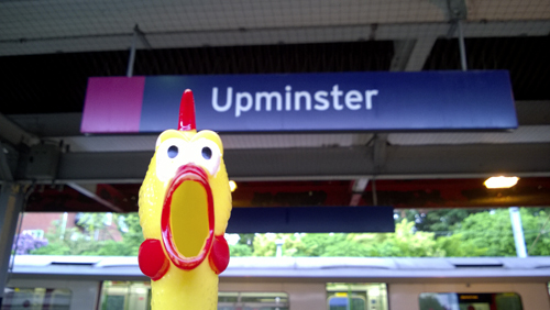
UPMINSTER

Upminster

Upminster was recorded as Upmynstre in 1062 and the name is derived from mynster, which refers to a church served by several clergy, rather than to a monastery. The prefix up means ’higher ground’, although the town does not rise much above sixty feet. Upminster means – ’the church on high land’. The name of this area was originally Chafford, a corruption of St Chad’s Ford and tradition asks us to believe that the brothers St Chad and St Cedd used it as one of their preaching centres when brought Christianity to Essex in c. 670.

The station was opened as Upminster by the London, Tilbury & Southend Railway on 1 May 1885 and first used by Underground trains on 2 June 1902.

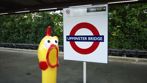
UPMINSTER BRIDGE

Upminster-Bridge

See Upminster. To the right of the station, under the railway bridge and near the ’Bridge House’ pub, there is a small iron road bridge, marked Upminster Bridge. Tradition has it that the Romans built a ford here over the River Ingrebourne during Caesar’s invasion of England. It seems that in c. 1300 a wooden bridge was built to replace the ford. The present bridge was erected by Essex County Council in 1891.

The station was opened as Upminster Bridge on 17 December 1934.

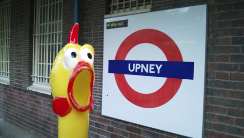
UPNEY

Upney

Upney simply means the upper-stream and this local natural feature gives the name to this district. Derived from the Old English upp (higher up) and eg (stream).

The station was opened as Upney on 12 September 1932.

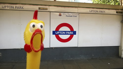
UPTON PARK

Upton-Park

Upton is derived from up and the Old English tun, ’a farm’ – and means ’the farm, or homestead on higher ground’ once in a park, and the district is so named.

The station was opened as Upton Park by the London, Tilbury & Southend Railway in 1877 and first used by Underground trains on 2 June 1902.

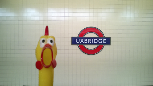
UXBRIDGE

Uxbridge

Uxbridge was recorded as Oxebruge c. 1145 and the name is derived from a 7th century tribe, the Wixan, who settled here, and in the course of time this has been abbreviated to Ux. The bridge is an ancient one over the river Colne and has variant spellings until recorded as Uxbridge in 1398.

The original station was opened as Uxbridge on 4 July 1904, and was replaced by the present re-sited station on 4 December 1938.

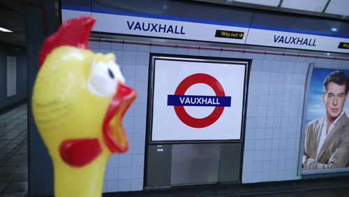
VAUXHALL

Vauxhall

Vauxhall is named from the Norman Falkes de Breuté who obtained the manor of Lambeth by his marriage to the heiress Margaret de Riparus (or Redvers) in c. 1220, the manor being granted to him in 1223. Recorded as Faukeshale in 1279, corrupted to Fox Hall then eventually to Vauxhall.

The Underground station was opened as Vauxhall on 23 July 1971.

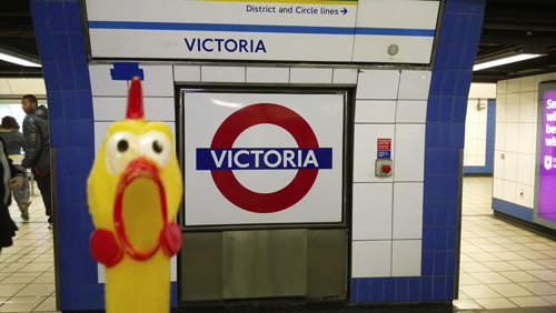
VICTORIA

Victoria

Like many other places the station was named in honour of Queen Victoria. The main-line station, opened on 1 October 1860, stands on piles over the basin of the former Grosvenor Canal.

The Underground station was opened as Victoria on 24 December 1868.

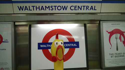
WALTHAMSTOW CENTRAL

Walthamstow-Central

Walthamstow Central was recorded as Wilcumestowe c. 1075 and the name may be derived from the Old English wilcume, ’welcome’ and stow, ’a holy place’ – ’the holy place with a welcome’. Alternatively the name may derive from a religious place once founded here by a woman named Wilcume. It was recorded as Walthanstowe in 1446.

The original station was opened as Walthamstow (Hoe Street) by the Great Eastern Railway on 26 April 1870; it was re-named Walthamstow Central on 6 May 1968. Underground trains ran from 1 September 1968.

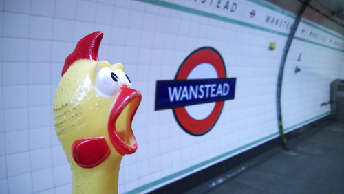
WANSTEAD

Wanstead

Wanstead was recorded as Waenstede in 1066 and the name is derived from the Old English waen, ’waggon’ and stede, ’place’. It seems that there was once a ford here, where waggons crossed a stream, and ’stede’ usually meant a holy place – therefore Wanstead means ’to the holy place, near the ford crossed by waggons’.

The station was opened as Wanstead on 14 December 1947.

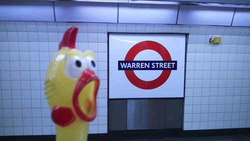
WARREN STREET

Warren-Street

The estate of this area was owned by Charles Fitzrow, created Baron Southampton in 1780, who married Anne, the daughter of Sir Peter Warren. When the street was named in 1799 it was called Warren Street in his honour.

The station was opened as Euston Road on 22 June 1907 and was re-named Warren Street on 7 June 1908.

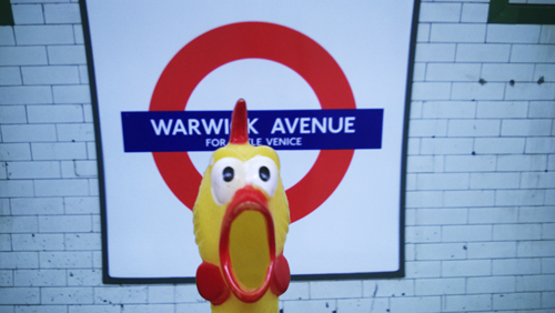
WARWICK AVENUE

Warrick-Avenue

Many of the streets in the old manor of Paddington are connected with families who leased land from the Bishop of London. The original lessee was Sir John Frederick of Burwood in Surrey. His great-grandson married Jane Warwick of Warwick Hall in Cumberland in 1778 and the street is named in her honour.

Prior to the station’s opening the name was planned to have been Warrington Crescent, but it was opened as Warwick Avenue on 31 January 1915.

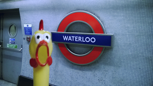
WATERLOO

Waterloo

Waterloo was named in commemoration of the Battle of Waterloo (1815). The name was also given to the new bridge over the River Thames (originally called Strand Bridge) which was opened by the Prince Regent on 18 June 1817, the second anniversary of the Battle. The name was adopted for the main-line station opened on 11 July 1848, and later for the locality.

The Waterloo & City Line was built and run by the London & South Western Railway and its station was opened as Waterloo on 8 August 1898. Ownership of the line and stations was transferred to London Underground on 5 April 1994. The Bakerloo Line station was opened as Waterloo on 10 March 1906, followed by the Northern Line station on 13 August 1926.

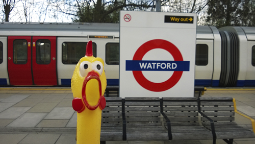
WATFORD

Watford

Watford was recorded in 944 and the name is derived from the Old English waed, ’place for wading’ or wad, ’hunting’ – and means ’ford which is used for hunters’, from a once nearby natural feature.

The station was opened as Watford on 2 November 1925.

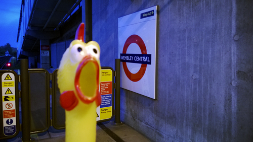
WEMBLEY CENTRAL

Wembley-Central

Wembley Central was recorded as Wemba lea in 825 and the name is derived from the personal name Wemba and the Old English leah, ’forest clearing’ – and means ’the clearing where Wemba lived’. This name may be a nickname or could be taken from Wemba, the name of a Gothic King. It has had various spellings until recorded as Wembley in 1535.

A station called Sudbury was opened by the London & Birmingham Railway in 1842. It was re-named Sudbury & Wembley on 1 May 1882 and Wembley for Sudbury on 16 April 1917; re-named Wembley Central on 5 July 1948.

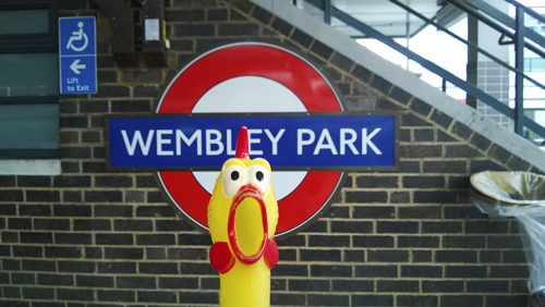
WEMBLEY PARK

Wembley-Park

See Wembley Central. The Wembley stadium, exhibition and entertainment complex occupies the area of the original park.

The station was opened as Wembley Park on 12 May 1894.

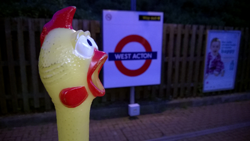
WEST ACTON

West-Acton

See Acton Town.

The station was opened as West Acton on 5 November 1923.

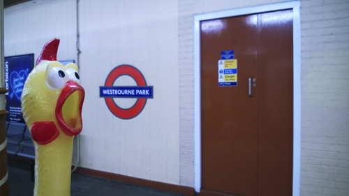
WESTBOURNE PARK

Westbourne-Park

Westbourne Park was recorded as Westburn in 1222 and is derived from the Old English westan and burnam, ’place’ – means ’the place west of the stream’. Paddington was the sister village on the east bank. The road here was an ancient lane winding through the old Westbourne Farm. The Green was recorded in 1680 hence the Park, now a road.

The station was opened as Westbourne Park on 1 February 1866.

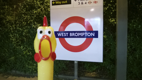
WEST BROMPTON

West-Brompton

West Brompton signifies Broom Town with suggestions of a wide common – and means ’the common with the broom trees, near a town’.

Prior to the station’s opening the name Richmond Road was planned, reflecting the name of this part of Old Brompton Road which lasted into the 1920s. It was opened as West Brompton on 12 April 1869.

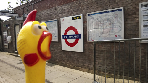
WEST FINCHLEY

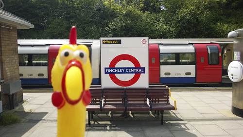
West-Finchley

See Finchley Central.

The station was opened as West Finchley by the London & North Eastern Railway on 1 March 1933 and first used by Underground trains on 14 April 1940.

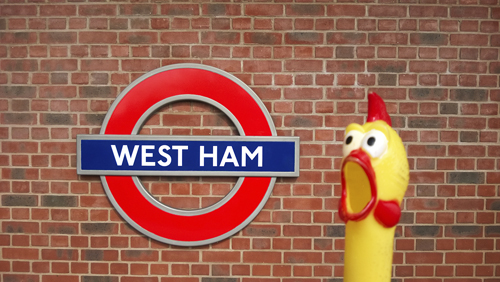
WEST HAM

West-Ham

West Ham was recorded as Hamme in 958 which signifies that this and East Ham were then only one geographical location and it was not until 1186 that the name Westhamma was recorded. The name is derived from the Old English hamm, ’a water meadow’ – referring to the low-lying riverside meadow near the bend of the Thames. (See also East Ham.)

The station was opened as West Ham by the London, Tilbury & Southend Railway on 1 February 1901 and was first used by Undergound trains on 2 June 1902.

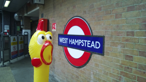
WEST HAMPSTEAD

West-Hampstead

See Hampstead.

The station was opened as West Hampstead on 30 June 1879.

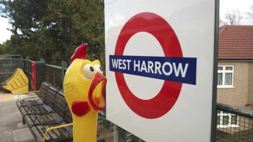
WEST HARROW

West-Harrow

See Harrow-on-the-Hill.

The station was opened as West Harrow on 17 November 1913.

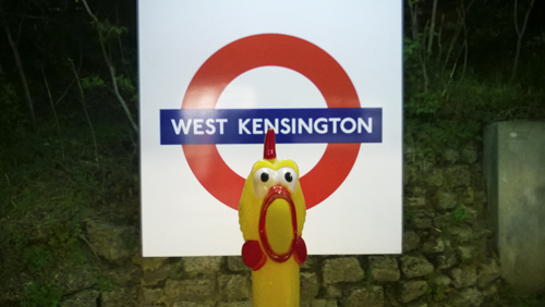
WEST KENSINGTON

West-Kensington

See Kensington (Olympia).

The station was opened as North End (Fulham) on 9 September 1874; re-named West Kensington 1 March 1877.

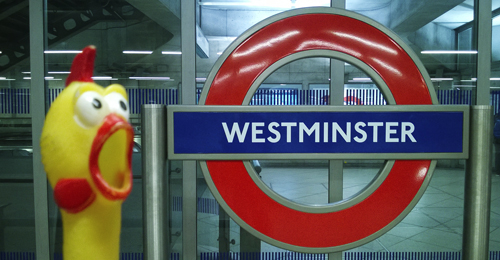
WESTMINSTER

Westminster

By tradition the site of the Abbey was first known as Torneia (785) and means ’thorn island’, being once a low-lying islet regularly cut off from the mainland at high tide. Recorded as Westminster in 785, the name is derived from west and the Old English mynster, ’monastery’ or ’church’, the west because it lies to the west of London. Westminster Abbey began as a small church attached to a Benedictine monastery, was rebuilt in the eleventh century and completed in 1388. The village of Westminster (a City since 1540) was joined up to London in the 18th century.

The station was opened as Westminster Bridge on 24 December 1868; re-named Westminster in 1907.

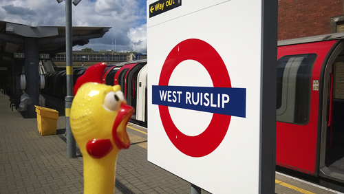
WEST RUISLIP

West-Ruislip

See Ruislip.

The adjacent main line station was opened by the Great Western & Great Central Joint Committee on 2 April 1906 as Ruislip & Ickenham. It was re-named West Ruislip on 30 June 1947. In preparation for the opening of the Underground station, the committee of the New Works Programme 1935/40 suggested naming it Ickenham Green. However, delayed by the Second World War, the Underground station was opened as West Ruislip on 21 November 1948.

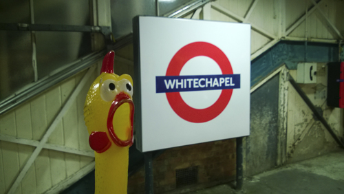
WHITECHAPEL

Whitechapel

Whitechapel takes its name from the white stone chapel of St Mary Matfelon, first built in 1329, then rebuilt three times, until bombed in 1940 and finally demolished in 1952. Today there is no trace of the church that gave its name to this district.

The station was opened as Whitechapel on 10 April 1876; first used by Underground trains on 1 October 1884.

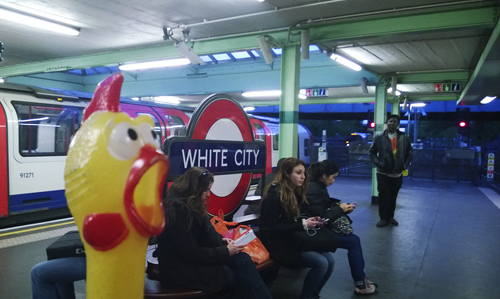
WHITE CITY

White-City

The sports stadium was opened in 1908 to house part of the Franco-British Exhibition. The strikingly white finish of the buildings, and the exhibits in the main hall (all of which were white), earned the stadium its name.

The Hammersmith & City Line station was opened on 1 May 1908, and the Central Line station on 14 May 1908, both as Wood Lane. The Central Line station was re-sited and both re-named White City 23 November 1947. The Hammersmith & City Line station was closed from 25 October 1959; since 1 November 1914 it had been used only on special occasions.

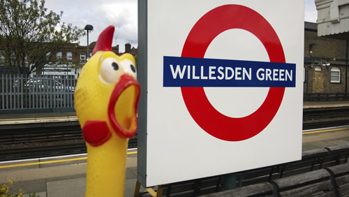
WILLESDEN GREEN

Willesden-Green

Willesden Green was recorded as Willesdone Grene in 1254 and was formerly a distinct hamlet. Willesden itself was recorded as Willesdune in 939 and is derived from the Old English wiell, ’spring’ and dun, ’hill’, and means – ’hill of the spring’, referring to a once nearby natural location. Willesden was the name adopted c. 1840 by the London & Birmingham Railway from the earlier spelling of Wilsdon.

The station was opened as Willesden Green on 24 November 1879.

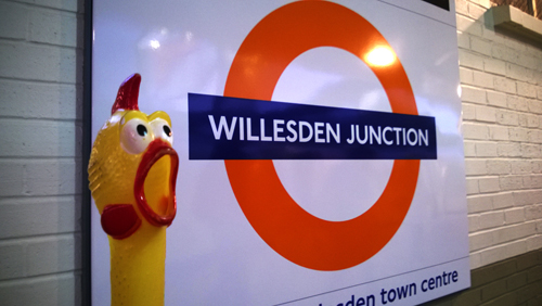
WILLESDEN JUNCTION

Willesden-Junction

See Willesden Green. The name has its origin in the railway junction at this point.

The station was opened as Willesden Junction by the London & North West Railway on 1 September 1866 and was first used by Underground trains on 10 May 1915.

WIMBLEDON

Wimbledon-2

Wimbledon was recorded as Wunemannedunne c. 950 and is derived from the personal name of the Saxon Winebeald and down, ’a hill’ – means ’the hill where Winebeald lived’, with his family. It has had various spellings in the course of time until recorded as Wimbledon in 1211.

The original London & Southampton Railway station was opened as Wimbledon on 21 May 1838. The platforms for terminating District Line trains were opened on 3 June 1889.

WIMBLEDON PARK

Wimbledon-Park

See Wimbledon. The Park is to the west of the station.

The station was opened as Wimbledon Park by the London & South Western Railway for the use of their own and District Railway trains on 3 June 1889.

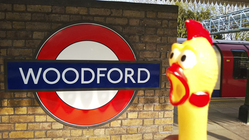
WOODFORD

Woodford

As the name suggests, means ’the ford by a wood’, over the River Roding which runs through the district.

The station was opened as Woodford by the Eastern Counties Railway on 22 August 1856 and first used by Underground trains on 14 December 1947.

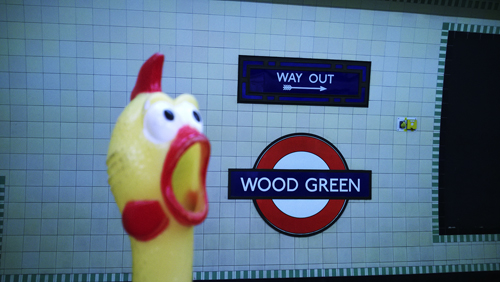
WOOD GREEN

Wood-Green

Wood Green was recorded as Wodegrene in 1502 and was once a seperate hamlet on the edge of Enfield Chase. As the name suggests it means ’the wood by the green’.

Prior to the station’s opening the name Lordship Lane was proposed, but it opened as Wood Green on 19 September 1932.

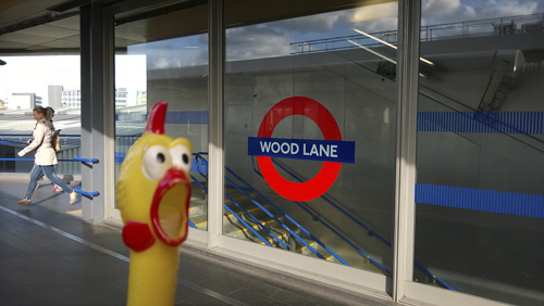
WOOD LANE

Wood-Lane

There have been three stations in the area whit this name, the latest being a new station on the Hammersmith & City Line. The other two were a station on the same line situated across the road from the present one, closer to Shepherd’s Bush, opened 1 May 1908 and closed 25 October 1959 (by which time it had been re-named White City) and a terminal station on the Central London Railway opened 14 May 1908 and closed 23 November 1947 (to be replaced by the Central Line station named White City further to the north). The name Wood Lane came into use here in the first few decades of the 19th century and reflects the fact that this was once situated in London’s countryside. It is one of nine Wood Lanes in Greater London, but with the presence of the BBC Television Centre and the new Underground station, this is undoubtedly the best known of them.

The present Wood Lane station was opened on 13 October 2008.

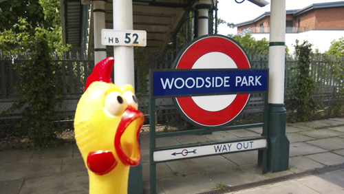
WOODSIDE PARK

Woodside-Park

Woodside Park was recorded as Fyncheley Wode in 1468 and was part of the great Middlesex woodland area. It was named Woodside in 1686 – being at the side of the wood.

The station was opened as Torrington Park, Woodside by the Great Northern Railway on 1 April 1872. It was re-named Woodside Park on 1 May 1882 and was first used by Underground trains on 14 April 1940.

Share This:

LONDON TUBE STATIONS 6, S-T

”Hi, my name is Francis. I am your travel guide to the roots of the London Underground and to the origins of the names of all stations currently in use. This is the sixth and penultimate stage of our journey. Welcome aboard again! Here are the stations from Saint James’s Park to Turnpike Lane.”

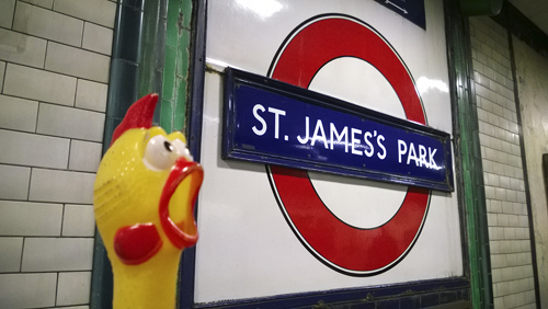
ST JAMES’S PARK

St-James-Park-2

St James’s Park lies on the site of an ancient hospital dedicated to St James the Less, from which it takes its name. It was part of a swamp until, on the orders of Henry VIII in 1532, it was drained to become a bowling green, tilt yard, and breeding ground for deer. John Nash re-designed the park in 1827–29.

The station was opened as St James’s Park on 24 December 1868.

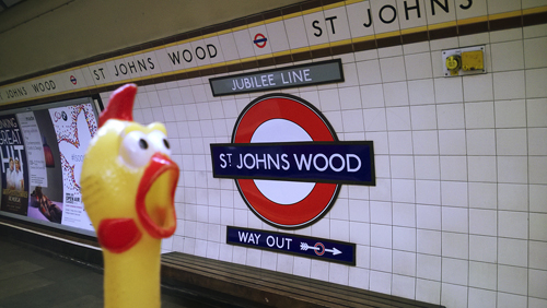
ST JOHN’S WOOD

St-Johns-Wood

St John’s Wood was recorded as Sci Johannis in 1924, and the wood was granted to the Knights Templars of St John of Jerusalem but later passed into the possession of the Hospitallers of the Order. This fashionable district of north-west London was first recorded as (Grete) St John’s Wood in 1558.

The Metropolitan Railway station opened as St John’s Wood Road on 13 April 1868; re-named St John’s Wood on 1 April 1925; and further re-named Lords on 11 June 1939. It was replaced together with Malrborough Road by a new St John’s Wood station on the Bakerloo Line which opened on 20 November 1939. The new station was  sited between the two closed stations and was originally planned to be named Acacia Road.

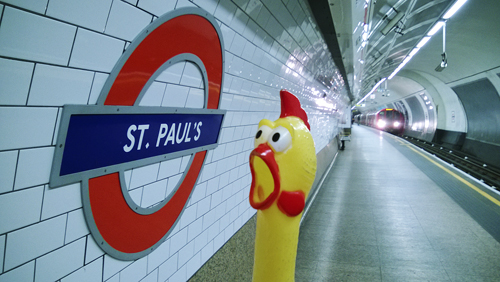
ST PAUL’S

St-Pauls

St Paul’s takes its name from the nearby Cathedral of the Diocese of London. The tradition that a Roman temple once stood here has no evidence to support it. There was, however, a Christian Church built here in the 7th century which was destroyed by fire in 1087. This is the third Cathedral built on the present site, and was planned by Sir Christopher Wren after the previous on had been destroyed in the Great Fire of London in 1666. Construction commenced in 1675 and was completed some 27 years later.

The station was originally to be named Newgate Street, but opened as Post Office on 30 July 1900, the General Post Office headquarters being closed by. The station was re-named St Paul’s on 1 February 1937.

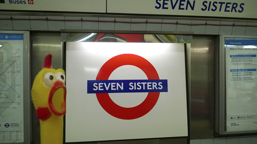
SEVEN SISTERS

Seven-Sisters

Seven Sisters took its name from seven elm trees which stood near Page Green, where the Seven Sisters Road (built 1831–33) joint the old Ermine Street. They were marked as 7 Sesters in 1754 then Seven Sisters in 1805.

The station was opened as Seven Sisters on 1 September 1968.

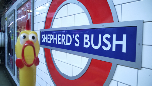
SHEPHERD’S BUSH

Shepherds-Bush

Shepherd’s Bush either takes its name from the shepherds who used this place as a meadow or more likely from a personal name of someone so called. It was recorded as Sheppards Bush Green in 30 July 1900.

The Central London Railway Shepherd’s Bush Station was opened 30 July 1900.

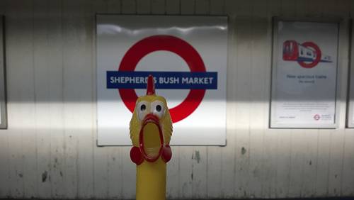
SHEPHERD’S BUSH MARKET

Shepherds-Bush-Market

See Shepherd’s Bush. The market is on Underground-owned land and opened for business in 1914 when the station was re-sited on the north side of the Uxbridge Road.

The original station opened as Shepherd’s Bush on 13 June 1864, being re-named on 12 October 2008.

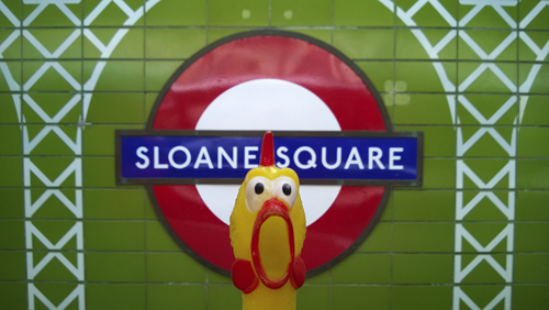
SLOANE SQUARE

Sloane-Square-2

Like many other street names in this part of London, the square is named in honour of Sir Hans Sloane (1660–1753) the physician and botanist who purchased the manor of Chelsea from the Cheyne family in 1712. In 1749 his great collection of books and curiosities formed the basis of the British Museum. Over the station, through a square iron conduit 15 feet above the platforms, passes the River Westbourne which eventually reaches the River Thames by Chelsea Bridge.

The station was opened as Sloane Square on 24 December 1868. It was severely damaged in an air raid on 12 November 1940; rebuilding after the Second World War was completed on 3 May 1951.

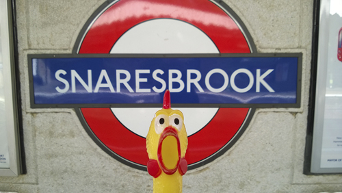
SNARESBROOK

Snaresbrook

Snaresbrook was so named in 1599 and takes its name from a nearby natural landmark. The name is derived from the Old English shear, ’swift’ and brook – ’the swift flowing brook’.

The station was built as Snaresbrook & Wanstead by the Eastern Counties Railway and opened on 22 August 1856. First used by Underground trains and re-named Snaresbrook on 14 December 1947.

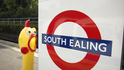
SOUTH EALING

South-Ealing

See Ealing Broadway.

The station was opened as South Ealing on 1 May 1883.

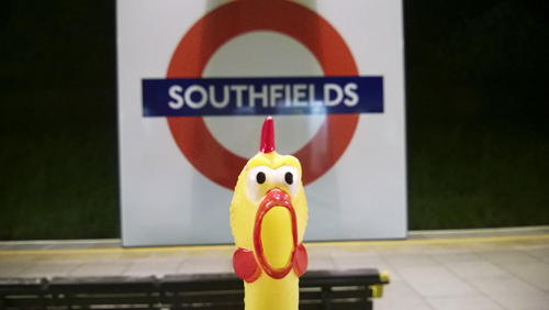
SOUTHFIELDS

Southfiels

Southfields was recorded as Sutfield in 1247 and takes its name from a great field where farm produce was once sold.

The station opened as Southfields on 3 June 1889.

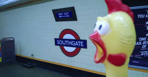
SOUTHGATE

Southgate

Southgate was such recorded in 1370 and was known as le Southgate in 1608. The hamlet here grew up at the south gate of Enfield Chase and is so named.

The name of Chase Side was considered but the station was opened as Southgate on 13 March 1933.

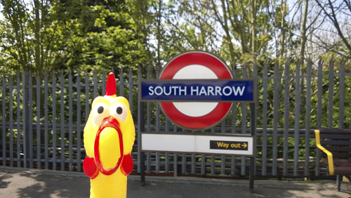
SOUTH HARROW

South-Harrow

See Harrow-on-the-Hill.

The station was opened as South Harrow on 28 June 1903. It was re-sited on 5 July 1935.

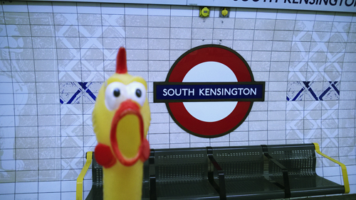
SOUTH KENSINGTON

South-Kensington

See Kensington (Olympia).

Prior to the station’s opening the name Cromwell Road was considered, but it opened as South Kensington on 24 December 1868, and the Piccadilly Line tube station on 8 January 1907.

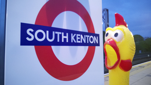
SOUTH KENTON

South-Kenton

See Kenton.

The station was opened as South Kenton on 3 July 1933.

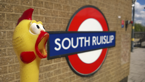
SOUTH RUISLIP

South-Ruislip

See Ruislip.

The station was opened on 21 November 1948. The station an the adjacent main line was opened by the Great Western & Great Central Joint Committee as Northolt Junction on 1 May 1908. It was re-named South Ruislip & Northolt Junction on 12 September 1932, and become South Ruislip on 30 June 1947.

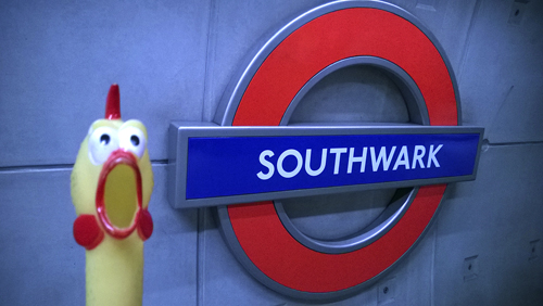
SOUTHWARK

Southwark

Southwark lies on the south side of the Thames. A stone bridge was built here over the river, probably by the Romans soon after they landed in AD43. Called Suthriganawoerc in the 10th century – meaning ’fort of the men of Surrey’. It was recorded as Sudwerca in the Domesday Book – meaning ’southern defensive work or fort’, from the Old English suth and weorc.

The station opened as Southwark on 20 November 1999.

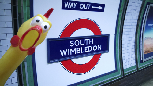
SOUTH WIMBLEDON

South-Wimbledon

See Wimbledon.

During planning of the station the name of Merton Grove was used, but it was opened as South Wimbledon on 13 September 1926 as it was thought advantageous to the Underground to show the station’s near connection to the somewhat better known Wimbledon.

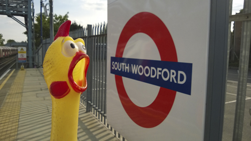
SOUTH WOODFORD

South-Woodford

See Woodford.

The station was opened as George Lane on 22 August 1856 by the Eastern Counties Railway. It was re-named South Woodford (George Lane) on 5 July 1937, and South Woodford in 1950. First used by Underground trains on 14 December 1947.

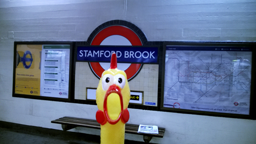
STAMFORD BROOK

Stamford-Brook

Stamford Brook was recorded in 1650 and this was the name of the stream which divided, near its moth to the west, the parishes of Acton and Chiswick from Fulham, and further north was spanned by Bollo Bridge. The name is derived from a stony ford, once located here, where the main Great West Road crossed the stream.

The station was opened as Stamford Brook on 1 February 1912.

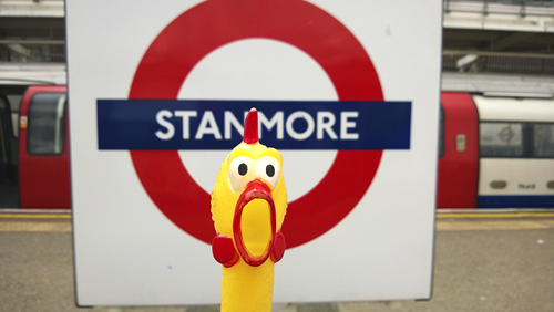
STANMORE

Stanmore

Stanmore was recorded Stanmere in the Domesday Book and is derived from the Old English stan, ’stony’ and mere, ’a pool’. There are outcrops of gravel on the clay soil here and the mere may have been one of the ponds which still exist. Known as Stanmore the Great in 1574 – ’the Great’ distinguished it from Whitchurch or Little Stanmore.

The station was opened as Stanmore on 10 December 1932.

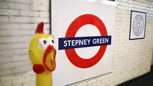
STEPNEY GREEN

Stepney-Green

Stepney was recorded as Stybbanhype c. 1000 and as Stibenhede in the Domesday Book and the name is derived from the Saxon personal name Stebbing and the Old English hyo, ’hithe’ or ’landing place’. It has had various spellings in the course of time until recorded as Stepney in 1534. The Green is now a street and was the home of John atte Grene.

The station opened as Stepney Green on 23 June 1902.

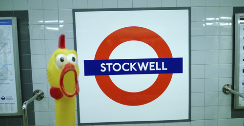
STOCKWELL

Stockwell

Stockwell was recorded as Stokewell in 1188 and can be interpreted meaning – ’the stream with a footbridge consisting of a tree trunk’, referring to a natural location, which was once nearby. Derived from the Old English – stock (trunk) and wella (stream), Stockwell was a small rural village until the 1860s.

The station was opened as Stockwell on 18 December 1890.

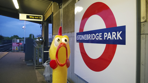
STONEBRIDGE PARK

Stonebridge-Park

Where the Harrow Road crosses the River Brent stood a stone bridge, first recorded in 1745, that now gives its name to the district. It was recorded in 1875 that there was a cluster of 60 or 80 villas on nearby estate which was given the name Stonebridge Park.

The station was opened as Stonebridge Park by the London & North Western Railway on 15 June 1912 and first used by Underground trains on 16 April 1917.

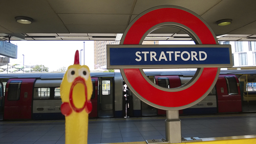
STRATFORD

Stratford

Stratford was recorded in 1177 and is derived from the Old English straet, ’road’ and ford – and means ’the road with a ford’. The ford was where the Roman road to Colchester crossed one of the various branches of the River Lea.

The station was opened as Stratford on 4 December 1946. (The original Eastern Counties Railway station was opened on 10 June 1839.)

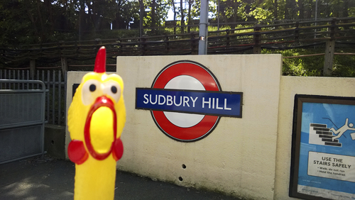
SUDBURY HILL

Sudbury-Hill

See Sudbury Town. The Hill is the high ground to the north of Sudbury.

The station was opened as Sudbury Hill on 28 June 1903.

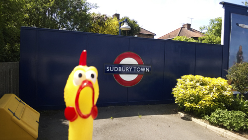
SUDBURY TOWN

Sudbury-Town

Sudbury Town was recorded as Suthbury in 1282 and the name is derived from south and the Old English burh, ’manor’ – and means ’the south manor’, for it lies to the south-east of Harrow. The Town was built up during the later part of the 19th century.

The station opened as Sudbuty Town on 28 June 1903.

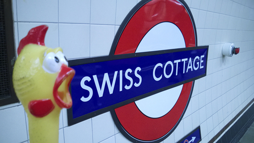
SWISS COTTAGE

Swiss-Cottage

Swiss Cottage takes its name from a famous public house. Here once stood an old toll gate keeper’s cottage, then later a chalet. The Swiss Tavern was built in 1803–04, the name being changed to Swiss Cottage at a later date. The building was reconstructed in 1965. Built to design of a Swiss cottage, it claims to be largest ’pub’ in London. When the railway was extended in 1868 to this part of north-west London, the name was taken for the station, and later for the district.

The Metropolitan Railway station was opened as Swiss Cottage on 13 April 1868 and closed as from 18 August 1940. The replacing tube station opened on 20 November 1939 on the Bakerloo Line Stanmore branch, which then became part of the Jubilee Line on 1 May 1979.

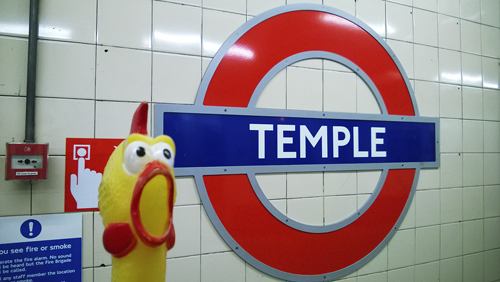
TEMPLE

Temple-2

The site of the Law Courts and London’s lawyers stands on land once owned by the Knights Templars, members of a military and religious Order founded in Jerusalem in about 1118. Their task was to protect the holy places and their name derives from the place where they have their quarters, near the site of Solomon’s Temple. The name Temple was also given to their quarters in London and Paris. The Pope dissolved the Order in 1312 and the buildings have been used by the legal profession from the 14th century.

Prior the station’s opening the name Norfolk Street was considered, but it was opened as Temple on 30 May 1870.

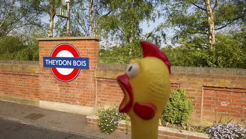
THEYDON BOIS

Theydon-Bois

Theydon Bois was known as Thayden de Bosco and held by Hugh de Bossco in 1240, but this family name seems to be of local and not French origin and is derived from the wood in Theydon. Theydon itself means, perhaps, ’a valley where thatch was obtained’.

The station was opened as Theydon by the Great Eastern Railway on 24 April 1865; re-named Theydon Bois on 1 December 1865. First used by Underground trains on 25 September 1949.

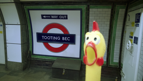
TOOTING BEC

Tooting-Bec

Tooting was recorded as Totinge in 675 and Totinge in the Domesday Book. From c. 1082 it comprised two manors – that of Upper Tooting and Tooting Bec, held in 1086 by the Abbey of St Mary of Bec in Normandy and Tooting Bec is so named. Tooting is derived from a personal name of the Saxon Tota and the Old English place name word ending ing, literally ’the people who lived at’ – Tooting, therefore means – ’the home of Tota’s people’. It is suggested that it should be also interpreted as ’people of the look-out place’ but this is doubtful as there is no hill in Tooting.

The station was opened as Trinity Road on 13 September 1926; re-named Tooting Bec 1 October 1950.

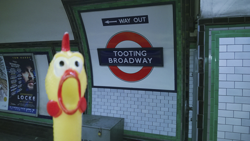
TOOTING BROADWAY

Tooting-Broadway

See Tooting Bec. The Broadway, once a large open space, is now a small triangular area near the station.

The station was opened as Tooting Broadway on 13 September 1926.

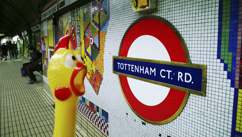
TOTTENHAM COURT ROAD

Tottenham-Court-Road

Tottenham Court Road was recorded as Tottenheale c. 1000 and is derived from the personal name of William de Tottenhall’s land and manor which, at the time of the Norman Conquest, belonged to the Deanery of St. Paul’s Cathedral. A later name was Totten Hall which lay at the north-west corner of the present road. There was an ancient court here, much of which was demolished in 1765 to make way for the Euston Road. By the 17th century the place had become a tea garden and public amusement centre. During the early 19th century the road was built up when Bloomsbury to the east was being developed, although much was reconstructed in the early 1900s.

The Central London Railway station was opened as Tottenham Court Road on 30 July 1900; the adjacent Charing Cross Euston & Hampstead Railway station was opened as Oxford Street on 22 June 1907 and re-named Tottenham Court Road on 9 March 1908 (see also Goodge Street).

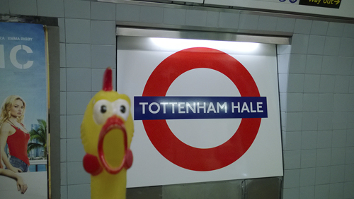
TOTTENHAM HALE

Tottenham-Hale

Tottenham was recorded as Toteham in the Domesday Book and the name is derived from the personal name of Saxon Tottaand the Old English ham, ’a homestead’ – ’the home of Totta’ and his family who once lived on a site here. Hale is derived from the Old English healh, ’a corner of land’. It was recorded as le Hale in 1502 and was the home of Richard atte Hale in 1274.

The station was opened as Tottenham Hale on 1 September 1968.

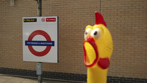
TOTTERIDGE & WHETSTONE

TotteridgeWethstone

Totteridge was recorded as Taterugg in 1248 and is derived from the personal name of Saxon Totta and a ridge of a hill where he lived – and thus means ’Totta’s ridge’. Whetstone was recorded as Wheston in 1417 and means ’the stone quarry’. Tradition holds that there were once a large stone here on which the soldiers sharpened their steel before the battle of Barnet in 1471.

The station was opened as Totteridge by the Great Northern Railway on 1 April 1872 and was re-named Totteridge & Whetstone on 1 April 1874. It was first used by Underground trains on 14 April 1940.

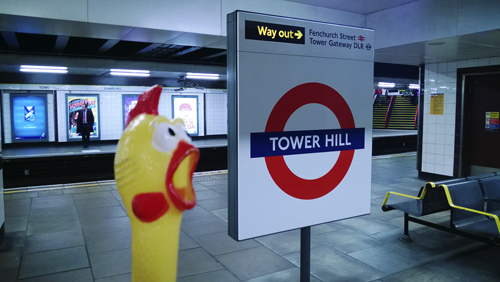
TOWER HILL

Tower-Hill

Tower Hill was recorded as Tourhulle in 1343 and takes its name from the nearby Tower of London, notorious in history as the place of public execution of the traitors taken here from the Tower. 125 people are known to have died here between 1381–1745 and a slab nearby Trinity Square Gardens marks the scaffold site. At the foot of Tower Hill stands a new kiosk to that which from 1870–96 was the entrance to London’s first tube tunnel under the Thames.

Prior to the station’s opening the name of Seething Lane was considered, but it opened as Mark Lane on 6 October 1884 and re-named Tower Hill on 1 September 1946. It was re-sited on 5 February 1967 on the place where a station called Tower of London had been in use from 25 September 1882 to 12 October 1884.

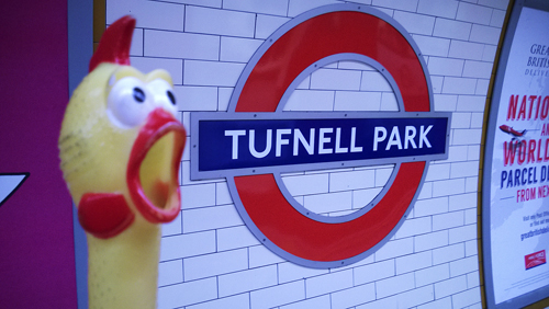
TUFNELL PARK

Tufnell-Park

Tufnell Park was named in honour of William Tufnell who held the manor of Barnsbury in 1753. Tufnell Park Road runs to the east of the station, but there is no park in the area.

The station was opened as Tufnell Park on 22 June 1907.

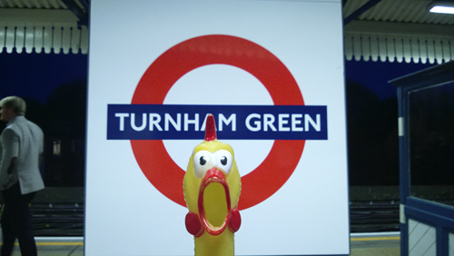
TURNHAM GREEN

Turnham-Green

Turnham Green was recorded as Turneham in c. 1229 and was once a hamlet on the Great West Road. The name is derived from the Old English turn, ’circular’ and hamm, ’a water meadow’ – and means literally ’the bend at the river’ referring to the nearby River Thames. The Green was first recorded in 1396 where Christ Church now stands. Incidentally, it was here, during the Civil War, that King Charles’s troops were checked by the rebel Parliament’s Trained Bands of Londoners.

The station, which would more accurately be named Bedford Park, was opened as Turnham Green by the London & South Western Railway on 1 January 1869 and first used by Underground trains on 1 June 1877. The rebuilt station was opened on 3 December 1911.

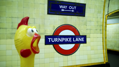
TURNPIKE LANE

Turnpike-Lane

Turnpike Lane once belonged to the ’Stamford Hill and Green Lanes Turnpike Trust’ and a turnpike gate was erected in 1767 a the Hornsey Lane (now Tottenham Lane) end of the road; it was removed in the 1870s. A ’Turnpike’ was a gate set across a road to stop those who were liable to pay a toll. Originally this was a frame consisting of two crossbars armed with pikes and turning on a post – hence the name.

The names Duckets Green and Harringay were considered but the station was opened as Turnpike Lane on 19 September 1932.

Share This:

LONDON TUBE STATIONS 5, N-R

”Hi, my name is Francis. I am your travel guide to the roots of the London Underground and to the origins of the names of all stations currently in use. This is the fifth stage of our wonderful journey. Welcome aboard! Here are the stations from Naesden to Russell Square.”

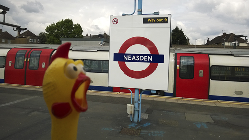
NAESDEN

Neasted

Neaeden was recorded as Naesdun in 939 and the name is derived from the Old English naess, ’nose’ and dun, ’hill’ – it means ’the nose-shaped hill’ referring to well defined landmark of this area. It was known as Needsden in 1750, and the present spelling appeared at a later date.

The station was opened as Kingsbury & Neasden on 2 August 1880; re-named Neasden & Kingsbury on 1 January 1910 and Neasden on 1 January 1932.

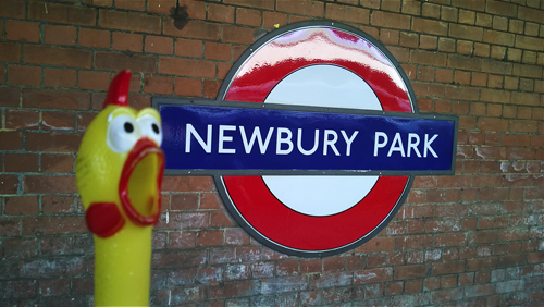
NEWBURY PARK

Newbury-Park

Newbury Park was recorded in 1348 and is derived from new and the Old English burh, ’manor house’. It therefore means ’the (then) new manor’, in the park.

The station was opened as Newbury Park by the Great Eastern Railway on 1 May 1903 and was first used by Underground trains on 14 December 1947.

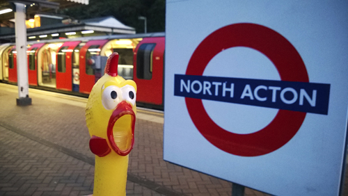
NORTH ACTON

North-Acton

See Acton Town.

The station was opened as North Acton on 5 November 1923. (There had been a Great Western Railway halt named North Acton, to the west of the present station, from 2 May 1904 to 31 January 1913.)

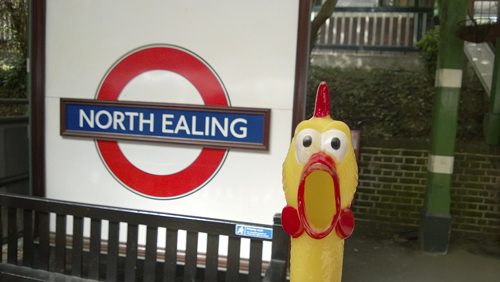
NORTH EALING

North-Ealing

See Ealing Broadway.

The station was opened as North Ealing on 23 June 1903.

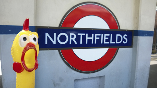
NORTHFIELDS

Northfields

Northfields is a new district name preserving the old field-name Northfield which is self-explanatory, being recorded in 1455.

The station was opened as Northfield Halt on 16 April 1908; re-named Northfields & Little Ealing 11 December 1911; re-sited as Northfields, east of the old site, on 19 May 1932.

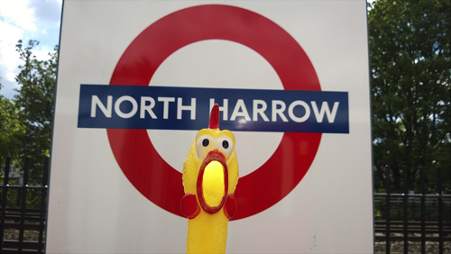
NORTH HARROW

North-Harrow


See Harrow-on-the-Hill.

The station was opened as North Harrow on 22 March 1932.

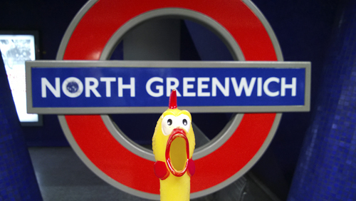
NORTH GREENWICH

North-Greenwich

Greenwich it seems was given its name by either the Saxon invaders of the sixth century who called it Green Village – from the Old English green and wic. Or maybe the invading Danes of the ninth century who called it the ’Green Reach’, the reach referring to the straight part of the River Thames on which Greenwich stands. It was recorded as Grenewc in 964 and Grenvtz in the Domesday Book (1086). The place of course is famous for being on ’0 degrees’ of longitude and therefore ’Standard Time’ for most countries of the World is based on ’Greenwich Time’.

The station was opened as North Greenwich on 14 May 1999.

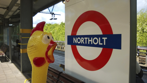
NORTHOLT

Northolt

Northolt was recorded as nord healum in 960 and as Northala in the Domesday Book and the name is derived from the Old English nord, ’north’ and health, ’heath’ – it means ’the north heath’ or ’angle of land’ in contrast to Southall. Known as Northolt by 1610.

The station was opened for Underground trains as Northolt on 21 November 1948, replacing a halt of the same name, but on a different site, which had been opened by the Great Western Railway on 1 May 1907.

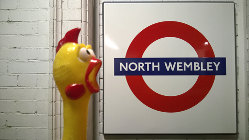
NORTH WEMBLEY

North-Wembley

See Wembley Central.

The station was opened as Wembley Central by the London & North Western Railway on 15 June 1912, and was first used by Underground trains on 16 April 1917.

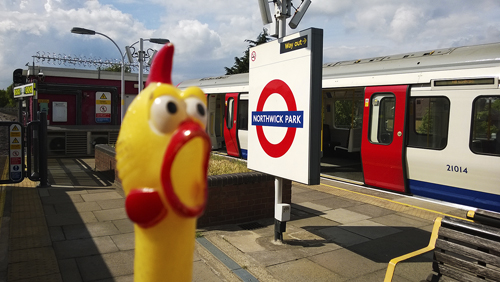
NORTHWICK PARK

Northwick-Park

Northwick Park is a modern name and comes from the Northwick family, Lords of the Manor of Harrow in 1797.

The station opened as Northwick Park & Kenton on 28 June 1923; re-named Northwick Park on 15 March 1937.

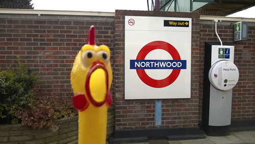
NORTHWOOD

Northwood

Northwood was recorded as Northwode in 1435 and was originally the name of a Wood and farm lying to the north of Ruislip. The present town dates chiefly from the construction of the railway c. 1885.

The station was opened as Northwood on 1 September 1887.

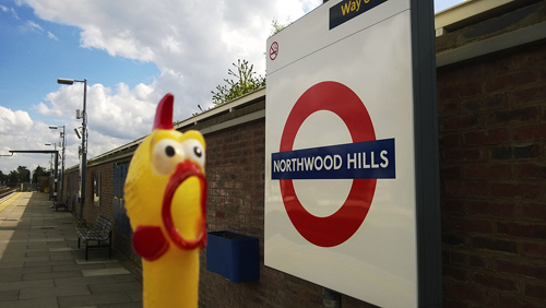
NORTHWOOD HILLS

Northwood-Hill

See Northwood. The Hills refer to nearby high ground. The station may have its name as a result of a public competition sponsored by the Metropolitan Railway.

The station opened as Northwood Hills on 13 November 1933.

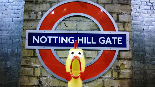
NOTTING HILL GATE

NottingHillGate

Notting Hill Gate was recorded as Knottynghull in 1356 but the origin of the name is in some doubt. It may be taken from the Old English cnotting, ’a hill’ or more probably it is the name (or nickname) for a family who settled in this area in early times, called Knottying. Recorded as Noding Hill in 1680 and with the present spelling at a later day. A gate formerly stood at the junction of Kensington Church Street and the main road and was removed in 1864.

The station was opened as Notting Hill Gate on 1 October 1868.

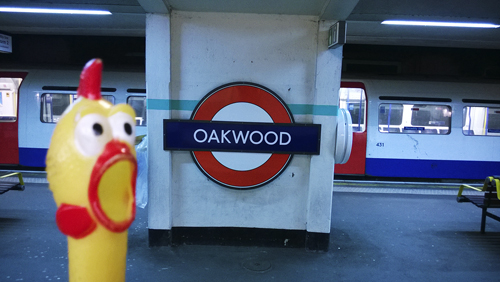
OAKWOOD

Oakwood

Oakwood takes its name from the nearby Oakwood Park, or possibly a large house which once stood here called Oak Lodge.

The names of East Barnet and Merryhills were considered but the station was opened as Enfield West on 13 March 1933; re-named Enfield West (Oakwood) on 3 May 1934, and Oakwood on 1 September 1946.

OLD STREET

Old-Street

Old Street was recorded as Ealdestrate c. 1200 and le Oldestrete in 1373. Originally from Roman Road, then the old highway from the Aldersgate to the north-east of England, before Bishopsgate was built.

The station was opened as Old Street on 17 November 1901.

OLYMPIA

Kensington-Olympia

See Kensington (Olympia).

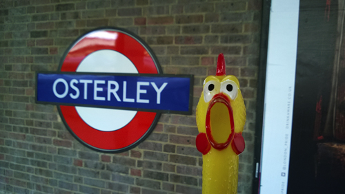
OSTERLEY

Osterley

Osterley was recorded as Osterle in 1274 and the name is derived from either the Old English word eowestre, which can be interpreted as meaning ’sheepfold clearing’, being once pasture land, or the Old English ost, ’a knob of land’ and leah, ’a glide’, which can be interpreted as meaning ’a hillock’. Recorded as Austerley in 1609 and Osterley at a later day.

The station was opened as Osterley & Spring Grove on 1 May 1883. It was re-sited further west and the new station opened on 25 March 1934 as Osterley. The earlier station can still be seen.

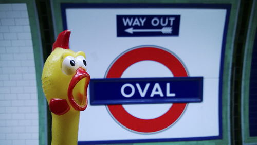
OVAL

Oval

Oval is the famous ground of the Surrey County Cricket Club which was formed in 1884, the name Oval coming from the shape of the ground. The first piece of turf was laid in March 1845. The first cricket match was played on or about 13 May of that year, and the first Test match in England (v. Australia) in 1880.

Prior the station’s opening the name of Kennington Oval was considered, and may have been used for a short time after opening. Officially, the station was opened as Oval on 18 December 1890.

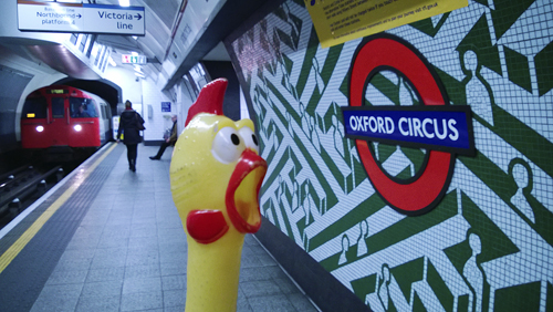
OXFORD CIRCUS

Oxford-Circus

Oxford Circus takes its name from Oxford Street of which it forms a part. This was the old road to Oxford in 1682, recorded as Oxford Road in 1720, and Oxford Street in 1725. The Circus was originally named Regent Circus until the late 19th century.

The station was opened as Oxford Circus on 30 July 1900.

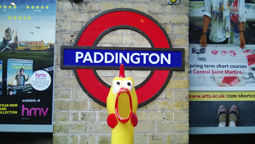
PADDINGTON

Paddington2

Paddington was recorded as Padintune in 959 and the name is derived from the personal name of Saxon Padda and the Old English tun, ’a farm’ – it means ’the farm of Padda’, an Anglo Saxon chieftain. Recorded as Patyngton in 1398 and changed to Paddington in the course of time.

The Circle Line station (Opposite the Great Western Station Hotel) was opened as Paddington (Praed Street) on 1 October 1868; re-named Paddington 11 July 1948. The Hammersmith & City Line station (alongside the main line platform 12) was opened as Paddington (Bishop’s Road) on 10 January 1863; re-named Paddington on 10 September 1933. The Bakerloo Line station was opened as Paddington on 1 December 1913.

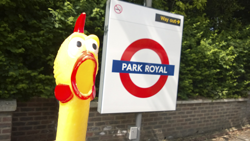
PARK ROYAL

Park-Royal

Park Royal was the grand name given to a piece of land where an unsuccessful attempt was made to establish a fixed ground for the Royal Agricultural Society Annual Show. Before the First World War the land was build over and the name became that of a district.

The station was opened as Park Royal & Twyford Abbey on 23 June 1903; re-sited on 6 July 1931 and re-named Park Royal.

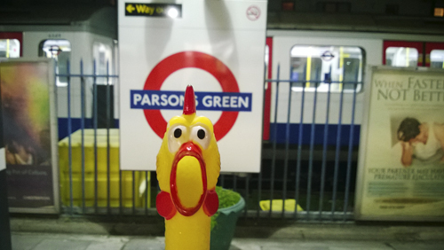
PARSONS GREEN

Parsons-Green

As the name suggests, this was the hamlet which grew up round the parsonage house of Fulham, being recorded as Personesgrene in 1391. The Green is now a small triangular place of land on the edge of which stands the parish church.

The station was opened as Parsons Green on 1 March 1880.

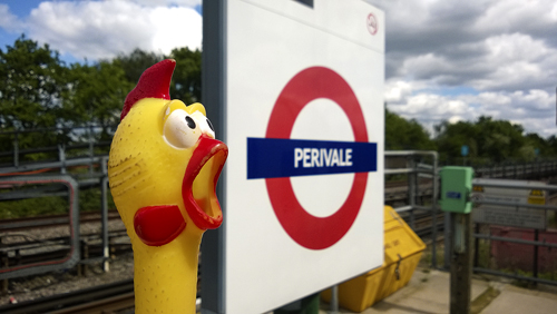
PERIVALE

Perivale

This district was originally known as Greneford and is recorded as this in the Domesday Book, later to be known as Little Greenford (in 1386) a distinction from Greenford (or Great Greenford). The name was changed by 1508 to Pyryvale and is derived from Middle English perie, ’ a pear tree’ and Old French val, ’vale’ and means ’the valley with the pear trees’, which referred to a nearby meadow. Called Purevale in the late 16th century, it changed to the present spelling in the course of time.

The station was opened for Underground trains as Perivale on 30 June 1947. It replaced a Perivale Halt on the Great Western Railway opened on 2 May 1904.

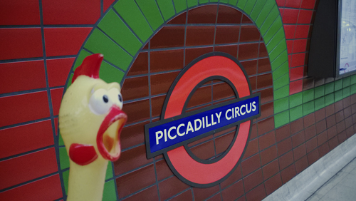
PICCADILLY CIRCUS

Piccadilly-Circus

The name Piccadilly is probably derived from Pickadilly Hall, the popular name of a house built in c. 1611 near Windmill Street by a retired tailor, Robert Baker, who made much of his fortune by the sale of ’pickadillies’, a form of collar or ruff. The street was known as Portugal Street in 1692 in honour of Catharine of Braganza, the Queen of Charles II, but changed to Pickadilly Street by 1763. The Circus, built during the 19th century, covers the site of a house and garden belonging to a Lady Hutton; the garden was near a field known as the Round Ringill.

The station was opened as Piccadilly Circus on 10 March 1906. An extensively reconstructed station was opened on 10 December 1928.

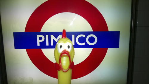
PIMLICO

Pimlico

Pimlico is a comparatively new district of London, recorded as Pimplico in 1630. It seems that the name was copied from a garden of public entertainment in Hoxton (north London), named after its owner, a well known inn-keeper, Ben Pimlico, whose name was also given to his inn (late 16th century). There was once a Pimlico Walk in Hoxton. Pimlico, on the north bank of the Thames, was almost uninhabited before the 19th century.

The station was opened as Pimlico on 14 September 1972.

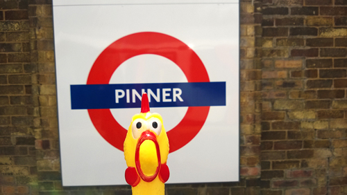
PINNER

Pinner

Pinner was recorded as Pinnora in 1232 and the name is derived from a personal name (or nickname) Pin (or Pinna), and the Old English ora, ’bank edge’ or ’slope’ – this refers to the original village street which slopes steeply up to the church from the Pinn River – and thus means ’the slope to Pinna’s place’. It is certain that the River Pinn take its name from the old village and not vice versa. It was recorded as Pynnor in 1483.

The station was opened as Pinner on 25 May 1885.

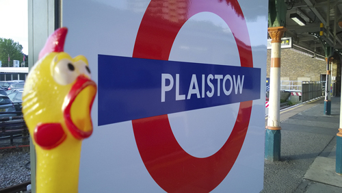
PLAISTOW


Plaistow

Plaistow was recorded as Plagestoue c. 1200 and was the ancient site of a Manor and a place of court meetings. It was also, on occasions, the place where ’miracle plays’ and similar entertainments were performed. The name is derived from the Old English pleg, ’sports’ or ’playing’ and stowe, ’place’ – and means, simply, ’the playing-place’.

The station was opened as Plaistow by the London, Tilbury & Southend Railway on 31 March 1858; first used by Underground trains on 2 June 1902.

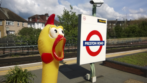
PRESTON ROAD

Preston-Road

Preston Road was mentioned as Preston in 1994 and the name comes from the Old English preast, ’a priest’ and tun ’a farm’ – and means ’the farm belonging to priest(s)’. A priest is mentioned in the Domesday Book as holding land in the parish of Harrow, possibly at this location. The road was added to the name as the district grew in the course of time.

The station was opened as Preston Road halt on 21 May 1908; new station (re-sited) 22 November 1931.

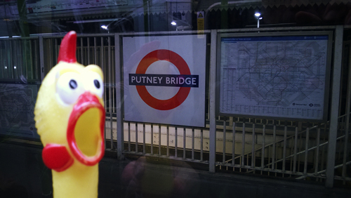
PUTNEY BRIDGE

Putney-Bridge

Putney Bridge was recorded as Putelei in the Domesday Book and the name is derived from the Saxon personal name Puttan and the Old English hyp, ’a landing place’ – Puttans’s wharf. This was one of many such landing places on River Thames. The original wooden bridge was erected in 1729 and replaced by the present stone bridge in 1884–86. It was widened in 1933.

The station opened on 1 March 1880 as Putney Bridge & Fulham; re-named Putney Bridge & Hurlingham 1 September 1902; Putney Bridge 1932.

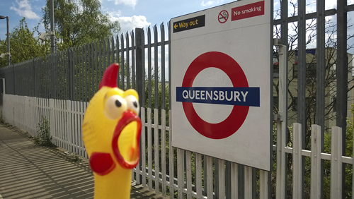
QUEENSBURY

Qeensbury

Queensbury really means ’a fortified place’ but do not look for the remains in this part of north-west London. When the new Metropolitan Line to Stanmore was opened on 10 December 1932, one station was called Kingsbury. Two years later, a further station was opened and the name Queensbury was invented for it.

The station was opened as Queensbury on 16 December 1934.

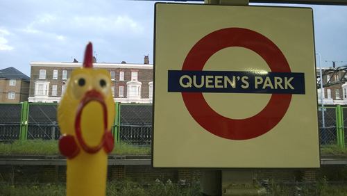
QUEEN’S PARK

Queens-Park

Queen’s Park was the name adopted for a housing estate by the park that was built from the late 1870s onwards. It was so named in honour of Queen Victoria.

The original London & Western Railway station was opened as Queen’s Park (West Kilburn) on 2 June 1879. The present station was opened as Queen’s Park for Underground trains on 11 February 1915.

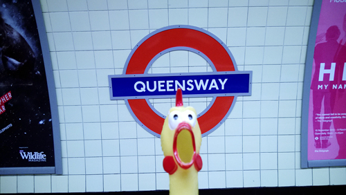
QUEENSWAY

Queensway

Queensway, formerly called Black Line Lane, was named from the Public House once on the corner of the street. It was re-named in honour of Queen Victoria soon after she came to the throne in 1837. It is suggested that the reason was that, as a child, this was the place of Victoria’s favourite horse ride; she then lived only a half a mile away at Kensington Palace. It was at first called Queen’s Road, then Queensway from January 1938.

The station was opened as Queen’s Road on 30 July 1900; re-named Queensway 1 September 1946.

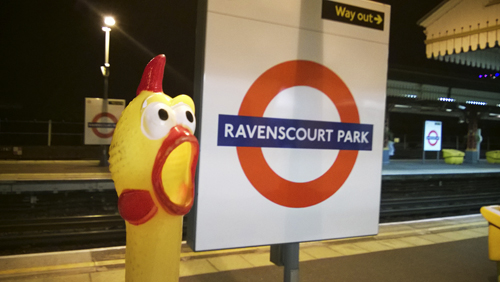
RAVENSCOURT PARK

Ravenscourt-Park

Ravenscourt Park was the manor granted to Alice Perrers, the notorious favourite of Edward III (reigned 1327–77). It was known as Palyngewyk in 1270 (later Padingwick) and 1819 a Raven’s Court House was recorded in the area, but the history of this modern name is unknown. The Park lies opposite the station along Paddenswick Road.

The station was opened as Shaftesbury Road by the London & South Western Railway on 1 April 1873. It was re-named Ravenscourt Park on 1 March 1888. First used by Underground trains on 1 June 1877.

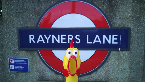
RAYNERS LANE

Rayners-Lane

Rayners Lane was developed as a suburban residential area in the 1930s. The lane is named after Daniel Rayner, who owned a farm on it during the early days of the Metropolitan Railway.

The station was opened as Rayners Lane Halt on 26 May 1906.

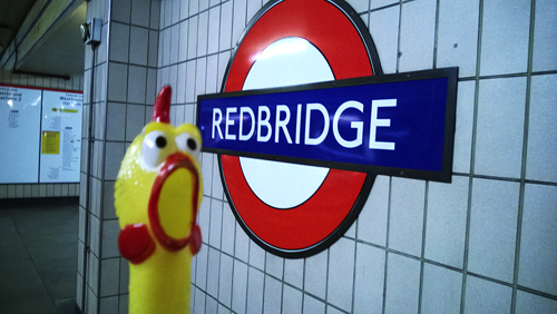
REDBRIDGE

Redbridge

Redbridge takes its name from the bridge over the River Roding on what is now the Eastern Avenue just outside Wanstead. The old red bridge, first recorded in a map in 1746, was probably a century older; it has been replaced by a more modern one but the original bridge has given a name to a whole new London borough.

Prior to the opening of the station two other names, Ilford West and Red House were considered, but it opened as Redbridge on 14 December 1947.

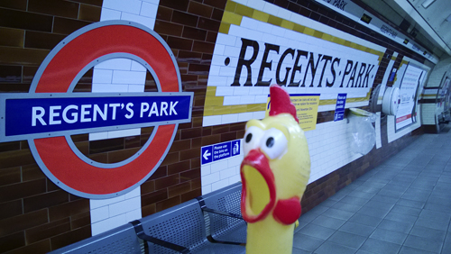
REGENT’S PARK

Regents-Park

Regent’s Park, once Marylebone Park, was a Royal Hunting ground until the Interregnum, 1649. It reverted to the Crown in 1811 and was laid out afresh from 1812 onwards by John Nash for the Prince Regent, after whom it is named. At the same time Nash designed and built Regent Street as part of the ’Royal Mile’ connecting the park with the Prince’s house in St James’s. Roughly circular in shape, the Park covers an area of 472 acres and includes the famous London Zoo.

The station was opened as Regent’s Park on 10 March 1906.

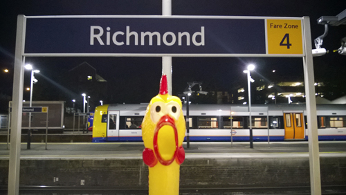
RICHMOND

Richmond

Richmond was known as Shene (meaning Shelter) from c. 950 until 1502, when Henry VIII rebuilt the place here after it had been burnt down by fire a year earlier. He called it Richmond (or Richemount) after his earldom so named in Yorkshire. This, in its turn, originally came from a name of a place in France. So modern Richmond obtained its name in a roundabout way.

The original London & South Western Railway station was opened as Richmond on 27 July 1846. The terminal station platforms were opened by the LSWR for the use of their own service from Hammersmith on 1 January 1869 and North London Railway trains from Broad Street. District Railway trains began on 1 June 1877 and the Metropolitan Railway served it between 1 October 1877 and 31 December 1906.

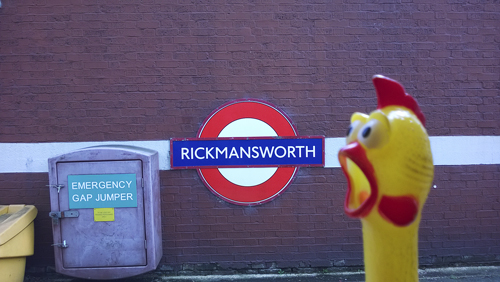
RICKMANSWORTH

Ricksmansworth

Rickmansworth was recorded as Prichemareworde in the Domesday Book and the name derives from a personal name Ricmaer and the Old English worp, ’enclosure’. It seems that Ricmaer is a continental name and this person had recently come from Europe and settled here. There have been many changes of spelling including Rikmersworth in 1430, until the present spelling was adopted.

The station was opened as Rickmansworth on 1 September 1887.

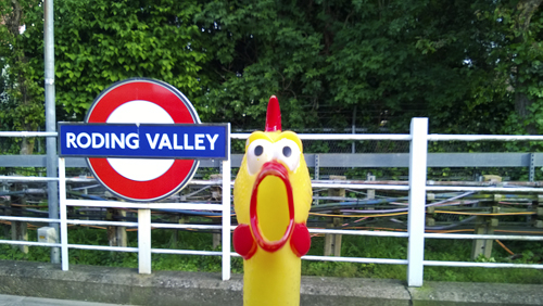
RODING VALLEY


Roding-Valley

Roding Valley takes its name from the River Roding. The river, however, took its name from the village called Reding (or Roothing), which in turn came from the settlement of the people known as the Hroda, and was corrupted to Roding in the course of time. It was recorded as Rodon in 1576. The Valley as such is no more than a shallow dip at this point.

The station was opened by the London & North Eastern Railway as Roding Valley on 3 February 1936 and was first used by Underground trains on 21 November 1948.

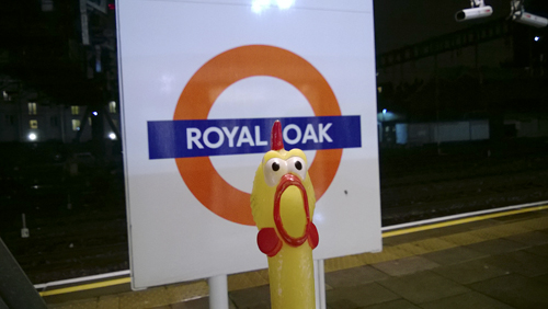
ROYAL OAK

Royal-Oak

Royal Oak was the name of an old rural tavern, the entrance to which was by way of a wooden plank over the Westbourne River. This has now been replaced by the ’Railway Tap’ public house which contains much of interest for any railway enthusiast. The station and district now take their name from the old tavern.

The station was opened as Royal Oak on 30 October 1871.

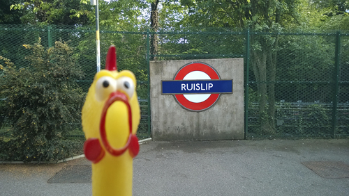
RUISLIP

Ruislip

Ruislip was recorded as Rislepe in the Domesday Book and the name has one of London’s most curious origins derived from the Old English ryse, ’rush’ and hlype, ’leap’. It seems to refer to a spot where the little River Pinn could once be crossed. It has had various spellings until recorded as Ruislip in 1527.

The station was opened as Ruislip on 4 July 1904.

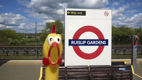
RUISLIP GARDENS

Ruislip-Gardens

See Ruislip. The Gardens were taken from the name of a nearby 1930s housing development.

The station opened as Ruislip Gardens on 21 November 1948.

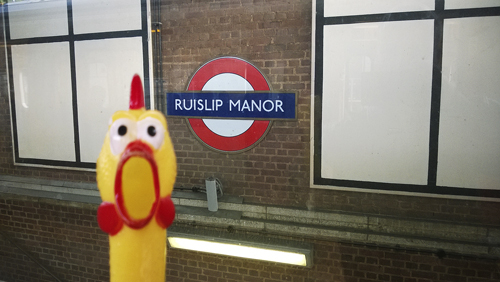
RUISLIP MANOR

Ruislip-Manor

See Ruislip. Today near the River Pinn lies Manor farm. This, and its surroundings, once had a priory dependent of the Norman Abbey of Bec. During the wars with France the Manor was confiscated by the Crown and the priory was closed in 1414. The land was granted to the Earl of Bedford, then to King’s College, Cambridge, who still own the lordship of the manor.

The station was opened as Ruislip Manor halt on 5 August 1912.

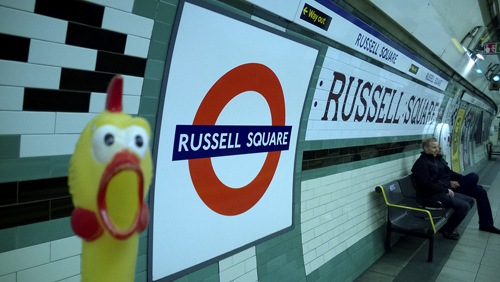
RUSSELL SQUARE

Russell-Square

Russell Square was named in 1800 by an Act of Parliament and was built between 1801–05. It takes its name from the Dukes of Bedford whose family name is Russell; tey acquired lands in London in 1552 and later by marriage in 1669. The square was once part of an area known as Southampton Fields and later called Long Fields. The square was badly damaged during the Second World War, but has been redeveloped since to become the second largest square in London.

The station opened as Russell Square on 15 December 1906.

Share This:

LONDON TUBE STATIONS 4, I-M

”Hi, my name is Francis. I am your travel guide to the roots of the London Underground and to the origins of the names of all stations currently in use. This is the fourth stage of our journey. Have a seat and relax! Here are the stations from Ickenham Town to Mornington Crescent.”

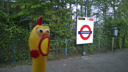
ICKENHAM

Ickenham

Ickenham was recorded as Ticheha in the Domesday Book and is derived from the personal name of the Saxon Ticea (or Ica) and the Old English ham,’a home’ – and means ’the home of Ica’ and his family who once lived on a site here. Recorded as Ikenham in 1236.

The station was opened as Ickenham Halt on 25 September 1905.

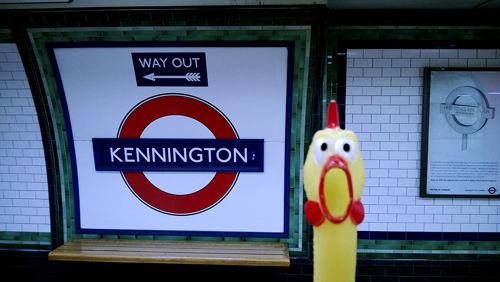
KENNINGTON

Kennington

Kennington was recorded as Chenintune in the Domesday Book and is derived from the personal name of the Saxon Cena and the Old English tun, ’a farm’ – therefore it means ’the farm of Cena’, an early inhabitant of the area. It was recorded as Kenington in 1275.

Prior to the station’s opening the name of New Street was proposed, but it was opened as Kennington on 18 December 1890.

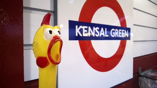
KENSAL GREEN

Kensal-Geen

Kensal Green was recorded as Kingisholte in 1255 and means the King’s Wood (King and Old English holt, ’a wood’) but just who the royal owner was is unknown. The Green is recorded in 1550 and lies just south of the station; it includes the Kensal Green Cemetery.

The station was opened as Kensal Green on 1 October 1916.

KENSINGTON (OLYMPIA)

Kensington-Olympia

Kensington Olympia is recorded as Cheninton in the Domesday Book and the name is derived from the personal name of the Saxon Cynesige and the Old English tun, ’a farm’ – it means ’the farm of Cynesige’, another local agriculturist. It has had many variant spellings, with Kenesingeton recorded in 1274. Olympia is the name of the huge exhibition building opened in 1886 and extended to the main road in 1930.

The station was opened by the West London Railway as Kensington on 27 May 1844; re-sited farther north 2 June 1862; re-named Kensington (Addison Road) in 1868; re-named Kensington (Olympia) 19 December 1946.

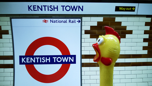
KENTISH TOWN

Kentish-Town

Kentish Town stands recorded as Kentisston in 1208 and the name seems to be derived from a farm held by someone nick-named le Kentiss(h) – and means Kentish Farm, but the real history of the name is, however, unknown. It was only coincidence that Charles Pratt, Earl Camden, obtained through his marriage the Manor of Kentish Town in 1791. He in fact took his name from Camden Place in Kent. The Town developed in the later part of the 18th century as an industrialized area of north west London.

The station was opened as Kentish Town on 22 June 1907.

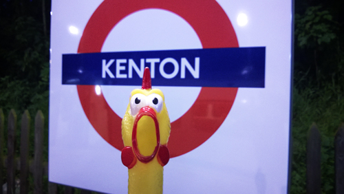
KENTON

Kenton

Kenton was recorded as Keninton in 1232 and the name is derived from the personal name of the Saxon Coena and the Old English tun, ’a farm’ – and means ’the farm of Coena’ and his family who once lived on a site here (see the similarity with Kennington).

The station was opened as Kenton by the London & North Western Railway on 15 June 1912 and first used by Underground trains on 16 April 1917.

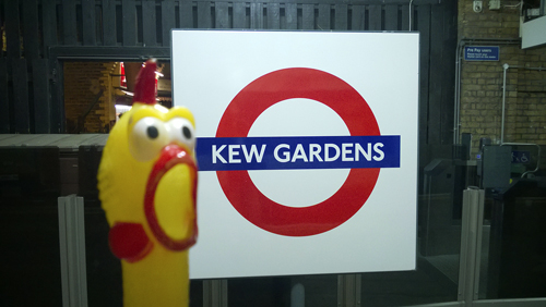
KEW GARDENS

Kew-Gardens

Kew Gardens, officially the Royal Botanic Gardens, were founded in 1759 by Princess Augusta (mother of George III) in the grounds of Kew House and Richmond Lodge. Kew House was demolished in 1802. Noted for its great variety of plants and wild-life, the gardens now cover 288 acres and were given to the nation by Queen Victoria 1841. Kew is the name of this district on the south bank of the Thames and its name is derived from the Middle English Key – meaning ’a quay or wharf’.

The station was opened as Kew Gardens by the London & South Western Railway on 1 January 1869 and first used by Underground trains on 1 June 1877.

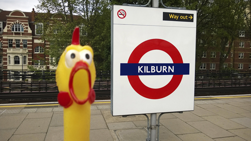
KILBURN

Kilburn

Kilburn, recorded as Cuneburna in 1121, takes its name from a stream which rose in Hampstead and flowed across West London, finally joining the River Thames near Chelsea Bridge. Only parts of the stream are in existence today and it has other names in different locations. Where it once turned south to Kilburn High Road it was known as Kylbourne (1502). The name is derived from the Old English cyne-burna, ’royal stream’ or ’cows’ stream’. Although Cylla (a once local inhabitant of the area) has also been given as a possible derivation, the first definition seems correct.

The station was opened as Kilburn & Brondesbury on 24 November 1879; re-named Kilburn on 25 September 1950.

KILBURN PARK

Kilburn-Park

See Kilburn. The only remaining link with the Park today is the Kilburn Park Road to the south of the station.

The station was opened as Kilburn Park on 31 January 1915.

KINGSBURY

Kingsbury

Kingsbury was recorded as Kynges byrig in 1046 and as Chingesberie in the Domesday Book. The name is derived from Kings and the Old English burh, ’a fortified place’ and means the ’King’s manor or stronghold’. The manor was granted to Westminster Abbey by Edward the Confessor (reigned 1042–66) and the association of the area with a King goes back to at least 957, when the woodland in the parish was referred to as Kings Wood. It has had various spellings, being known as Kyngesbury in 1199.

The station was opened as Kingsbury on 10 December 1932.

KING’S CROSS ST PANCRAS

Kings-Cross

The district of north London now known as King’s Cross was originally called Battlebridge, traditionally the site of one of the battles between Boudicca (Boadicea), the British Queen of the Iceni, and the Romans about A.D. 59 or 61 at the bridge over the River Fleet. A corruption in the Cockney dialect of Bradeford (’broad ford – over the Holborn or Fleet River) was recorded in 1207. Later, however, the district took its present name from a statue of King George IV which stood from 1830–45 at the crossroads here. This name was generally in use when the then Great Northern Railway adopted it for its terminus in 1850. St Pancras was once a solitary village and later a manor granted by Ethelberg (reigned 860–866) to St Paul’s Cathedral. Recorded as Sanctum Panctatiú in the Domesday Book, the old village took its name from the church dedicated to the boy martyr St Pancras (Pancratius). Accordion to tradition this site is one of the first near London on which a church was built, but now the old church (much restored) lies nearly forgotten behind the Midland Railway main-line station named after it, which was opened in 1868. Tradition has it that the station is situated on part of Caesar’s camp dating from c. BC50.

The Metropolitan line station was opened on 10 January 1863 as King’s Cross; re-named as King’s Cross & St Pancras in 1927 and King’s Cross St Pancras in 1933. It was replaced by a new station farther west on 14 March 1941; this new station was adjacent to the tube stations for the Piccadilly Line (which was opened on 15 December 1906) and the Northern Line (opened on 12 May 1907). Building the Victoria Line involved extensive reconstruction, the present station being brought into use on 1 December 1968.

KNIGHTSBRIDGE

Knightsbridge

Knightsbridge was recorded as Cnihtebricge in 1046 and can be interpreted as meaning ’the bridge of the young men’. It appears that these men were responsible for the upkeep or the defence of the bridge over the Westbourne stream where it crossed the Great West Road. The street has had many variant spellings and was known as Knyghtesbrugg 1364. One story has it that this was the place where knights had their jousting tournaments in days gone by, but this should be taken with that often used ’pinch of salt’. The stream still flows under Albert Gate, Kightsbridge, but is now buried deep in a sewer pipe.

On early plans the station’s name was shown as Sloane Street, but it opened as Knightsbridge on 15 December 1906.

LADBROKE GROVE

Ladbroke-Grove

Richard Ladbrook owned the land here in 1624 and his family sold it for building purposes in 1845, giving their name to this long street running to the north of the station.

The station was opened as Notting Hill on 13 June 1864; re-named Notting Hill & Ladbroke Grove 1880; re-named Ladbroke Grove (North Kensington) on 1 June 1919 and Ladbroke Grove in 1938.

LAMBETH NORTH

Lambeth-North

The name Lambeth is a reminder of the days when ships from all parts of the world sailed into the hearth of London along the River Thames. Recorded in 1041 as Lambhyo and as Lanchei in the Domesday Book, it is derived from the Old English Lambe and hythe, ’a haven’ or ’port’ – and means ’the port where lambs or cattle are shipped’. The suggestion that the first element of the name is from the Old English lam ’dirt’ or ’mud’ can be discounted.

The station was opened as Kennington Road on 10 March 1906; re-named Westminster Bridge Road on 5 August 1906 and Lambeth North on 15 April 1917.

LANCASTER GATE

Lancaster-Road

Lancaster Gate is one of the gates into Hyde Park and could have received its name in honour of Queen Victoria, in her capacity as Duchess of Lancaster. A street of the same name, roughly opposite the gate was built in 1863–66.

Prior the station’s opening the name of Westbourne was proposed, but it opened as Lancaster Gate on 30 July 1900.

LATIMER ROAD

Latimer-Road

Edward Latymer, who died in 1626, bequeathed the land either side of the road to support the scholars of Latymer school in which he took an interest. The road runs north west of the station and ran closer to it prior to the building of Westway. What remains of its southern half is now named Freston Road.

The station was opened as Latimer Road on 16 December 1868.

LEICESTER SQUARE

Leicester-Square

In 1631 Robert Sidney, 2nd Earl of Leicester, later British Ambassador to France (1636–41), obtained a licence to build his London residence here at a place then known as Lammas Land. The square, which takes its name from the Earl, was laid out in 1665, being called Leicester Fields and later Square, being converted to a public garden in 1874. Leicester House was built on the north side in 1637, pulled down in 1790, rebuilt in the early 19th century and destroyed by fire in 1865.

On early plans the station’s name was shown as Cranbourn Street, but it opened as Leicester Square on 15 December 1906.

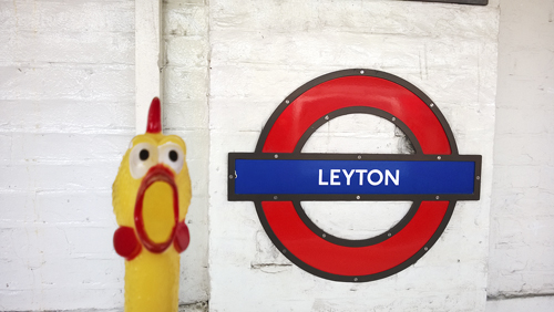
LEYTON

Leyton

Leyton was recorded as Lugetune c. 1050 and Leyton in 1226. It is derived from Lea (the river) and the Old English tun, ’a farm’ – and thus means ’the farm on the River Lea’. Lea is a Celtic name possibly meaning ’light river’ or ’sparkling stream’.

The station opened as Low Leyton by the Eastern Counties Railway on 22 August 1856; re-named Leyton on 1 January 1868. First used by Underground trains on 5 May 1947.

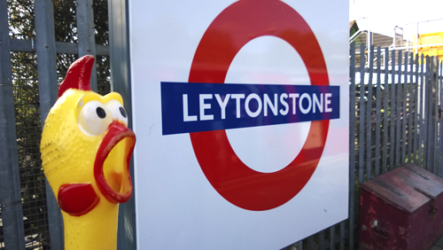
LEYTONSTONE

Leytonstone

Leytonstone has the same meaning as Leyton with the addition of the word ending, stone. Recorded as Leyton at(te) Stone in 1370, tradition explains that this spot is near Leyton and the High Stone, a boundary mark.

The station opened as Low Leytonstone by the Eastern Counties Railway on 22 August 1856 and was first used by Underground trains on 5 May 1947.

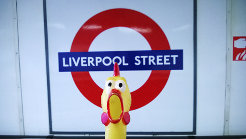
LIVERPOOL STREET

Liverpool-Street

In 1246, on the site now occupied by the station, a priory was erected (later to become the Bethlehem Hospital) which stood here until 1676 when it was removed to London Wall. In 1829 the street was widened and named in honour of Lord Liverpool, who was Prime Minister from 1812–27. The whole area was cleared after 1864 for the building and opening for local traffic of the Liverpool Street main-line station of the Great Eastern Railway in 1874. Metropolitan Line trains ran into it between 1 February and 11 July 1875.

The Metropolitan Railway station was opened as Bishopsgate on 12 July 1875 and re-named Liverpool Street on 1 November 1909. The Central Line reached Liverpool Street on 28 July 1912.

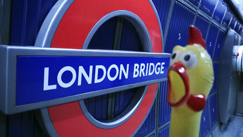
LONDON BRIDGE

London-Bridge-2

It is possible that there was a bridge not far east of the present one in the year 43 and there have been many bridges across the River Thames here in the course of history, the fifth and the latest one being opened in March 1973 and the old bridge being sold and re-erected stone by stone in Arizona. The poem which opens ’London Bridge is falling down’ refers to the battle in 1014 between King Aethelred of the English and the Danes, after which the bridge collapsed. London, recorded as Londonium c. 115 is a Celtic place-name probably formed a personal name Londinos – meaning ’the bold one’.

The Underground station was opened as London Bridge on 25 February 1900.

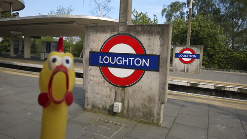
LOUGHTON

Loughton

Loughton, recorded as Lukintone in 1062 and as Lochetuna in the Domesday Book, is derived from the personal name of the Saxon Luhha (or Luea) and the Old English tun, ’a farm’ – it means ’the farm of Luhha’, an early local Essex inhabitant.

The original station was opened as Loughton by the Eastern Counties Railway on 22 August 1856. It was re-sited on 24 April 1865. A new station was opened on 28 April 1940 in readiness for Underground trains, which took over the service from British Railways (Eastern Region) on 21 November 1948.

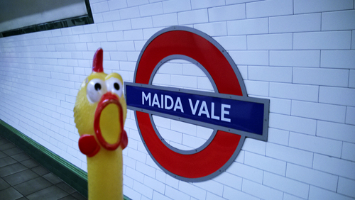
MAIDA VALE

Maida-Vale

Maida Vale, though used as the name of a district, is really only a street name. It takes its name from Maida, a town in Calabria, Italy, where Sir John Stuart defeated the French in 1806. The street was mentioned in 1868, runs north to south and is, in fact, part of the Edgware Road.

Prior the station’s opening the name of Elgin Avenue was proposed, but it opened as Maida Vale on June 6 1915.

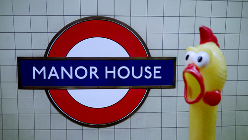
MANOR HOUSE

Manor-House

Close by the station stands the Manor House public house. Known as the ’Manor Tavern’ when it was built in c. 1820 as a stopping place for travellers between London and Cambridge, it was re-named in 1931 after a manor house situated opposite. At this time the public house was rebuilt and the house demolished to make way for St Olave’s Church.

The station was opened as Manor House on 19 September 1932.

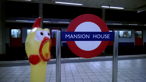
MANSION HOUSE

Mansion-House

Mansion House has been the official residence of the Lord Mayer of London since 1753. The house was designed by George Dance and built in 1739–53 on the site of the old Stocks market and St Mary Woolchurch. The building received some damage in the Second World War. The City Police Court is in the same building.

The station was erected on the site of the Church of Holy Trinity the Less and later a Lutheran church.

The station was opened as Manor House on 3 July 1871.

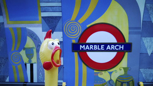
MARBLE ARCH

Marble-Arc

Marble Arch was designed by Nash more or less after the ’Arch of Constantine’ in Rome and the building was originally erected in 1828 in front of Buckingham Palace. It was removed in 1850–51 to its present site where it was an entrance to Hyde Park until 1908. The arch is constructed of Carrara marble.

The station was opened as Marple Arch on 30 July 1900.

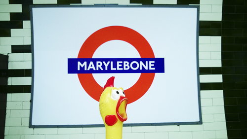
MARYLEBONE

Marylebone

Local feeling with regard to place names should always be taken into consideration, for there is a story regarding how Marylebone received its name. For countless years the place had been known as Tyburn (Tiburne in the Domesday Book) but the association with the tragic tree became too grim and so the local folk took a new name for their parish, being a dedication of the local Church of St Mary-by-the-Bourn, thus ’Tyburn’ became Maryburne and is so recorded in 1453. The le (by or near) was added later, the district being known as Mary le bone in 1746. Tyburn survived until the end of the 18th century with the Tyburn Tree, an execution place, near the present Marble Arch.

During the station’s planning it was referred to as either Marylebone or Lisbon Grove (where the entrance was), but it opened as Great Central (reflecting the ownership of the adjacent main line station) on 27 March 1907; re-named Marylebone on 15 April 1917.

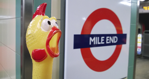
MILE END

Mile-End

Mile End was recorded as La Mile ende in 1288. The then hamlet was so named because of its position on the old London–Colchester road at the distance of about one mile from Aldgate.

The station was opened as Mile end on 2 June 1902. It was rebuild and re-opened on 4 December 1946.

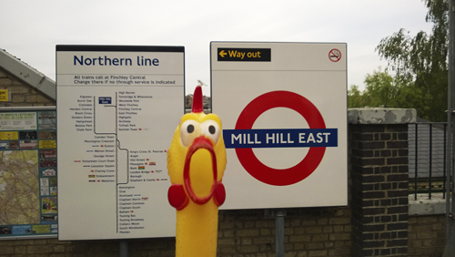
MILL HILL EAST

Mill-Hill-East

Mill Hill was recorded as Myllehill in 1547 and as the name suggest means ’the mill on the hill’. The original site, Mill Field, lies to the north of the present Mill Hill village but there is no evidence that a mill ever existed.

The station was opened as Mill Hill by the Great Northern Railway on 22 August 1867; re-named Mill Hill East on 1 March 1928. In readiness for its use by Underground trains, the committee of the New Works Programme 1935/40 suggested that a change of name to Bittacy Hill might avoid confusion with other Mill Hill stations. However, Mill Hill East remained when the station was first used by Underground trains on 18 May 1941 mainly to serve the nearby barracks.

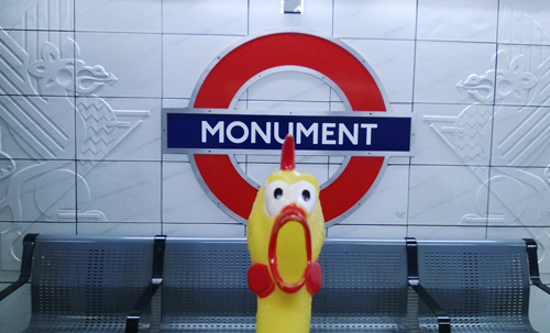
MONUMENT

Monument

This well-known London landmark was erected during the 1670s and is a hollow column 62 meters high designed by Sir Christopher Wren and Robert Hooke. It commemorates the Great Fire of London in 1666 and the height of the monument is said to be the exact distance from the baker’s shop in nearby Pudding Lane where the fire started.

Prior to the station’s opening it was, for a time, referred as King William Street, but it was opened as Eastcheap on 6 October 1884 and re-named Monument on 1 November 1884.

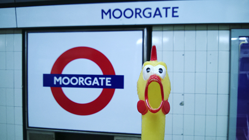
MOORGATE

Moorgate

As the name suggests this was the site of one of the gates in the old City wall. The first Moor gate was cut into the wall in 1415 to give access to the moorland lying to the north of London. As the wall was crumbled during the 18th century the gate was demolished in 1760. The thoroughfare called Moorgate was built in 1846 and, in fact, runs from the site of this old gate.

The moor itself was virtually uninhabited and remained unused throughout the Middle Ages except by crowds of ice skaters who gathered in the winter months. As the area was built up over the years, the Moorfields became London’s first civic park and today places such as Finsbury Square and Finsbury Circus are part of the original Moor.

The station was opened as Moorgate Street on 23 December 1865 and re-named Moorgate on 24 October 1924. The Northern Line station, always called Moorgate, was opened on 25 February 1900.

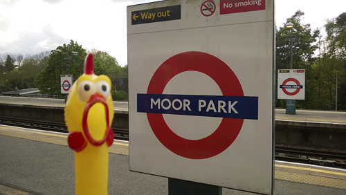
MOOR PARK

Moor-Park

Moor Park was recorded as la More c. 1180 and the meaning is self-explanatory. The original site of the settlement was evidently a Moor Farm which once stood in the River Colne water meadows, near a tract of marshy land.

The station was opened as Sandy Lodge on 9 May 1910; r-named Moor Park & Sandy Lodge on 18 October 1923 and Moor Park on 25 September 1950.

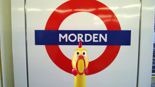
MORDEN

Morden

Morden was recorded as Mordone in the Domesday Book and the name is derived from the Old English mor, ’a marsh’ and dun, ’a hill’ – it means ’marshy hill’ but the interpretation ’hill in the fens’ seems more correct. Morden occupies a hill overlooking lower grounds.

Before the station opened, the name North Morden was proposed, but it opened as Morden on 13 September 1926.

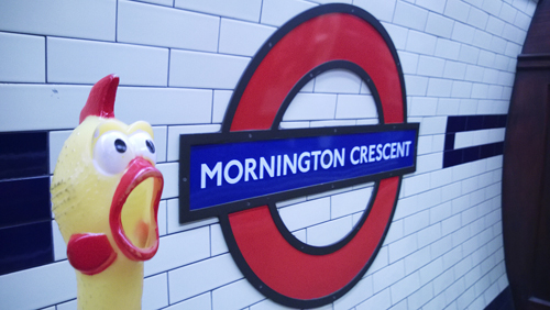
MORNINGTON CRESCENT

Mornington-Crescent

Mornington Crescent was begun in 1821 by Ferdinand, the second Lord Southampton, and is named after a famous connection of the family. For the Lord’s sister-in-law was Anne Wellesley, whose maiden name was Mornington, being the daughter of the Earl of Mornington and sister of the Duke of Wellington.

Prior to the station’s opening the name of Seymour Street was proposed, but it opened as Mornington Crescent on 22 June 1907. It was closed – originally intended to be permanently – on 23 October 1992, but re-opened following refurbishment on 27 April 1998.

Share This:

LONDON TUBE STATIONS 3, F-H

”Hi, my name is Francis. I am your travel guide to the roots of the London Underground and to the origins of the names of all stations currently in use. This is the third stake of our journey. Relax and welcome! Here are the stations from Fairlop to Hyde Park Corner.”

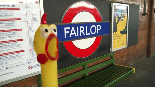
FAIRLOP

Fairlop

A legend surrounds the name of Fairlop. In the early part of the 19th century there was a fine oak tree here, which sheltered a long-established fair founded by a certain Daniel Day. When Day died in 1767, his friends, after much consideration, decided to make his coffin from the tree and as the tree continued to flourish, they agreed that they had made a fair lop. A little fanciful perhaps, but the name is derived from fair and the Modern English lop, ’a small branch or twig’, and means ’the beautiful trees with their leafy branches’ which stood nearby.

The station was opened as Fairlop by the Great Eastern Railway on 1 May and first used by Underground trains on 31 May 1948.

FARRINGDON

Farrington

This part of central London takes its name from Farrington Street. In 1279 the City merchant William de Farindon of Goldsmisth’s Company purchased the ’ward’ of this area and became an Alderman of it two years later; the street was named in his honour. The street was built in 1738 upon arches, above the old River Fleet which is now a sewer.

The station was opened on 10 January 1863 as Farringdon Street; renamed Farringdon & High Holborn 26 January 1922; became Farringdon on 21 April 1936.

FINCHLEY CENTRAL

Fichley-Central

Finchley Central was recorded as Finchelee-leya c. 1208 and it is possible that the name is derived from what can be interpreted as a finch clearing (meaning the bird) and the Old English leah, ’a forest’ – ’the clearing in the forest with the finches’. More likely the word is from a personal name, Finc – meaning ’Finc’s Forest’. The name has many spellings and was recorded as Fyncheley in 1547.

The station was opened by the Great Northern Railway as Finchley & Hendon on 22 August 1867; it became Finchley (Church End) on 1 February 1894 and Finchley Central on 1 April 1940. It was first used by Underground trains on 14 April 1940.

FINCHLEY ROAD

Finchley-Road

In 1827 an Act of Parliament was passed to build a new road out of London to Barnet, to avoid the hills of Hampstead and Highgate. This road was planned by way of Finchley – hence the name.

The station was opened as Finchley Road on 30 June 1879.

FINSBURY PARK

Finsbury-Park

Finsbury Park is on the site of the earlier Hornsey Wood. The Park, opened in 1869, was so called because the inhabitants within the old Parliamentary borough of Finsbury initiated a movement for its acquisition, which all seems very curious since it is far from Finsbury, which is near central London. Finsbury itself was recorded as Vinisbir in 1231 and this is the most likely to have been derived from an Anglo-Scandinavian name Fin, and the Old English burgh, ’manor’ – and thus means ’Fin’s Manor’. It was recorded as Fenusbury in 1535.

The station was opened by the Great Northern Railway as Seven Sisters Road on 1 July 1861. It was re-named Finsbury Park in 1869 and first served by the Piccadilly Line on 15 December 1906.

FULHAM BROADWAY

Fulham-Broadway

The manor of Fulanham is recorded as early as 691. There has been much speculation about the origin of the name, two explanations being foul-town on account of its muddy ways near the river, or fowl-ham – being the haunt of wild-fowl. Both of these explanations can now be discounted. It is more likely that Fulham is derived from the personal name Fulla and the Old English hamm, ’a water meadow’, being descriptive of the low-lying bend in the River Thames at this point – ’The Meadow where Fulla lives’, referring to an early Saxon and his family. It has had many changes in spelling and was recorded as Fullam in 1533.

The station was opened as Walham Green on 1 March 1880; re-named Fulham Broadway 2 March 1952.

GANTS HILL

Gants-Hill

Gants Hill was recorded as Gantesgave in 1291 and the name may well be associated with the family on Richard le Gant.

At the planning stage of the New Works Programme 1935/40, the station was referred to as Ilford North, Cranbrook was suggested as an alternative, as was Gants Hill which was not liked by the New Works Committee. However, the station opened as Gants Hill on 14 December 1947.

GLOUCESTER ROAD

Gloucester-Road

Gloucester Road was known as ’Hog moore lane’ as late as 1858 and at this time was probably descriptive of a muddy tract. Was re-named in the early 19th century after Maria, Duchess of Gloucester, who lived in the road at the turn of the century.

The station was opened as Brompton (Gloucester Road) on 1 October 1868; re-named Gloucester Road 1907.

GOLDERS GREEN

Golders-Green

Golders Green was recorded in 1612 and Golder seems clearly to refer to a personal name although no such recorded name has been noted in the early history of the parish. It seems that the name should be associated with John le Godere in 1321 and John Godyer of Hendon in 1371 and it may well be that Golders is a corruption of the later name. It is also suggested that Godyer was an obscure farmer who in fact sold his property and left the district. The Green was once part of the fields of Middlesex, which remained rural until the arrival of the railway.

The station opened as Golders Green on 22 June 1907.

GOLDHAWK ROAD


Goldhawk-Road

Goldhawk Road was Gould Hawk Lane in 1813 and maybe the road should be associated with a family named Goldhawk(e) of the 15th century, for the name is frequently mentioned in ’Court Rolls’ of this time. There was also a Goldhauek living in nearby Chiswick as early as 1222.

The station was opened as Goldhawk Road on 1 April 1914.

GOODGE STREET

Goodge-Street

Goodge Street was once called ’Crab tree field’, being a meadow belonging to a widow named Mrs Bedford who married a Marylebone carpenter, John Goodge c. 1718. When the street was built c. 1770 the name was taken from William and Francis Goodge who then owned the site.

The station was opened as Tottenham Court Road on 22 June 1907; re-named Goodge Street 9 March 1908.

GRANHE HILL

Grange-Hill

The Grange was one of the manors originally belonging to Tilty Priory. After the dissolution of the monasteries it was granted in 1537 to Thomas Adlington. It changed hands many times until the manor was as an endowment to Brentwood Grammar School in 1558. The School retained the property until the late 19th century when the land was sold and the building demolished. The Hill is the road at the front of the station.

The station was opened as Grange Hill by the Great Eastern Railway on 1 May 1903 and was first used by Underground trains on 21 November 1948.

GREAT PORTLAND STREET

Great-Portland-Street

In 1710 the manor of Marylebone was bought by the Duke of Newcastle, but by 1734 it passed to the Second Duke of Portland. When the street was built in the late 18th century it was so named in honour of the Duke, the northern part being known as Portland Road, which was recorded in 1793. The prefix Great does not indicate the importance of the street itself but that there are smaller streets of the same name in the neighbourhood.

The station was opened as Portland Road on 10 January 1863 and re-named Great Portland Street 1 March 1917.

GREENFORD

Greenford

Greenford was recorded as grenan forda in 875 and as Greneford in the Domesday Book. As the name suggest, it refers to a ford, which was a crossing place over the River Brent which led to a green.

The station was opened as Greenford by the Great Western Railway on 1 October 1904. A new station for Underground trains was opened on 30 June 1947.

GREEN PARK

Green-Park

Green Park was created in 1668 and extends north from the Mall and Constitution Hill to Piccadilly. It is 53 acres in size and triangular in shape. Originally added to the Royal Parks by Charles II, it replaced St James’s Park as the fashionable resort of society. Reduced in size by George III in 1767 to enlarge the gardens of Buckingham Palace, it was then known occasionally as Upper St James’s Park. The name seems to have been derived from the grass that ’grew all around’.

The station was named as Dover Street on 15 December 1906 and re-named Green Park with a re-sited entrance in Piccadilly and next to the park 18 September 1933.

GUNNERSBURY

Gunnersbury

Tradition has it that on a site near here stood the dwelling of Gunhilda (or Gunyld) the niece of the Danish King Canute (reigned 1016–35) but this seems to rest on unsupported evidence. Recorded as Gounyldebury in 1334 its name seems to be derived, nevertheless, from a female name of Scandinavian origin – Gunnhild’s (or variations) and the Old English burh, ’a manor’. It was recorded as Gunsbury in c. 1651.

The station was opened by the London & South Western Railway as Brentford Road on 1 January 1869 and re-named Gunnersbury on 1 November 1871. First used by Underground District and Metropolitan trains on June 1877, the Metropolitan Railway’s trains until 31 December 1906.

HAINAULT

Hainault

Hainault is not French origin as it may seem, but is a corruption of the earlier name Hyneholt. In this turn this is derived from the Old English hiwan, ’a household’ and holt, ’a wood’ (or hale ’ a nook of land’) – means ’the household on the land with a wood’. The household probably refers to a local religious community. The modern spelling seems to arise from a fictitious connection with a Philippa of Hainault.

The station was opened as Hainault by the Great Eastern Railway 0n 1 May 1903. First used by Underground trains (after reconstruction) on 31 May 1948.

HAMMERSMITH

Hammersmith

Hammersmith was recorded as Hammersmyth in 1294 and was a hamlet within Fulham until 1834. The origin of the name is in doubt. Some suggest that it is derived from Old English ham, ’a home’ or ’town’ and hythe, ’a port’ – ’the home by the port’, referring to its location on the Thames. More likely it comes from (again Old English) hamor, ’hammer’ and smydde, ’a smithy’ – referring to a local blacksmith who once lived here. It was recorded as Hammersmith in 1675.

The Hammersmith & City Line station was opened as Hammersmith on 13 June 1864, and re-sited farther south on 1 December 1868. The District Line station was opened as Hammersmith on 9 September 1874.

HAMPSTEAD

Hampstead

Hampstead is a name simply meaning being derived from Old English ham, ’a home’ and stede, ’a site’ – meaning, literally ’the home-site’, and probably refers to a farm-site. Recorded as Hemstede in the 10th century and Hamstede in the Domesday Book.

Prior the station’s opening the name Heath Street was proposed, but the station opened as Hampstead on 22 June 1907.

HANGER LANE

Hanger-Lane

Hanger Lane was named Hanger Hill in 1710 and marks the site of wood recorded as le Hangrewode in 1393 and is derived from the Old English hangra ’a wooded hill’, with clinging steep slopes, later changed to Lane.

The station was opened as Hanger Lane on 30 June 1947.

HARLESDEN

Harlesden

Harlesden was recorded as Herulvestune in the Domesday Book and comes from the personal name of the Saxon Heoruwulf (or Herewuff) and Old English tun, ’a farm’ – means ’Heoruwulf’s farm’, being on the site where he and his family once lived. It was recorded as Herlesdon in 1291.

The station was opened as Harlesden by the London & North Western Railway on 15 June 1912 and first used by Underground trains on 16 April 1917.

HARROW & WEALDSTONE

HarrowWeldstow

See Harrow-on-the hill for Harrow. Wealdstone was Weald Stone in 1754 and the name probably derives from the Old English weald, ’a forest’, indicating that the land here was once covered by the heavy Middlesex woodlands, and a ’boundary stone’. A ’stone’, three feet tall, still stands outside the ’Wealdstone Inn’ but it is doubtful if this is the original one. We may assume that Wealdstone means ’the boundary stone in the forest’. The growth of this place dates from the opening of the London & Birmingham Railway.

The station was opened by the London & Birmingham Railway as Harrow on 20 July 1837. It was re-named Harrow & Wealdstone on 1 May 1897 and first used by Underground trains on 16 April 1917.

HARROW-ON-THE-HILL

Harrow-on-the-Hill

The history of Harrow reminds us of the times before Christianity ousted paganism from England, for the name is derived from the Old English hearg, ’heathen temple or shrine’. Harrow is a prominent isolated hill rising about 300 feet above the Middlesex plain and here, perhaps on the site of the present church, must have stood a temple (or idol) of ancient heathen worship. It was recorded as Hergas in 832 and Herges in the Domesday Book but had changed to Harowe by 1369. There is an earlier name referring to Gumeninga; this may be tribal people who were pagans, but nothing is really known. Harrow is famous for its public school.

The station was opened as Harrow on 2 August 1880, and re-named Harrow-on-the-Hill on 1 June 1894.

HATTON CROSS

Hatton-Cross

Hatton Cross was recorded as Hatone in 1230 and is derived from the Old English haep, ’heath’ and tun, ’a farm’ – and means ’the farm on the heath’.  The cross may have some reference to an old bouldary mark, but more convincingly a reference to the road junction.

The station was opened as Hatton Cross on 19 July 1975.

HEATHROW (TERMINALS 1,2,3, TERMINAL 4 and TERMINAL 5)

Heathrow-Terminal-123

Heathrow-Terminal-4

Heathrow-Terminal-5

Heathrow was recorded as Hetherewe in 1547 and was, perhaps, the home of John atte Hethe who lived there in the 14th century. The name is probably derived from the Old English heap, ’heath’ and raew, ’row’ – ’the row of houses in the heath’. Alternatively, the second half of the name may derive from the Old English word ruh which means ’rough or uncultivated ground’, and perhaps Heathrow was originally ’the rough heath’. It now houses one of the world’s busiest airport.

Heathrow terminals 1,2,3 was opened as Heathrow Central on 16 December 1976, which was changed to Heathrow Central Terminals 1,2,3 on 3 October 1983 and gained its present name on 12 April 1986. Heathrow Terminal 4 station was opened on 12 April 1986.

Heathrow Terminal 5, opened 27 March 2008, is the only Underground station owned by BAA, the airport company.

HENDON CENTRAL

Hendon-Central

Hendon was recorded as Hendun c. 959 and as Handone in the Domesday Book. The name is derived from the Old English haeh, ’high’ and dun, ’down or hill’ – and means ’at the high hill’, referring to the old village of Hendon clustered round the church of St Mary, atop a high hill.

The station was opened as Hendon Central on 19 November 1923.

HIGH BARNET

High-Barnet

High Barnet was recorded as Barneto c. 1070 and as la Bernet in 1235 and is derived from the Old English baernet – ’a place cleared by burning’ – or bernette,  a French word for slope – i.e. Barnet Hill. Ground was cleared this way by early settlers. High refers to its geographical location.

The station was opened as High Barnet by the Great Northern Railway on 1 April 1872 and first used by Underground trains on 14 April 1940.

HIGHBURY & ISLINGTON

HighburyIslington-2

Originally Highbury was a summer camp of the Romans and during the 13th century the Priory of St John on Jerusalem had a manor here that was destroyed in 1381. Recorded as Heybury during the 14th century, the name is derived from high and the Old English burh, ’the manor on high ground’, as opposed to nearby Canonbury and Barnsbury which stand lower ground. Islington, recorded as Gislandune c. 1000 and Isendone in the Domsday Book, is derived from: 1. the personal name Gisla and the Old English dun, ’hill or down’ – ’Gisla’s hill’ referring to a Saxon and his family who once lived on a site here, or 2. the Old English Gisel, ’a hostage’ and dun, ’hill’ – indicating that hostages were once held here, or 3. Old English Isel, ’lower’ and don – which can be interpreted as meaning ’a fortified enclosure’. It was recorded as Islyndon in 1554.

The station was opened as Highbury on 28 June 1904 and re-named Highbury & Islington on 20 July 1922.

HIGHGATE

Highgate

From very early times tolls were collected from travellers who used the Bishop of London’s road across his park at Hornsey which led to Finchley. This was at the High Gate (Le Heghgate recorded in 1354) which gave its name to the hamlet and later village at one of the highest points in London.

The station was opened as Highgate by the Great Northern Railway on 22 August 1867, and first used by Underground trains on 19 January 1941. (See also Archway.)

HIGH STREET KENSINGTON

High-Street-Kensington

For centuries two roads, both Roman in origin, one following the lines of the High Street, were the only means of east-west communication in this part of London. The first building in the vicinity took place during the reign of Charles II (1660–85) to the south of the present street, while the north side was built up during the 1780s. More development took place in the early 19th century, followed shortly afterwards by the arrival of the famous shops of the street.

Prior the station’s opening it was often referred to as Kensington, but it was opened as High Street Kensington on 1 October 1868. (See also Kensington Olympia.)

HILLINGDON

Hillington

Hillingdon was recorded as Hildendun in 1078 and the name is derived from the personal name Hilda and the Old English dun, ’hill’ – and thus means ’Hilda’s Hill’ referring to a Saxon family who once lived here. It was recorded as Hilendon in 1254.

The station was opened as Hillingdon on 10 December 1923.

HOLBORN

Holborn

Holborn was recorded as Holeburne in 951 and takes its name from part of the River Fleet. It is derived from the Old English holh, ’a hollow’ and burna, ’a steam’ – means ’the steam (or brook) in the hollow’. The hollow is the valley now spanned by Holborn Viaduct. Kingsway is the street that runs from Holborn station to Aldwych, and was begun in 1901 to clear the slums of this area. It was opened by Edward VII in 1905. There was some controversy over the choice of name but finally Kingsway was chosen, no doubt for patriotic reasons.

The station was opened as Holborn on 15 December 1906 for the Piccadilly line. The Central Line platforms (replacing British Museum station) were opened on 25 September 1933.

HOLLAND PARK

Holland-Park

In the park is Holland House, a historic Jacobean mansion begun in 1605 and attributed to John Thorpe, which was originally called Cope’s Castle as it was built for Sir Walter Cope. The house passed by marriage to Sir Henry Rich, who was created Earl of Holland in Lincolnshire in 1624, and who gave his name to the house and park. The whole estate was sold to the London County Council in 1952.

Prior the station’s opening the name of Lansdown Road was considered, but it opened as Holland Park on 30 July 1900.

HOLLOWAY ROAD

Holloway-Road

Holloway Roan is a common road name and as it may suggest means ’the way in the hollow’. The road name later became the name of the district. The hollow refers to the fact that the hamlets of this area were situated on rather low-lying ground between Highgate and Islington; called le Holeweye in 1307.

Early plans show the station’s name as plain Holloway, but it was opened as Holloway Road on 15 December 1906.

HORNCHURCH

Horchurch

From ancient records there is a reference (in 1222) to the horned church (or monastery) in this district. Nothing of the monks’ first church survives today, but the present building contains a bull’s head and horns affixed to the east end, which has been since at least 1610. The reason for this is rather obscure. It is possible that it could be a reference to a seal of a French monastery or that it could be a reference to the tanning industry which once flourished in this area.

The station was opened as Hornchurch by the London, Tilbury & Southend Railway on 1 May 1885, and was first used by Underground trains on 2 June 1902.

HOUNSLOW CENTRAL

Hounslow-Central

Hounslow was recorded as Honeslaw in the Domesday Book and is derived from the Old English personal name Hund and hlaw, ’a hill’ – means ’the hill where Hund lived’. It has no connection with dogs (unlike Houndsditch) as the name may suggest. It was recorded as Haunslawe in 1252.

The station was opened as Heston Hounslow on 1 April 1886; second station opened 19 October 1912; re-named Hounslow Central 1 December 1925.

HOUNSLOW EAST

Hounlow-East

See Hounslow Central.

The first station (on a spur line) was opened on 1 May 1883 as Hounslow; re-named Hounslow Town in 1884. It was closed on 31 March 1886; re-opened an 1 March 1903, and finally closed on 1 May 1909. A new station (on the main line) was opened on 2 May 1909 and re-named Hounslow East 1 December 1925.

HOUNSLOW WEST

Hounslow-West

See Hounslow Central.

The station was opened as Hounslow Barracks 21 July 1884; re-named Hounslow West 1 December 1925. The new station opened 11 December 1926.

HYDE PARK CORNER

Hude-Park-Corner

A name that occurs frequently both in the Domesday Book and in place-names is hide, which has been described as ’a piece of ground sufficiently large and fertile to maintain an ordinary household’. Hyde Park was name after a hide of land belonging to the Manor of Ebury, for at about the time of the Domesday Book the manor was divided into three smaller parts, one being called Hyde. From the time of the Norman Conquest until the Dissolution (1066–1536) the Hyde was in the possession of Westminster Abbey. It was then taken by Henry VIII and converted into a royal deer-park. In 1635 Charles I opened it to the public. The Corner was the entrance to London until 1825 when the turnpike was removed. It now consists of an triangular space, enlarged in 1888 when a portion of nearby Green Park was taken for the roadway.

The station was opened as Hyde Park Corner on 15 December 1906.

Share This:

LONDON TUBE STATIONS 2, C-E

”Hi, my name is Francis. I am your travel guide to the roots of the London Underground and to the origins of the names of all stations currently in use. This is the second stake of our journey. Relax and welcome! Here are the stations from Caledonian Road to Euston Square.”

CALEDONIAN ROAD
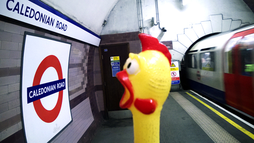
Caledonian-RoadCaledonian Road was constructed c. 1826 and is named from the Caledonian Asylym for Scottish children established on a site nearby in 1815. The road was referred to as ’New Road from Battle Bridge to Holloway’ in 1841.

Prior the station’s opening, the name of Barnsbury was considered, but it opened as Caledonian Road on 15 December 1906.

CAMDEN TOWN
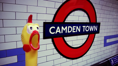
Camden-Town

This area of north west London was built c. 1791, and was once a manor belonging to St Paul’s Cathedral. The manor was obtained, by marriage, in 1795 by Charles Pratt, Earl of Camden, of Camden Place in Kent, and is so named. The Earl allowed his land to be leased for building houses, so in the course of time Camden Town came into use.

Prior the station’s opening, the name Camden Road was considered, but it opened as Camden Town on 22 June 1907.

CANADA WATER
Canada-Water

Canada Water is a new development in this area and it takes its name from the original Canada Docks which were built in 1876.

The station opened as Canada Water on 17 September 1999.

CANARY WHARF
Canary-Wharf

Canary Wharf was built in 1936 and then owners of the wharf, Fruit Lines Ltd, built a warehouse for their imports of fruits from the Canary Islands and the Mediterranean in 1937, hence the name.

The station opened as Canary Wharf on 17 September 1999.

CANNING TOWN
Canning-Town

Canning Town is the industrial and residential district built up during the 1850s to house the labourers working in the nearby Victoria Docks. It has been suggested that the town was named in honour of Lord Canning (a former Governor General of India) but this can be discounted. In fact the town takes it name from an industrial firm which was once centred in this area.

The original Great Eastern Railway station was opened on the south side of the Barking Road as Canning Town in 1847, being moved to its present site in 1888. The adjacent Jubilee Line station was opened as Canning Town on 14 May 1999.

CANNON STREET
Cannon-Street

Cannon Street has no connection with guns or even billiards as the name might suggest, for the candle-makers and wick-chandlers who made their wares for the Church lived here in the late Middle Ages. It was first mentioned in the records of c. 1180 as Candelwichstrete (from Candle and the Old English wic, ’a dwelling’). Through a series of name-shortenings and the Cockney dialect the name was contracted to Cannon Street by the mid-17th century and this modern form was noted by Pepys in his famous diary in 1667. On the site of the present mainline station was once the Steelyard, a store to which members of the German Hanseatic League once brought their goods for sale.

The main line station was opened by the South Eastern Railway on 1 September 1866. The Underground station was opened also as Cannon Street on 6 October 1884.

CANONS PARK
Canons-Park

Six acres of this area were granted to the Prior of the St Augustinian canons of St Bartholomew’s, Smithfield, in 1331 and were recorded as Canons during the 16th century. Canons Park later became the property of the Duke of Chandos and on the estate was built the Duke’s magnificent mansion (also named ’Canons’) which was demolished after its sale by the Duke’s heir in 1747, being broken up and sold by lots at auction.

The station was opened on 10 December 1932 as Canons Park (Edgware), becoming just Canons Park during 1933.

CHALFONT & LATIMER
Chalfont-and-Latimer

Chalfont was recorded as Ceadeles funta in 949 from the personal name of Saxon, Ceadel, and the Old Welch funta, ’a spring or stream’ – ’Ceadel’s home near spring’. Latimer is also derived from a personal name, recorded as Yselhamstede in 1220 and Isenhampstede Latyer in 1389, from William Latymer, who obtained the manor on this site in 1330; the name was over time shortened to Latimer.

The station was opened as Chalfont Road on 8 July 1889 and re-named Chalfont & Latimer in November 1915.

CHALK FARM
Chalk-Farm

It has been suggested this is a corruption of the wording Chalcot Farm but there is no evidence that a farm ever existed in this area. Recorded as Chaldecot(e) in 1253, it is stated that this name is derived from cold cottages, referring to the slopes of nearby Haverstock Hill which were bleak and exposed in the early days of settlement in this area. It seems that there was also a place of shelter here for travellers to London.

Prior to the opening of the station the name Adelaide Road was suggested, but it opened as Chalk Farm on 22 June 1907.

CHANCERY LANE
Chancery-Lane

Chancery Lane was constructed by the Knights Templars c. 1160 and has a long history with many changes of name. It was recorded as Newstrate (New Street) in the early part of the 13th century. During the reign of Henry III (1216 – 72) a house was erected on the eastern side of the lane for the conversion of Jews to the Christian faith. The house became famous and Newstrate became Convers Lane. Towards the end of 13th century, Edward I banished the Jews from the country and the house was used by ’the Keeper of the Rolls’, where the official records of the Inns of Chancery were kept and once again the name of the street was changed to Chancellor’s Lane and was recorded as this in 1320. Eventually this name was superseded (once again) by Chancery Lane, c. 1454 and it seems to imply that the Chancellor (of the Rolls) had a personal office or residence in the Lane.

The station was opened as Chancery Lane on 30 July 1900. After extensive re-construction, a new station was opened as Chancery Lane (Grays Inn) on 25 June 1934, gradually reverting to just Chancery Lane.

CHARING CROSS
Charing-Cross

By tradition, it is said that Edward I in 1291 set up a stone cross near what is now a courtyard of the main-line station to mark the last resting place of the funeral cortege of his Queen Eleanor as it passed from Harby to Westminster – hence the Cross part of the name which was recorded as the stone cross of Cherryngge during the 14th century. There was a little village named Cyrringe c. 1000 and the name is derived from the Old English cierring, ’turning’ or ’to turn’, probably referring to the bend in the river Thames nearby. Charing Cross Road was built in the 1880s.

The Bakerloo Line station was opened as Trafalgar Square on 10 March 1906. The Northern Line station was opened as Charing Cross on 22 June 1907, being re-named Charing Cross (Strand) on 6 Aprill 1914 and further re-named Strand on 9 May 1915 until being closed for re-building on 4 June 1973. The combined station serving the Bakerloo, Northern and Jubilee lines was named Charing Cross from 1 May 1979.

CHESHAM
Chesham

Chesman had an early association with the Old English ceaster – signifying ’a Roman town and fortification’. Recorded during the 10th century as Caesteshamm from the Old English caestel, literally ’a heap of stones’, and hamm, ’a water meadow’ – meaning ’a boundary mark by a spring’. In the course of time the name has changed to Chesham, and nearby is the river Chess.

The station was opened as Chesham on 8 July 1889.

CHIGWELL
Chigwell

Chigwell was recorded as Cingheuuella in the Domesday Book and may be associated with a Saxon named Cicea. But the name is probably derived from the Old English ceaege, ’gorse’ and weg, ’well’ – ’the well within the shingle’. The name has changed in the course of time to Chigwell.

The station was opened as Chigwell by the Great Eastern Railway on 1 May 1903 and first used by Underground trains on 21 November 1948.

CHISWICK PARK
Chiswick-Park

Recorded as Ceswican c. 1000, Chiswick has had various spellings throughout time, and is thought to derive from the Old English cese, ’cheese’ and wic, ’farm’. Although there are parks nearby the station, they are not connected with the original park.

The station was opened as Acton Green on 1 July 1879; re-named Chiswick Park & Acton Green in March 1887; and Chiswick Park on 1 March 1910.

CHORLEYWOOD
Chorleyvoor

The Old English word for a free peasant lower than the rank of nobleman was ceorl and these people once had an encampment on a site near here. Recorded as Charlewoode in 1524 although the name is of an earlier origin and is derived from the Old English ceorl (the group name of the people) and leah, ’a wood’ – ’the wood or clearing of the free peasants’ and known as Chorley Wood by 1730.

The station opened as Chorley Wood on 8 July 1889, and was re-named Chorley Wood & Chenies in November 1915. It reverted to Chorley Wood during 1934 until about 1964 when the single word Chorleywood appeared on maps and later on platform signs.

CLAPHAM COMMON
Clapham-Common

There was an ancient village on the site of the present Clapham, recorded as Cloppaham c. 880 and as Clopeham in the Domesday Book. The name is derived from the Old English clap, ’a hill’ and ham, ’home’ – this wording for hill usually refers to one on stubby ground. The Common was called Clapham Common in 1718 and the meaning of the word is track of open land used in common by the inhabitants of the town.

The station was opened as Clapham Common on 3 June 1900.

CLAPHAM NORTH
Clapham-North

See Clapham Common.

The station was opened as Clapham Road on 3 June 1900 and re-named Clapham North on 13 September 1926.

 CLAPHAM SOUTH
Clapham-South

See Clapham Common.

The name of Nightingale Lane was chosen first, but the station opened as Clapham South on 13 September 1926.

COCKFOSTERS
Cockfosters

This district of north London was recorded as Cockfosters in 1524 and although the origin of the name is uncertain, it is possible that it is derived from either the personal name of a family that once lived here, or a house recorded in 1613 on the edge of Enfield Chase and called Cockfosters. It is suggested that this was a residence of the chief forester (or cock forester), hence this rather unusual name which, until the arrival of the tube, was sometimes spelt as two words.

Prior to the station’s opening the name Trent Park was considered, but it opened as Cockfosters on 31 July 1933.

COLINDALE
Colindale

Colindale was recorded as Collyndene in 1550, Collins Deepe in 1710 and probably should be associated with the family of John Collin who once lived here. The ’Deep’ must refer to the valley of the nearby Silk Stream (later changed to Dale, from the Old English dael, ’a valley’). Colindale, therefore, means ’the home of the Collins Family in the valley’.

The station was opened as Colindale on 18 August 1924.

COLLIERS WOOD
Colliers-Wood

Colliers Wood takes its name from the Colliers or ’charcoal burners’ who worked in this area during the 16th century.

The station was opened as Colliers Wood on 13 September 1926.

COVENT GARDEN
Covent-Garden

Covent Garden was originally the walled enclosure and garden belonging to the monks of Westminster Abbey, recorded in 1491 as Convent Garden (from Old French couvent), which stretched from Long Acre to the Strand. After the dissolution of the monasteries the site was claimed by the Crown and sold to the 1st Earl of Bedford in 1552 who had a house built here, while the 4th Earl had the area laid out as a residential quarter. Covent Garden was famous for its fruit market established in 1661, now moved to a site at Vauxhall in south London, and for its Royal Opera House, the third and present one on this site being built in 1858.

The station opened as Covent Garden on 11 April 1907.

CROXLEY
Croxley

The name is derived from the Old English crocs, ’a clearing’ and leah, ’a forest’ – means ’the clearing in the forest’. It was recorded as Crocesleya in 1166 with variant spellings until 1750 when it was known as Crosley (Green).

The station was opened as Croxley Green on 2 November 1925 and re-named Croxley on 23 May 1949.

DAGENHAM EAST
Dagenham-East

The name Dagenham was originally recorded as Daccanhamm in 692 and is derived from the personal name of the Saxon Daecca and the Old English ham, ’a homestead’ and means ’the home of Decca’ and his family, that once lived on a site here. It was recorded as Dakenham in 1254.

The station was opened as Dagenham by the London, Tilbury & Southend Railway on 1 May 1885, and was first used by Underground trains on 2 June 1902. It was re-named Dagenham East on 1 May 1949.

DAGENHAM HEATHWAY
Dagenham-Heathway

The name Dagenham was originally recorded as Daccanhamm in 692 and is derived from the personal name of the Saxon Daecca and the Old English ham, ’a homestead’ and means ’the home of Decca’ and his family, that once lived on a site here. It was recorded as Dakenham in 1254.

The Heathway as the name suggest takes its name from the road that runs to the north, through Dagenham to Becontree Heath.

The station was opened as Heathway on 12 September 1932 and re-named Dagenham Heathway in May 1949.

DEBDEN
Debden

Debden takes its name from a natural location of the area and is recorded as Deppendana in the Domesday Book. It is derived from the Old English deb, ’deep’ and den, ’valley’ – which means simply ’the deep valley’. It was recorded as Depeden in 1227.

The station was opened by the Great Eastern Railway as Chigwell Road on 24 April 1865, and re-named Chigwell Lane on 1 December 1865. It was again re-named as Debden on 25 September 1949 when first used by Underground trains.

DOLLIS HILL
Dollis-Hill

Dollis Hill was recorded as Daleson Hill in 1593 and later as Dolly’s Hill, but the name origin is unknown: possibly it is taken from a nearby manor that once was here. Dollis Hill Lane, the main road, climbs the Hill at this point.

The station was opened as Dollis Hill on 1 October 1909.

EALING BROADWAY
Ealing-Broadway

Gillingas was recorded for this area c. 698 and is derived from the Saxon people the Gilla and the Old English place name word ending, ing, literally, ’the people who lived at’. It has had many changes of spelling – Ilingis c. 1127, then Yealing to Ealing in 1622. The Broadway is the main road beside the station

The District Line station, adjoining that of the Great Western Railway, opened as Ealing Broadway on 1 July 1879. Central Line platforms being added on 3 August 1920.

EALING COMMON
Ealing-Common

The Common lies to the south of the Ealing Broadway station. The meaning of the word ’common’ is track of open land used in common by the inhabitants of the town.

The station was opened on 1 July 1879 as Ealing Common; renamed Ealing Common & West Acton in 1886; and reverted to Ealing Common on 1 March 1910.

EARL’S COURT
Earls-Court

After the Conquest the De Vere family were granted the Manor of Kensington which at one time had a court house. Later the head of the family was created Earl of Oxford, hence the name Earl’s Court. The old Court stood beside a little lane which is still called Old Manor Yard, but the court building was demolished in 1886. Now on the site are Barkston and Bramham Gardens.

The station was opened as Earl’s Court on 31 October 1871, burnt down 30 December 1875 and repaired temporarily; new station further west opened 1 February 1878.

EAST ACTON
East-Acton

See Acton Town for meaning the name. East Acton was formerly a separate hamlet from Acton and was recorded as Eastacton in 1294.

The station was opened as East Acton on 3 August 1920.

EASTCOTE
Eastcote

Eastcote was known as Estcotte during the 13th century and the name is only slightly changed in the course of time. The name is derived from the Old English cote, ’cottage’ or ’shelter’ and means ’the cottage(s) to the east, literally the hamlet to the east of Ruislip, for there was once a Westcott also.

The station was opened as Eastcote on 26 May 1906.

EAST FINCHLEY
East-Finchley

See Finchley Central.

The station was opened as East Finchley on 22 August 1867 and was first used by Underground trains on 3 July 1939.

EAST HAM
East-Ham

East Ham was recorded as Hamme in 958 which signifies that this and West Ham comprised one single geographical location and not until 1206 was the name Eastham recorded. The name is derived from the Old English hamm, ’a water meadow’ – referring to the low-lying riverside meadow near the bend of the Thames. (See also West Ham.)

The station was opened as East Ham by the London, Tilbury & Southend Railway on 31 March; first used by Underground trains on 2 June 1902.

EAST PUTNEY
East-Putney

See Putney Bridge.

The station was opened as East Putney by the London & South Western Railway on 3 June 1889 and was served by District Line trains from that date.

EDGWARE
Edgware-(2)

Edgware was recorded Aegces Wer in 972–8 and Eggeswera later and is derived from the personal name of a Saxon Ecgis and weir – means simply, ’Ecgis’, fishing pool from a local stretch of water. From an early set of boundaries the precise position of the fishing pool can be ascertained; it is where Watling Street (now Edgware Road) crosses the Edgware Brook.

The station was opened as Edgware on 18 August 1924.

EDGWARE ROAD
Edgware-Road

Edgware Road was once part of Roman road called Watling Street that ran from Dover through London to St Albans. During the 18th century the road became Edgware Road, being the direct route from Marple Arch to Edgware, which lies to the north west. Until the early 1900s it was often spelled Edgeware.

The Metropolitan line station was opened as Edgeware Road on 10 January 1863; the separate Bakerloo Line station was opened as Edgware Road on 15 June 1907.

ELEPHANT & CASTLE
ElephantCastle3

Elephant & Castle was named after an old tavern which was originally on the site of a 16th-century playhouse, the ’Newington Theatre’, which staged many of Shakespeare’s plays. Later converted into a tavern and, during the 18th century, to a posting house and inn, being rebuilt in 1816 and again in 1898. The tavern had a gilt model of an elephant and castle on its frontage, which was preserved when the building was demolished in 1959, and is now displayed in the nearby shopping centre. The sign originated from the badge of the Cutler’s Company who adopted the elephant as its device in 1445 when at the marriage of Henry VI to Queen Margaret the members of the Company wore elephants as decorations upon their coats or shields; this may have represented the ivory used cutlers for their craft. The theory that the name is a corruption of The Infanta of Castile has no historical foundation. The present day ’pub’ stands a short distance from the old site.

The Northern Line station opened as Elephant & Castle on 18 December 1890; the Bakerloo Line station on 5 August 1906.

ELM PARK
Elm-Park

As the name suggest, Elm Park takes its name from natural local woodland and was perhaps a meeting place of the local inhabitants long ago.

The station was opened as Elm Park on 13 May 1935.

EMBANKMENT
Embankment2

The Embankment is the roadway by the River Thames. In 1863 an Act of Parliament was passed for the building of the embankments and work started immediately on the new Victoria Embankment between Westminster and the Temple. It was completed and opened to the public in 1870.

The District Line station opened as Charing Cross on 30 May 1870. The Bakerloo Line station, opened on 10 March 1906, was first named Embankment; then re-named Charing Cross (Embankment) on 6 April 1914 when the Northern Line platforms were opened. The combined station was named Charing Cross 0n 9 May 1915. It was re-named Charing Cross Embankment on 4 August 1974, being further re-named as Embankment on 12 September 1976.

EPPING
Epping

Epping was recorted as Eppinges in the Domesday Book from the people known as Yippinga, derived from the Old English yppe, ’ a raised place’ and the ing word ending (literally ’the people who lived here’) and means ’the people who live on the uplands’ referring also to a look-out post they had here. It was recorded as Upping in 1227, then Epping.

The station was opened as Epping by the Great Eastern Railway on 24 April 1865 and first used by underground trains on 25 September 1949. Since 30 September 1994 Epping has been the eastern terminus of the Central Line, the Ongar branch having closed on that date.

EUSTON
Euston

Euston takes its name from the main-line station, opened on 20 July 1837, which was adjacent to Euston Grove and Euston Square on the estate held by the Duke of Grafton, whose seat was at Euston Hall, Suffolk.

Prior to the Underground station’s opening the name of Melton Street was considered, but the station opened as Euston on 12 May 1907.

EUSTON SQUAREEuston-Square
Euston Square was laid out in 1805 and, like Euston, takes its name from the seat of the Duke of Grafton. The station is on the site of a farm which existed as late as 1830.

The station was opened as Gower Street on 10 January 1863 and was re-named Euston Square on 1 November 1909.

Share This:

LONDON TUBE STATIONS 1, A-B

”Hi, my name is Francis. I am your travel guide to the roots of the London Underground and to the origins of the names of all stations currently in use. Relax and welcome! Here are the stations from Acton Town to Burnt Oak.”

ACTON TOWN

Acton-Town

Acton Town was recorded as Acton(e) in 1181 and the name is derived from the Old English ac, ’oak’ and tun, ’a farm’ – meaning ’the farm by the oak tree(s)’. There was a busy little village in this area from the 16th century onwards developing into the town of Acton. It has been known as Church Acton to distinguish it from East Acton, formerly a separate hamlet.

The station was built as Mill Hill Park on 1 July 1879; rebuild with the name Mill Hill Park on 20 Feb 1910; but re-named Acton Town on 1 March 1910.

ALDGATE

Aldgate

Aldgate is named after the gate which once spanned the road between Dukes Place and Jewry Street. The original gate was built by the Saxons and the name is derived from Aelgate – meaning ’open to all’ a free gate. It has been also interpreted as the old-gate but this is probably incorrect. Aldgate was one of the original four gates in the City Wall, rebuilt in 1609 but demolished in 1761.

The station was opened as Aldgate on 18 November 1876.

ALDGATE EAST

Aldgate-East

See Aldgate.

The proposed name of the original station was Commercial Road, but it opened as Aldgate East on 6 October 1884. The station was moved a short distance east in 1938.

ALPERTON

Alperton

Alperton, originally Ealhberhington, was recorded as Alprinton in the 12th century and the name is derived from the personal name of the Saxon Ealhbeart and Old English tun, ’a farm’ – means ’the farm of Ealhbeart’ and his family who once lived on a site here. It is sometimes recorded that Alperton is derived from ’apple farm’, but this can be discounted. The name changed to Alperton in the course of time.

The station was opened as Perivale-Alperton on 28 June 1903 and re-named Alperton on 7 October 1910.

AMERSHAM

Amersham

Amersham was recorded as Agmondesham in 1066 and the name is derived from the original wording Ealgmundsham, being the personal name of the Saxon Ealgmund, and Old English ham, ’a homestead’– ’the home of Ealgmund’ and his family who once lived a site here. Changed to Amersham c. 1675.

The station was opened as Amersham on 1 September 1892. It was renamed Amersham & Chesham Bois on 12 March 1922, reverting to Amersham in about 1934.

 ANGEL

Angel

This district and road junction at the end of City Road takes its name from a once famous coaching inn that dates from at least 1638.

The Angel was one of the commonest mediaeval inn signs and in the mid-18th century there were 23 Angel Alleys and 30 Angel Courts in London. The building now stands empty and little noticed on the corner of Pentonville Road and Islington High Street. The only indication of its past history is Angel Mews, which runs behind the building.

The station was opened as Angel on 17 November 1901 and was completely rebuild in 1992 to cope with a much higher usage.

ARCHWAY

Arcway

In 1813 the Archway Road was constructed to avoid the slope up to Highgate Hill. The viaduct was designed by Sir Alexander Binnie and built in 1897 over the road in place of the former Highgate Archway which was a short tunnel. The district is, therefore, known as Archway. Railings, seven feet high, were erected on the viaduct to discourage the many suicides that took place here, but the view is still spectacular.

The station was opened as Highgate on 22 June 1907, although Archway Tavern appears on at least one pre-opening map. With the building of the northern extension to form an interchange with Highgate LNER, Highgate South was considered before the name was changed to Archway (Highgate) on 11 June 1939, and Archway in December 1947.

ARNOS GROVE

Arnos-Grove

Arnos Grove was recorded as Arnold(e)s Grove in 1551 and it seems that the name should be associated with the 14th-century family of Margery Arnold who once lived in this area. The Grove itself runs to the north of the nearby Arnos Park.

The station’s name was planned to be Bowes Road, but it opened as Arnos Grove on 19 September 1932.

ARSENAL

Arsenal

Arsenal takes its name from the famous Arsenal Football Club which moved here in 1913 from Woolwich where it had been founded at the Royal Arsenal Factory in 1884 – hence the nickname for the team: The Gunners.

The station was opened as Gillespie Road on 15 December 1906 and re-named Arsenal on 31 October 1932 at a pre-war height of the Club’s fame.

BAKER STREET

Baker-Street

Baker Street was completed in 1799 and was named after either Sir Edward Baker of Ranston in Dorset who was the owner of an estate in the area, or more probably, William Baker who developed an estate after purchasing land from William Portman (who owned the whole area) in the eighteenth century. The street is, of course, associated with the famous fictional detective Sherlock Holmes ’who had rooms at 221b Baker Street’.

The Metropolitan Line station was opened as Baker Street on 10 January 1863, the ’extension’ line station opened on 13 April 1868, and the Bakerloo Line station on 10 March 1906.

BALHAM

Balham

Balham was known as Baelenham in 957 and later as Baelganhamm being derived from the personal name of the Saxon Bealga, and Old English ham, ’a homestead’. It means ’the home of Bealga’ and his family who once lived on a site here. It was recorded as Balgaham in c. 1115.

The station was opened as Balham on 6 December 1926.

BANK

Bank

Bank takes its name from the Bank of England which was established in 1694 based on the proposals of William Paterson, a Scotsman. From 1964–1724 the business of the Bank was carried on at Mercers’ Hall, and then at Grocers’ Hall. In 1724 a site in Threadneedle Street was purchased; the building was erected in 1732–34 and rebuild in 1940.

Threadneedle Street was recorded in 1598 as Three needle Street; this probably refers to a tailor’s sign, for this area was once an enclave of tailors and drapers, or a children’s game ’threadneedle’, first noticed in 1751 but which may be two centuries older. There is no evidence that the street was ever the centre for the Needlemakers’ Company.

The Waterloo & City Railway was opened by the Duke of Cambridge on 11 July 1898 which was the 50th anniversary of the opening of the original Waterloo Station. The City Station was called City, although sometimes referred to as Mansion House. It was not re-named Bank until 28 October 1940. The Northern Line station was opened as Bank on 25 February 1900, Lombard Street having been its planned name at one stage, followed by the Central Line Bank station on 30 July 1900. The re-constructed station was opened on 5 May 1925.

BARBICAN

Barbican

Barbican was called barbicana when a Roman Tower once stood just north of the street that now bears this name. Barbicana is Latin in origin and, in this turn, is probably from the Persian wording meaning ’upper chamber’. The Saxons named the tower burgh kennin — meaning ’town watchtower’, on which for many centuries fires were lit to guide travellers to their destinations across London. It seems the tower was pulled down in 1267 on the orders of Henry III but it was then rebuilt in 1336 on the orders of Edward III. The date when the tower was finally demolished is uncertain but it is known there was a house on the site in 1720. The area has been extensively re-developed since the Second World War as the Barbican Project.

The station was opened as Aldersgate Street on 23 December 1865; re-named Aldersgate & Barbican 1923, and Barbican on 1 December 1968.

BARKING

Barking

Barking was recorded as Berecingum in 735 and is probably named from the Saxon people the Bercia and the Old English place name word ending ing, literally ’the people who lived at ’. Barking, we can deduce, means – ’the home of the Bercias’. The area was divided in the various manors in the Middle Ages, one being Berengers, a variation on the original name. It is also possible that the name can be interpreted as ’the dwellers among the birch trees’ and, maybe, this referred to the Bercias.

The station was opened as Barking by the London, Tilbury & Southend Railway on 13 April 1854 and first used by Underground trains on 31 May 1902.

BARKINGSIDE

Barking-Side

Barkingside was named in 1538 being on the extreme edge of the old parish of Barking. The word side is associated with a slope or hill especially one extending for a considerable distance which was no doubt the case during the 16th century.

The station was opened as Barkingside by the Great Eastern Railway on 1 May 1903 and first used by Underground trains on 31 May 1948.

BARONS COURT

Barons-Court

Unlike Earl’s Court this name has no connections with the law, or the nobility, but was so named after an estate that extends from the District Line to Perham Road to the south. The estate was planned by Sir William Palliser and built at the end of the 19th century. The name was fabricated perhaps in allusion to the title of Court Baron then held by the Lord of the Manor or because Earl’s Court was the name of the nearby district.

The station was opened as Barons Court on 9 October 1905.

BAYSWATER

Bayswater

Bayswater was recorded as Bayard’s Watering in 1380 and has had many variant spellings before named as Bay(e)swater by 1659. The original Bayard’s Watering was the where the Westbourne Stream crossed the Oxford Road (now Bayswater Road) and is possibly derived from the Bayard family who once lived in this area.
The station was opened as Bayswater on 1 October 1868. Later known as Bayswater (Queen’s Road) and then Queen’s Road, Bayswater. Re-named Bayswater (Queen’s Road) & Westbourne Grove on 20 July 1922. Then name reverted to Bayswater in 1933.

BECONTREE

Becontree

Becontree is thought to take its name from a local natural feature although associated with the Saxon people the Beohha who had an encampment by a distinctive tree, which was probably a boundary mark. It was recorded as Beuentreu in the Domesday Book. It is possible, however, that the name is from Old English, beacen-treo(w), ’beacon tree’ being an old meeting place.

The station was opened as Gale Street by the London Midland & Scottish Railway on 28 June 1926; re-named Becontree 18 July 1932. Used by Underground trains from 12 September 1932.

BELSIZE PARK

Belzise-Park

Belsize Park was recorded as Balassis in 1317 from the Old French wording bel asis, which means ’beautifully situated’, and was no doubt aptly named from the manor house and park which were once on the present site of Belsize Square. No fewer than ten streets in this part of north west London include Belsize in their name.

Before the station opened plain Belsize was considered for the name, but it was opened as Belsize Park on 22 June 1907.

BERMONDSEY

Bermondsey

Bermondsey was recorded as Vermudesi c. 712 and as Bermundesy in the Domesday Book and the name is derived from the Saxon lord of the district, Beormund and his family who lived here and the Old English Eg – ’an island’ (or marsh) – ’Beormunds island’. The name changed to its present spelling over time.

The station opened as Bermondsey on 17 September 1999.
BETHNAL GREEN

Bethnal-Green

Blithehale was the recorded name for this district during the 13th century. The second element hale means ­– ’an angle or corner of land’. Maybe Blithe is a corruption of the personal name Blida, a family who resided here in the reign of Edward I (1272–1307), or perhaps refers to an ancient stream of this area called Bythe. The ’village green at Bathon’s river meadow’ could be the complete meaning of the name. It has had many changes or spelling until recorded as Bethnal Green in 1657. On what remains of the Green now stand St John’s Church (built in 1825–28), the Bethnal Green Museum and the local public gardens.
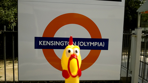
The committee of the New Works Programme 1935/40 considered the name Bethnal to avoid confusion with the London North Eastern Railway station of Bethnal Green Junction although when the station opened as Bethnal Green on 4 December 1946 the LNER had adopted the same name for their own station.

BLACKFRIARS

Blackfriars

This area takes its name from the colour of the habits worn by the friars of a Dominican monastery who were known as Black Friars. The monastery was established during the 13th century by the Earl of Kent, but was closed on the orders of Henry VIII in 1538. Part of the building later became the Blackfriars Theatre which was pulled down in 1665.

The station is built on the site of Chatham Place which was named in honour of William Pitt, 1st Earl of Chatham. The station was opened as Blackfriars on 30 May 1870.

BLACKHORSE ROAD

Blackhorse-Road

Blackhorse Road was recorded as Black House Lane in 1848 which is the correct spelling, for the road takes its name from an old Black House, being on the site of an old Clock House. Changed to Blackhorse Lane (then road) at a later date, this change has some connection with the east London dialect.

The station was opened as Blackhorse Road on 1 September 1968.

BOND STREET

Bond-Streer

Bond Street was laid out in 1686 to designs by Sir Thomas Bond, Comptroller of the Household of Queen Henrietta Maria (The Queen Mother), and is named after him, although he died in 1685. The street is now renowned for its fashionable shops and picture dealers’ galleries. The south portion of the street is known as Old Bond Street, being re-named in 1734, while the north portion running to Oxford Street is known as New Bond Street, named in 1732.

Before the station opened, the name Davies Street was proposed, but it opened as Bond Street on 24 September 1900.

BOROUGH

Borough

This district is part of ancient London, for here the Romans founded a settlement and built a ’high street’ as an approach to London Bridge. The Borough is a small part of Southwark and although the word borough means ’a fortified place’ (Old English burh) the word now has another definition. It also refers to a town with its own local government, for in the late Middle Ages this was the only London Borough both outside the City Wall and sending its own Member to Parliament. It has kept its name ever since.

The station was opened an Borough on 18 December 1890.

BOSTON MANOR

Boston-Manor

This Boston has not connection with its more famous namesakes in Lincolnshire or the USA. Known during the 14th century as Bordeston from Bords (a personal name) and the Old English tun, ’a farm’ – means ’Bords farm’, which in its turn has been corrupted to Burston, then Boston during the 16th century. The Manor originally belonged to the convent of St Helen’s Bishopsgate and its ownership has changed hands many times during the course of history. Boston Manor is noted for its Tudor and Jacobean Mansion – ’Boston House’.

The station was opened on 1 May 1883 as Boston Road, re-named Boston Manor on 11 December 1911, and the rebuilt station was completed 25 March 1934.

BOUNDS GREEN

Bounds-Green

Bounds Green is a district of North London whose name is derived from its association with the families of John le Bonde in 1294 and Walter le Bounde during the 13th century and being recorded as le Boundes in 1365. Bounds Green is the modern version of the name. Nothing is left of the Green, the area now occupied by the Bounds Green Road.

Prior to the opening of the station the name of Brownlow Road was proposed, but it opened as Bounds Green on 19 September 1932.

BOW ROAD

Bow-Road

This main road is so called from an arched (’bow’) bridge built over the River Lea in the 12th century; or from the bow (or bend) in the road to the east of the station, which can still be seen just to the west of the modern fly-over.

The station was opened as Bow Road on 11 June 1902.

BRENT CROSS

Brent-Cross

Brent Cross takes its name from the nearby river that joins the Thames at Brentford and was recorded as Braegente in 959. In its turn the river-name is derived from the hypothetical Old English Brigantiga, probably meaning the holy or high river and as the river flows mostly through low country the former is more likely. The name became Brent(e) by the 13th century.

The station was originally proposed to have been named Woodstock, but it was opened as Brent on 19 November 1923 and re-named Brent Cross on 20 July 1976.

BRIXTON

Brixton

Brixton is recorded as brixges stane in 1062, and as Brixistan in the Domesday Book. The name is derived from the personal name of the Saxon Beorhtric and the Old English stane, ’stone’. Stones were often used as meeting points. The name changed to Brixton in the course of time.

The station was opened as Brixton on 23 July 1971.

BROMLEY-by-BOW

Bromley-by-Bow

Bromley was recorded as Braembelege in 1000, Brambeley in 1128 and is derived from the Old English broom (tree) and leah, ’a forest’. The  main road (Bow Road) is so called from an arched (’bow’) bridge built over the River Lea in the 12th century; or from the bow (or bend) in the road.

The station was opened by the London, Tilbury & Southend Railway on 31 March 1858 as Bromley. It was first used by Underground trains on 2 June 1902 and was re-named Bromley-by-Bow on 5 May 1968.

BUCKHURST HILL

Buckhurst-Hill

As the name suggests, Buckhurst Hill takes its name from a local natural feature, recorded as Bocherst(e) in 1135 from the Old English beech (tree) and hyrst, ’a copse’ or ’wood’ – later to be called Buckhurst. The area has also been called Goldhurst, the ’gold’ referring no doubt o the colour of the trees in the wood. The Hill refers to another nearby feature.

The station was opened as Buckhurst Hill by the Eastern Counties Railway on 22 August 1856 and first used by Underground trains on 21 November 1948.

BURNT OAK

Burnt-Oak

Tradition has it that the Romans had a site near here which they used as a boundary mark where fires were lit as a guide – so a burnt oak.

Prior to the opening of the station the name Sheaves Hill was proposed. This was not liked by Hendon Urban District Council, who suggested Burnt Oak, Orange Hill or Deansbrook. The station was opened as Burnt Oak on 27 October 1924.

Share This:

SUURIN JA KAUNEIN SOPP

Jo neljättätoista kertaa Helsingin Rautatientorilla järjestettävä Suuret Oluet – Pienet Panimot (SOPP) -tapahtuma on Suomen suurin pienpanimokatselmus.

PANIMOIDEN JA OLUIDEN JUHLAA. Tänä vuonna tapahtumassa on mukana 31 kotimaista yritystä sekä Pihtla Õlleköökin panimo Virosta. Festivaalin kutsuvierasmaa on Norja, josta tulee lähes 50 olutta yhdeksältä eri panimolta.

Panimoiden osastoilla työskentelevät henkilöt ovat päivittäin tekemisissä oluidensa kanssa. SOPP on näin ollen myös erinomainen paikka saada ensikäden tietoa kunkin valmistajan tuotteista. Kaikkiaan panimojuomia ja tisleitä on tapahtumassa tarjolla yli 400.

Panimoilta riitti väkeä tiskin molemmin puolin. Tässä Fat Lizard Espoosta kohtaa Maku Brewingin Tuusulasta.

Pienpanimot panivat olutta vuonna 2015 yhteensä 14,1 miljoonaa litraa ja tänä vuonna mentäneen jo reilusti yli 15 miljoonan litran. Tällä hetkellä Suomessa on noin 70 pienpanimoa ja niiden osuus kotimaisen oluen myynnistä 3,8 prosenttia.

FESTIVAALIN AVAJAISPÄIVÄNÄ alue täyttyi oluenystävistä muutamissa tunneissa. Lipunmyynti ja lasipiste vetivät hyvin, eikä jonoja päässyt syntymään ainakaan hitaan palvelun takia. Panimoiden pisteillä tilanne oli sama, juomaa laskettiin nopeasti mutta asiakkaat huomioiden. Vaikka alueella oli enimmillään 3 000 asiakasta, jopa vessoihin pääsi jonottamatta. Järjestelyissä ei ollut moitteen sijaa.

Kävijöiden toiveita oli kuunneltu, ja perinteisen festivaalilasin lisäksi oli mahdollisuus lunastaa desilitran kokoinen maistelu- ja muistolasi viiden euron hintaan. Panin ilolla merkille, että SOPP on viime vuosien aikana muuttunut yhä enemmän juomatapahtumasta maistelufestivaaliksi.

Yhden desilitran vetoinen maistelulasi osoittautui välittömästi hyvin suosituksi.

Ruokatarjonta on niin ikään parantunut paljon vuosien mittaan, mutta sen suhteen voidaan ensi vuodelle odottaa vielä runsaasti uudistuksia. Craft Beer Helsinki -tapahtuman katuruokateema sopisi hyvin myös tänne. Ruokailusta parhaat pisteet keräsi Bryggeri Helsingin lyhyt mutta maistuva lista, jossa kasvissyöjätkin oli huomioitu.

SOPP-TAPAHTUMAN yhteydessä järjestettiin tänä vuonna uudistettu Suomen Paras Olut -kilpailu, johon otti osaa 148 olutta 30 eri panimolta. Kilpailusarjojen lukumäärää oli vähennetty, mutta samalla amerikkalaistyylinen vaalea ja keskitumma ale oli onnistuttu erottamaan omaksi sarjakseen.

Minulla oli suuri ilo ja kunnia olla mukana alkukilpailujen lisäksi finaalin kutsutuomaristossa. Tehtävä oli mieluinen ja kilpailun taso todella kova. Koko kilpailun tasaväkisyyttä kuvaa hyvin se, että voittajaolut päihitti lähimmän vastustajansa pienimmällä mahdollisella erolla äänin 4–3. Kaikki tulokset julkistetaan elokuun 17. päivä Helsingissä järjestettävässä juhlagaalassa.

TAPAHTUMA ON AVOINNA lauantaihin 30.7. asti. Tässä muutamia tärppejä ja täsmäsuosituksia.

Vaaleiden lagereiden monipuolisuus tulee hyvin esiin, jos käy maistamassa Laitilan Mississippi-höyryoluen, Maku Brewingin Eero-lagerin, Beer Huntersin Mufloni Pilsnerin, Plevnan Petolinnun ja Stadin Panimon South Pacific Imperial Pale Lagerin.

Edes perjantaina yllättäneet ukkoskuurot eivät pilanneet tunnelmaa, siitä pitivät huolta nämä kaksi tamperelaista Mörköä.
Edes perjantaina yllättäneet ukkoskuurot eivät menoa haitanneet, tunnelmaa nostattivat mm. nämä kaksi tamperelaista Mörköä.

Tapahtuman viisi helmeä ovat järjestyksessä Imperial Stout Bourbon Oak 9,7 % (Laitila), Vuorineuvos Imperial Stout Barrel Edition 9,5 % (Ruosniemen Panimo), Bryggeri Rhum Barrel Aged Barley Wine 11,0 % (Bryggeri Helsinki), Mörkö 7 % (Plevna) ja Pyynikin Sunset Superman Orange Porter 7,5 % (Pyynikin Käsityöläispanimo).

Kokeile myös panimoravintola Bryggeri Helsingin Sloppy Joe Burger ja saman panimon IPA 5,5 % – A match made in heaven!

Bryggeri Helsingin Sloppy Joe Burger, katuruokaa parhaimmillaan. Bryggeri IPA kruunasi ruokahetken.
Bryggeri Helsingin Sloppy Joe Burger on katuruokaa parhaimmillaan. Ruokahetken kruunasi panimoravintolan oma IPA.

Share This: